- North Carolina Highway 116
-
NC 116
Webster Road 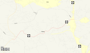
Route information Maintained by NCDOT Length: 4.1 mi[2] (6.6 km) Existed: 1930[1] – present Major junctions South end: 


 US 23 / US 441 / US 64 Truck near Dillsboro
North end:  NC 107 in Sylva
Location Counties: Jackson Highway system ←  NC 115
US 117  →
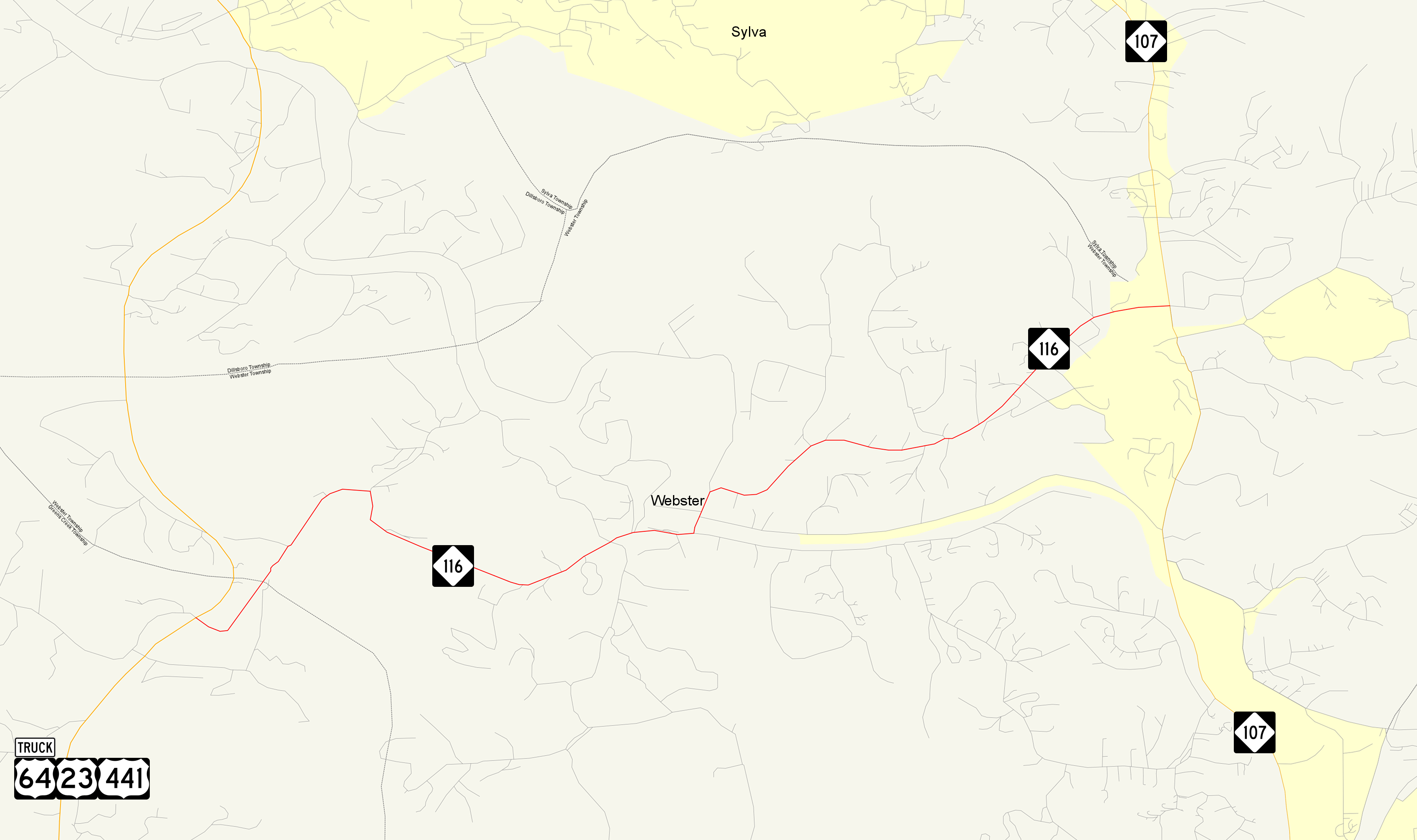
→North Carolina Highway 116 is a primary state highway in the state of North Carolina. The highway runs east–west but is signed south–north, connecting the town of Webster between two major highways in Jackson County.
Contents
Route description
NC 116 is a two-lane mountain valley highway; it is best known as a short-cut to Western Carolina University from Franklin and North Georgia. Mildly curvy, it passes through the town of Webster, where it crosses the Tuckasegee River.
History
Established in 1930 as new primary routing from NC 285 (today as Old Franklin Road) to NC 106 (renumbered in 1940 as NC 107). In the mid-1950s, the highway was extended west to a new alignment of US 23/US 411.[1]
Junction list
The entire route is in Jackson County.
Location Mile[2] Destinations Notes 0
US 23 / US 441 / US 64 Truck – Dillsboro, FranklinNC 116 begins at US 23 / US 441 mile marker 29; no left/southbound turn from NC-116 onto US 23 / US 441 South, must take US 23 /US 441 North and make a u-turn at Cagle Br Rd Sylva 4.1 NC 107 – Sylva, CullowheeNC 116 ends 1.000 mi = 1.609 km; 1.000 km = 0.621 mi
Concurrency terminus • Closed/Former • Incomplete access • UnopenedReferences
- ^ a b "NCRoads.com: N.C. 116". http://members.cox.net/ncroads/nc116.html. Retrieved 2011-06-27.
- ^ a b Google, Inc. Google Maps – North Carolina Highway 116 (Map). Cartography by Google, Inc. http://maps.google.com/maps?saddr=N+Carolina+116+N%2FWebster+Rd&daddr=E+Webster+Rd&hl=en&ll=35.355806,-83.22135&spn=0.057051,0.111494&sll=35.35294,-83.200166&sspn=0.003548,0.006968&geocode=FUEuGwIdS6QJ-w%3BFSpyGwIdOnUK-w&mra=me&mrsp=1,0&sz=18&z=14. Retrieved 2011-06-26.
Categories:- State highways in North Carolina
- Transportation in Jackson County, North Carolina

Wikimedia Foundation. 2010.