Tuckasegee River

Tuckasegee River

Infobox River
river_name = Tuckasegee River
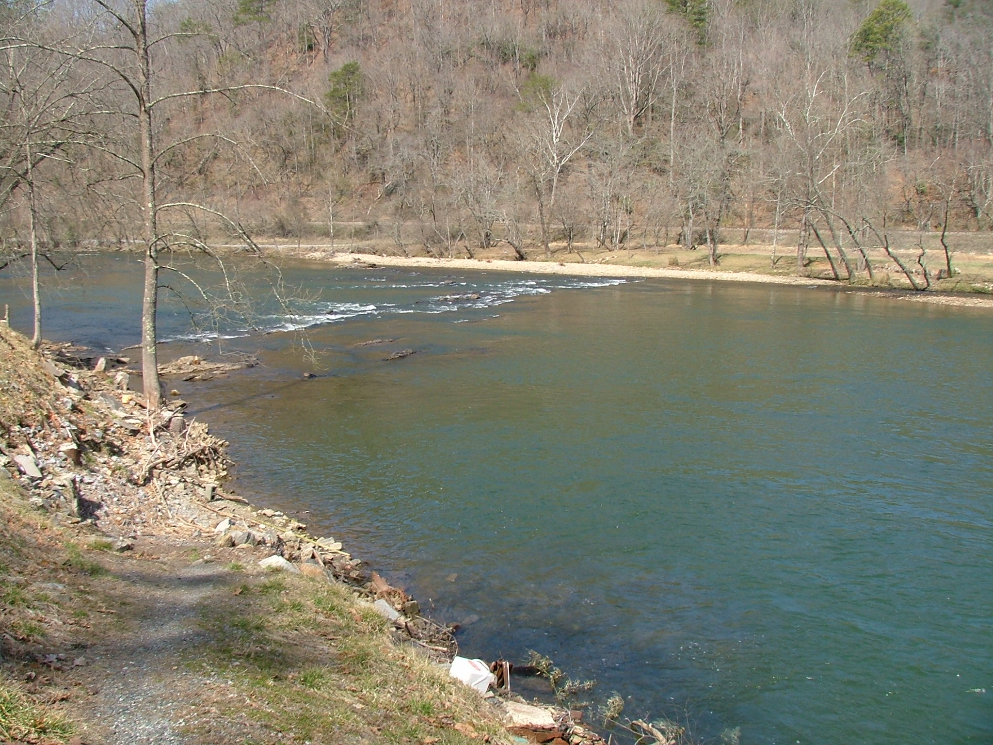


caption = Upriver of Bryson City near US 19 bridge.
origin = Confluence of Panthertown and Greenland Creeks
mouth = Fontana Lake on the Little Tennessee River
basin_countries =
length =
elevation =
mouth_elevation = 1709 ft (521 m) Gnis|1016248]
discharge =
watershed =

The Tuckasegee River (also frequently spelled Tuckaseegee) flows in western North Carolina, USA. It begins its course in Jackson County, at the confluence of Panthertown and Greenland Creeks. It flows in a northwesterly direction into Swain County, where it enters the Little Tennessee River.

The name Tuckaseegee is an anglicization of the Cherokee word "daksi-yi" (pron. "dahkshi-yi" in the local Cherokee variety) which means Turtle Place. The river is dotted with Cherokee (and probably earlier) fishing weirs, many of which are only visible when water levels are low.

Canoeing, rafting and kayaking are among the recreational opportunities along the river.

Variant names

According to the Geographic Names Information System, the Tuckasegee River has also been known as:
* Tuckaseegee River
* Tuckaseigee River

References


Wikimedia Foundation. 2010.

Игры ⚽ Нужно решить контрольную?

Look at other dictionaries:

  • Tuckasegee River — ▪ river, North Carolina, United States       river rising in the Blue Ridge (Pisgah National Forest) west of Brevard, in Jackson county, North Carolina, U.S. The Tuckasegee flows some 50 miles (80 km) northwest past Cullowhee, Whittier, and… …   Universalium

  • Tennessee River — This article is about the river. For the song, see Tennessee River (song). Coordinates: 37°04′02″N 88°33′53″W / 37.06722°N 88.56472°W / …   Wikipedia

  • Little Tennessee River — oberes Einzugsgebiet des Tennessee Rivers Daten …   Deutsch Wikipedia

  • Little Tennessee River — Little Tennessee Little Tennessee les palissades de Fort Loudoun au Fort Loudoun State Park à Vonore …   Wikipédia en Français

  • Jackson County, North Carolina — Old Jackson County Courthouse in downtown Sylva …   Wikipedia

  • North Carolina Highway 281 — NC 281 Route information Maintained by NCDOT Length: 36.6 mi[1] …   Wikipedia

  • Cullowhee, North Carolina —   CDP   Location of Cullowhee, North Carolina …   Wikipedia

  • Bryson City, North Carolina — Infobox Settlement official name = Bryson City, North Carolina settlement type = Town nickname = motto = imagesize = 250px image caption = image mapsize = 250x200px map caption = Location of Bryson City, North Carolina mapsize1 = map caption1 =… …   Wikipedia

  • Dillsboro, North Carolina —   Town   Dillsboro …   Wikipedia

  • List of rivers of North Carolina — This is a list of rivers in the U.S. state of North Carolina. By Drainage Basin This list is arranged by drainage basin, with respective tributaries alphabetically indented under each larger stream s name. Atlantic Ocean * North Landing River **… …   Wikipedia

Share the article and excerpts

Direct link
Do a right-click on the link above
and select “Copy Link”