- Nordeste (Azores)
-
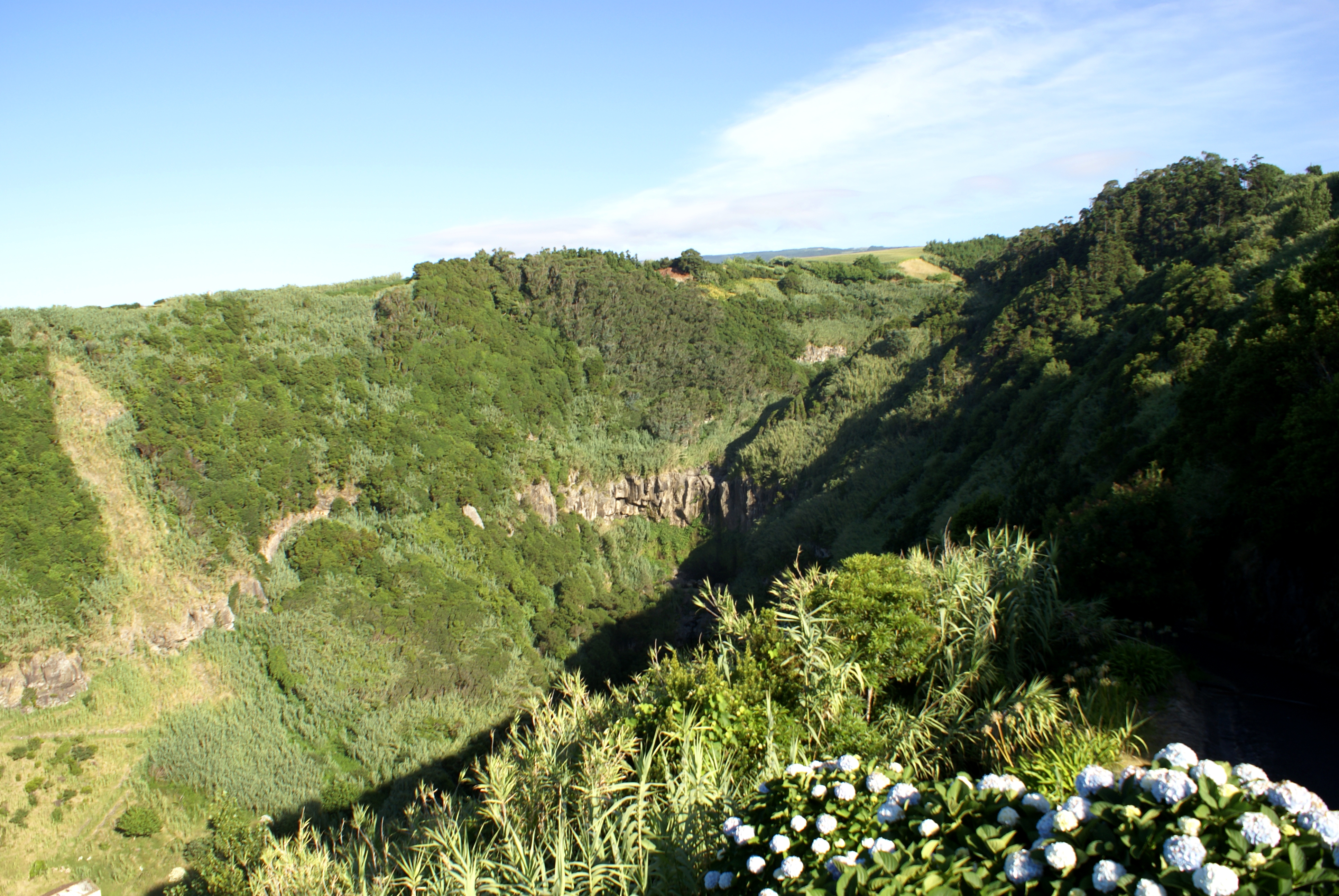
Nordeste Municipality (Concelho)  One of the rugged river-valleys that cross Nordeste; The Salto da Farinha Belvedere near Pedreira
 Flag
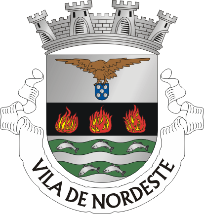
Flag Coat of arms
Official name: Concelho do Nordeste Name origin: nordeste, Portuguese for northeast Country  Portugal
Autonomous Region  Azores
Group Oriental Island São Miguel Municipality Nordeste Civil Parishes Achada, Achadinha, Algarvia, Lomba da Fazenda, Nordeste, Salga, Santana, Santo António de Nordestinho, São Pedro de Nordestinho Center Nordeste - elevation 138 m (453 ft) - coordinates 37°49′58″N 25°8′47″W / 37.83278°N 25.14639°W Highest point Pico da Vara - location Serra da Tronqueira, Nordeste, Nordeste - elevation 1,018.73 m (3,342 ft) - coordinates 37°48′32″N 25°12′48″W / 37.80889°N 25.21333°W Lowest point Sea level - location Atlantic Ocean - elevation 0 m (0 ft) Length 15.01 km (9 mi), West-East Width 9.20 km (6 mi), North-South Population 5,254 (2001) Settlement c. 1514 LAU Concelho/Câmara Municipal - location Praça da República, Nordeste, Nordeste - elevation 140 m (459 ft) - coordinates 37°49′57″N 25°8′48″W / 37.8325°N 25.14667°W President José Carlos Barbosa Carreiro (PPD-PSD) Municipal Chair João de Deus Andrade de Sousa (PPD-PSD) Timezone Azores (UTC-1) - summer (DST) Azores (UTC0) ISO 3166-2 code PT- Area Code & Prefix (+351) 292 XXX XXX Demonym Micalense; Nordestense Patron Saint São Jorge Municipal Address Praça da República Municipal Holidays Monday closet July 18  Location of the municipality of Nordeste in the archipelago of the Azores
Wikimedia Commons: Nordeste (Azores) Website: http://www.cm-nordeste.pt Statistics from INE (2001); geographic detail from Instituto Geográfico Português (2010) Nordeste (Portuguese pronunciation: [ˌnɔɾˈðɛʃt(ɨ)]; Portuguese for northeast, hence that part of the island) is a municipality on the northeastern part of São Miguel Island in the Azores. It has a population of 5,254.
Geography
Nordeste is located east of Ponta Delgada and Vila Franca do Campo, east of Ribeira Grande and northeast of Furnas, linked with the rest of the island by the Estrada Regional E.R.1-1ª. The municipality is the least populated on the island of São Miguel, and most of its interior is covered forests, mountainous peaks and river-valleys, punctuated by fertile pastureland. The highest elevations in this region include: Pico Redondo (980 metres), Pico Verde (927 metres), Pico Bartolomeu (887 metres) and Pico da Vara (1103 metres), with the last being the highest point on the island of São Miguel.
Administratively, there are nine civil parishes in the municipality:
- Achada
- Achadinha
- Algarvia
- Lomba da Fazenda
- Nordeste
- Salga - the smallest parish by area;
- Santana
- Santo António de Nordestinho - the highest altitude parish;
- São Pedro de Nordestinho
Nordeste has a school, a lyceum, a gymnasium, banks, a post office, a small port and a square or a plaza (praça).
Economy
The main source of industry in this region is agriculture and fishing, although commercial services are localized within many of the local parishes.
External links
Municipalities of the Azores Autonomous RegionCorvo: 
Faial: Flores: Graciosa: Pico: Santa Maria: São Jorge: São Miguel: Lagoa · Nordeste · Ponta Delgada · Povoação · Ribeira Grande · Vila Franca do CampoTerceira: Categories:- Municipalities of the Azores
- Municipalities of São Miguel Island
Wikimedia Foundation. 2010.