- São Miguel Island
Infobox Islands
name = São Miguel Island

image caption =Sete Cidades twin lakes
image size =
locator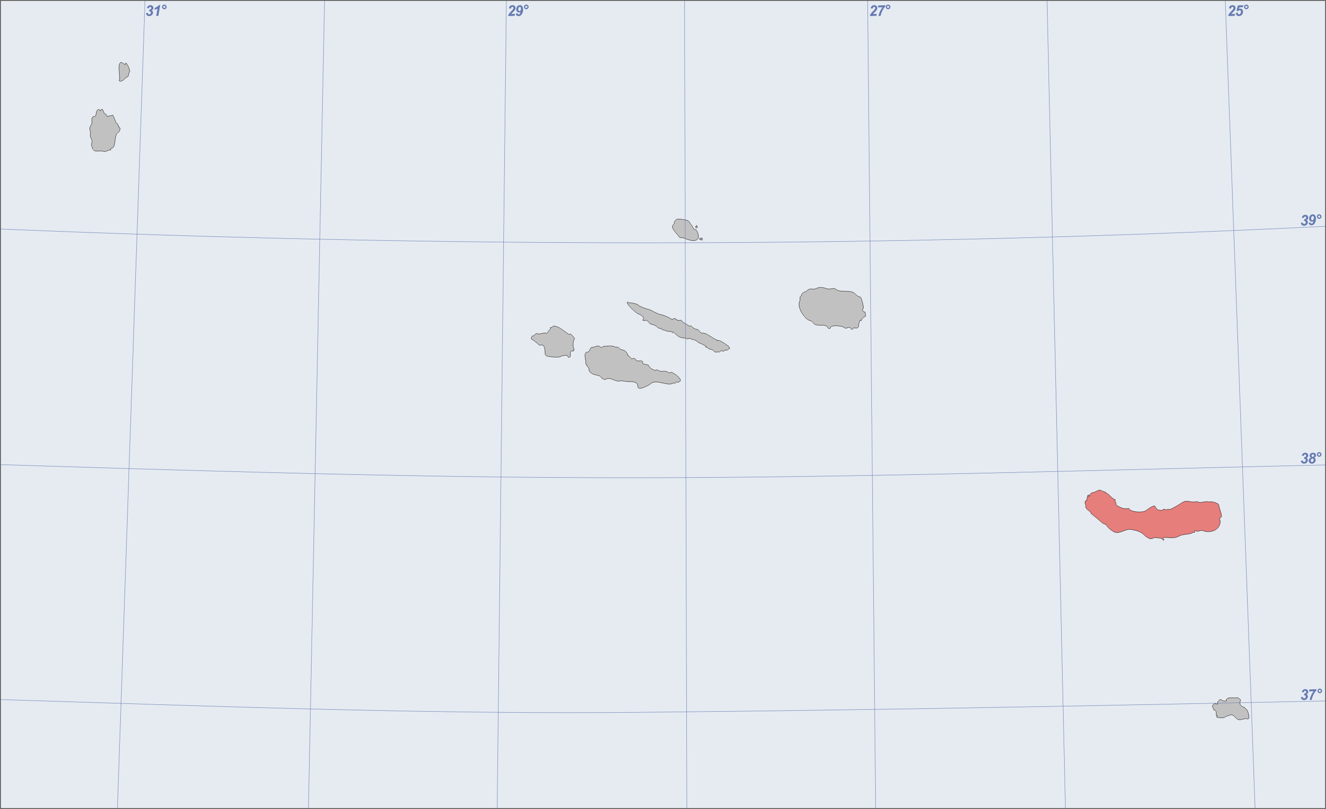
native name =
native name link = Portugal
nickname = The Green Island
location =Atlantic Ocean
coordinates = coord|37|44|13|N|25|41|64|W|
archipelago =Azores Islands
total islands =
major islands =
area = 759 km²
highest mount =Pico da Vara
elevation = 1105 m
country = Portugal
country admin divisions title = Autonomous Region
country admin divisions =Azores Islands
country admin divisions title 1 =
country admin divisions 1 =
country capital city =
country largest city =Ponta Delgada
country largest city population = 64,516
country leader title =
country leader name =
population = 140,000
population as of = 2003
density = 184.5
ethnic groups =
additional info =São Miguel Island (pron. IPA2|sɐ̃ũ mi'gɛɫ; Portuguese for Saint Michael), nicknamed "The Green Island", is the largest and most populous of the
Azores Islands archipelago. The island covers 759 km² (293 sq mi) and has around 140,000 inhabitants (called "Micaelenses"); the largest town isPonta Delgada , with about 45,000 inhabitants.Geography
São Miguel is 64 km from east to west, and between 8 and 14 km wide. Named the "Green (Verde) Island", São Miguel is largely covered with fields and meadows in the lowlands. The ancient "
laurisilva " forest has been mostly replaced by exotic vegetation. Somehot spring s ("caldeiras") appear mostly in the center of the island, which is composed of an old solid mass that stretches from Povoação to Nordeste. São Miguel has 3stratovolcano es and caldeiras,Sete Cidades ,Agua de Pau ,Caldeiras and finallyFurnas . The volcanic masses are connected between the alignments of the cone-like mass that are made up of peaks.The peak area between Sete Cidades and Fogo is a
monogenetic volcanic field composed of 270 volcanoes. They are primarily made up ofbasaltic cones which were formed during Strombolian and Hawaiian-style eruptions. It is the most recently active area of the island. The youngest volcanoes are relatively well dated. It is possible to count 19 eruptions which have occurred 3,000 years ago. One eruption was historical and is known as Fogo 2, it occurred in1652 .The highest elevation on São Miguel is the
Pico da Vara at 1,103m.Cities:
*
Ponta Delgada
*Ribeira Grande Municipalities
*Lagoa
*Nordeste
*Ponta Delgada
*Povoação
*Ribeira Grande
*Vila Franca do Campo History
São Miguel was the second of the Azores islands to have a Portuguese settlement in
1427 .The XV century
It is believed that the island was discovered between 1426 and 1439 being already marked in portolans, in the middle of the fourteenth century, as “Green Island”. The populace began in 1439, when Henry the Navigator, by Carta-Régia (name of the king’s letter that had been written to the authorities or the authority and that its contents had often general and permanent determinations), authorized the fixation of settlers coming from Extremadura, Alto Alentejo, Algarve, and also Madeira. Some foreigners also had settled on the island, notably French people and cultural minorities such as Jews and Moors.
The geographic position and the soil fertility led to a rapid economic development, based on the primary sector, focused on the political military garrisons supply in the north of Africa and in the production of sugar and orchil, a dye exported to Flandres.The XVI century
The first capital of this island was Vila Franca do Campo, which was devastated by a major earthquake in 1522.
After this tragedy, the development of the population of Ponta Delgada had gained impetus, becoming the new capital in 1546. In the context of the crises of succession in 1580, the people from Sao Miguel Island won the Naval Battle of Vila Franca against a French squad that supported the claims of António, Prior of Crato.The XVII century
With the Restoration of Portuguese Independency (1640), the island regained its position as a commercial center, getting new contacts with Brazil, a place where so many settlers were sent.The XVIII century
Some of the island’s historic buildings, including mansions and churches, date from this period. This architectural expansion is justified by profits earned from the production of oranges for exportation, whose main market was Great Britain.The XIX century
In 1831, after the landing of Liberal troops in Nordeste ordered by the future duke of Terceira, the resistance to the Absolutist regime on the Island was organized. In 1832, the Army, after declaring the Constitution and recognizing Maria II of Portugal as their queen, left Ponta Delgada. After the troubled period of the Liberal Wars, the previous economic expansion resumed, the port of Ponta Delgada was built, and also new crops such as tea, pineapple, and tobacco were introduced.The XX century
The development of the fishing industry and the improvement of agricultural products helped to boost the economy until the present day. Currently, the island is one of the most dynamic political-administrative centers and it is in Sao Miguel Island where the headquarters of the government of the Azores is.Gallery
References
*
* [http://www.volcano.si.edu/world/region.cfm?rnum=1802 Global Volcanism Program: Azores]
* The history of Sao Miguel Island was translated by Rita Gouveia(student from Gardner-Webb University) by the Portuguese history version : http://pt.wikipedia.org/wiki/Ilha_de_S%C3%A3o_Miguel
*Nelly Furtado 's parents migranted from the island toCanada .External links
* [http://theazoresislands.blogspot.com/search/label/S%C3%A3o%20Miguel%20Island The Azores Islands - Site with abundant information about São Miguel Island]
Wikimedia Foundation. 2010.