- Nga Son District
-
Nga Sơn District — District — Location of the seat of the district in Vietnam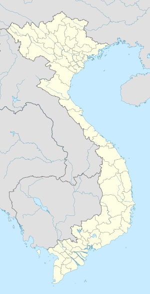
 Nga Sơn District
Coordinates: 19°59′N 105°58′E / 19.983°N 105.967°ECoordinates: 19°59′N 105°58′E / 19.983°N 105.967°E Country  Vietnam
Region North Central Coastal Province Thanh Hoa Province Capital Nga Son Area – Total 58.3 sq mi (151 km2) Population (2003) – Total 148,676 Time zone UTC + 7 (UTC+7) Nga Son (Vietnamese: Nga Sơn) is a district (huyện) of Thanh Hoa Province in the North Central Coastal region of Vietnam.
As of 2003 the district had a population of 148,676.[1] The district covers an area of 151 km². The district capital lies at Nga Son.[1]
The district is located in the northeast province Thanh Hoa and Thanh Hoa city about 42 km, north and east borders Ninh Binh province, the western border with Ha Trung district, south of Hau Loc district borders. Plain terrain, located from Tam Diep mountains at the north to the south, the east borders the sea. The Len river has flowed through the southern district.
The district has a long coastline of 20 km and Nga Son prolonged annual to the sea from 80 to 100 m by inning alluvium of the Red River and Day River.
High school Ba Dinh Nga Son located in Nga Son township. From this school in 1991 agroup of young people have left the own place for seeking a good life via great university.In this district, there are many historical vestiges as Tu Thuc (Từ Thức) grotto, Tien pagoda (Chùa Tiên),Mai An Tiem island where he found water-melon. Many times ago, Nga Son villager has been well known for planting sedge and weaving mat.
References
- ^ a b "Districts of Vietnam". Statoids. http://www.statoids.com/yvn.html. Retrieved March 19, 2009.
 Districts of North Central Coast (Bac Trung Bo)
Thanh Hoa province 
Nghe An province Ha Tinh Province Quang Binh province Quang Tri province Thua Thien-Hue province Categories:- Districts of Thanh Hoa Province
- North Central Coast geography stubs

Wikimedia Foundation. 2010.