- Dong Ha
-
Dong Ha
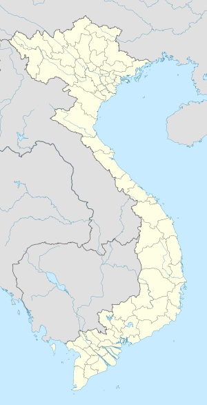
Thành phố Đông HàLocation of in Vietnam Coordinates: 16°49′49″N 107°5′50″E / 16.83028°N 107.09722°E Country  Vietnam
Province Quang Tri Area - Total 72.96 km2 (28.2 sq mi) Population (2005) - Total 82,046 Đông Hà (
 listen) is the capital town of Quang Tri province, Vietnam. It is located at around 16°49′49″N 107°5′50″E / 16.83028°N 107.09722°ECoordinates: 16°49′49″N 107°5′50″E / 16.83028°N 107.09722°E. Dong Ha is situated at the crossroads of National Highway 1A and Route 9, part of the East-West Economic Corridor (EWEC). It lies on the Reunification Express Railway and is served by Dong Ha Railway Station. EWEC is an economic development program which includes Northeast Thailand, Southern Laos, and central Vietnam.
During the Vietnam War, Dong Ha was the northernmost town in South Vietnam and was the location on a strategically important U.S. Marine Combat Base, outposted to provide surveillance of troops movements across the Vietnamese Demilitarized Zone (DMZ). Dong Ha was overrun on March 31, 1972, during the initial assaults of the North Vietnamese Easter Offensive.
Tourists come to Dong Ha nowadays, especially ex-servicemen from the U.S. and Vietnam, who nearly always include a DMZ tour in their programs. The contemporary Vietnamese singer Nhu Quynh was born in Dong Ha in 1970.
 Districts of North Central Coast (Bac Trung Bo)
Thanh Hoa province 
Nghe An province Ha Tinh Province Quang Binh province Quang Tri province Thua Thien-Hue province Categories:- Populated places in Quang Tri Province
- Defunct United States Marine Corps facilities
- District capitals in Vietnam
- Districts of Quang Tri Province
- Dong Ha
- United States Marine Corps in the Vietnam War
- North Central Coast geography stubs
Wikimedia Foundation. 2010.

