- Namur, Quebec
-
Namur 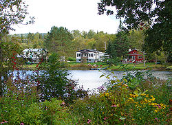
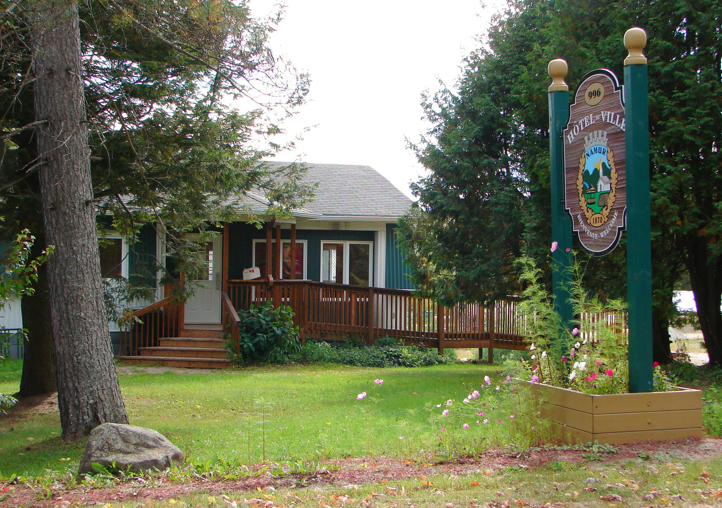
Coordinates: 45°54′N 74°56′W / 45.9°N 74.933°WCoordinates: 45°54′N 74°56′W / 45.9°N 74.933°W Country Canada Province Quebec Region Outaouais Settled 1865 Incorporation January 1, 1964 Government - Type Municipality - Mayor Gilbert Dardel Area[1] - Total 57.07 km2 (22 sq mi) - Land 56.22 km2 (21.7 sq mi) Population (2006)[2] - Total 487 - Density 8.7/km2 (22.5/sq mi) Time zone EST (UTC-5) - Summer (DST) EDT (UTC-4) Postal Code J0V 1N0 Area code(s) 819 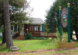 Namur town hall
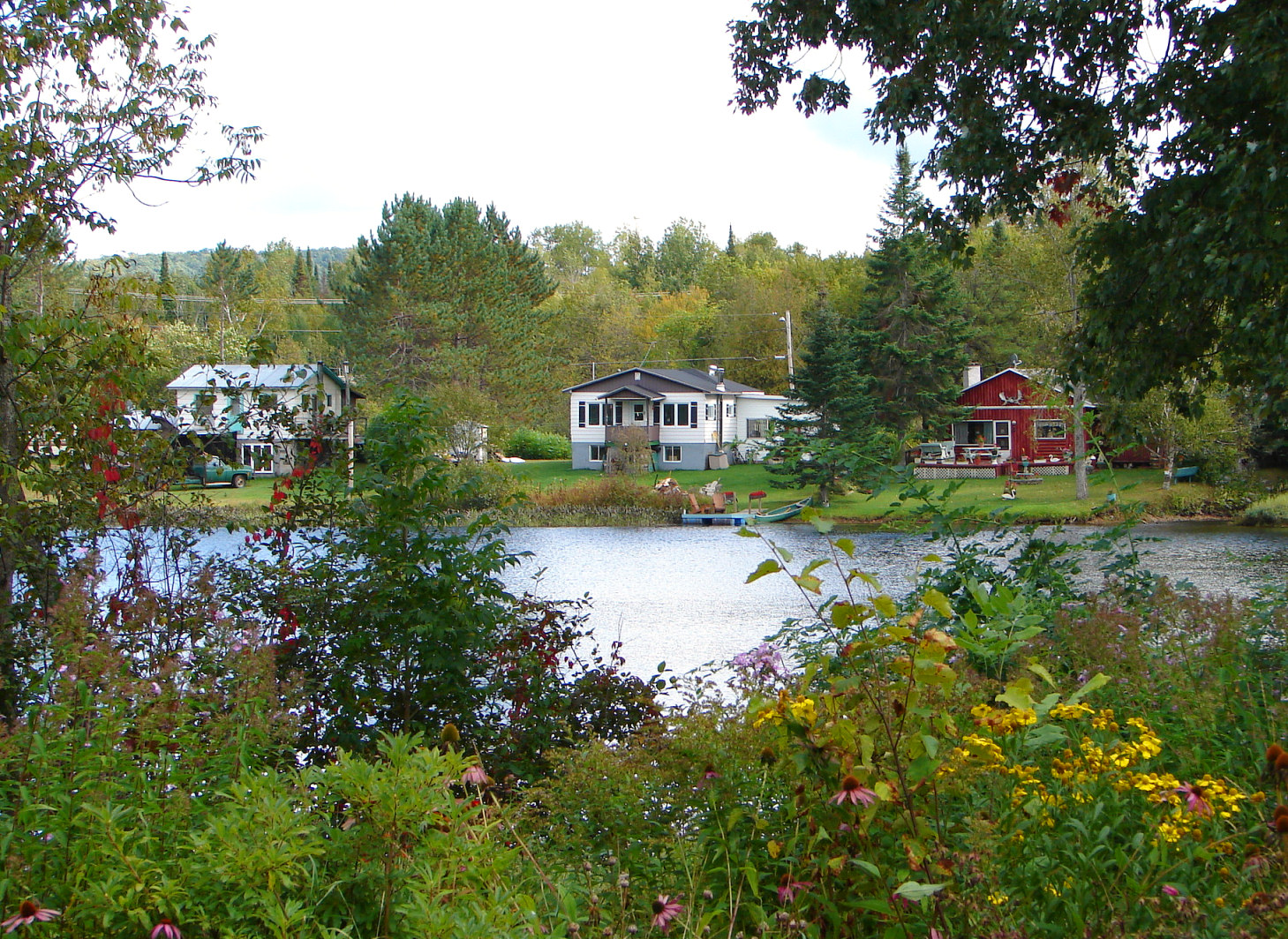
Namur is a town and municipality in the Outaouais region of Quebec, Canada, part of the Papineau Regional County Municipality. It is nicknamed "la Nouvelle Belgique" (New Belgium).[3]
The vast majority of the local population lives of the timber industry, which is marked by the Loggers Summer Festival. Furthermore, the area's excellent fishing and hunting opportunities attract many tourists annually.[3]
Contents
History
The first settlers arrived in the area in 1865, the majority originating from the Belgian Province of Namur and mostly Presbyterian Walloons; their family names were Edain, Frison, Pinon, Roquet, Fluhamann, and Van Vanious. In 1874, the Namur Post Office opened.[3]
From 1886 onward, the area was known as the United Township Municipality of Suffolk-et-Addington. Piece by piece, portions of this united township were detached to form new municipalities: Vinoy in 1920 (since 1996 part of Chénéville), Lac-des-Plages in 1950, and finally Namur in 1964.[3]
Demographics
Population:[4]
- Population in 2006: 487
- Population in 2001: 532
- 2001 to 2006 population change: -8.5 %
- Population in 1996: 543
- Population in 1991: 512
Total private dwellings, excluding seasonal cottages: 202 (total: 259)
Mother tongue
- English as first language: 5.5 %
- French as first language: 89 %
- English and French as first language: 5.5 %
- Other as first language: 0 %
References
- ^ Total area: Ministère des Affaires Municipales et Régions
Land area: Statistics Canada - ^ Statistics Canada 2006 Census
- ^ a b c d "Namur (Municipalité)" (in French). Commission de toponymie du Québec. http://www.toponymie.gouv.qc.ca/ct/topos/carto.asp?Speci=43342&Latitude=45,9&Longitude=-74,93333&Zoom=1700. Retrieved 2009-01-12.
- ^ Statistics Canada: 1996, 2001, 2006 census

Saint-Émile-de-Suffolk Chénéville 
Boileau  Namur
Namur 

Notre-Dame-de-la-Paix Notre-Dame-de-Bonsecours Subdivisions of Papineau Regional County Municipality Cities Municipalities Boileau • Bowman • Chénéville • Duhamel • Fassett • Lac-des-Plages • Lac-Simon • Mayo • Montebello • Montpellier • Mulgrave-et-Derry • Namur • Notre-Dame-de-Bonsecours • Notre-Dame-de-la-Paix • Papineauville • Plaisance • Ripon • Saint-André-Avellin • Saint-Émile-de-Suffolk • Saint-Sixte • Val-des-BoisTownships Other RCMs in Outaouais: Pontiac • Les Collines-de-l'Outaouais • La Vallée-de-la-Gatineau • Gatineau (Independent city) Categories:- Incorporated places in Outaouais
- Municipalities in Quebec
Wikimedia Foundation. 2010.