- Nam Pat District
-
Nam Pat
น้ำปาด— Amphoe — Amphoe location in Uttaradit Province
Coordinates: 17°43′42″N 100°41′4″E / 17.72833°N 100.68444°ECoordinates: 17°43′42″N 100°41′4″E / 17.72833°N 100.68444°E Country  Thailand
Province Uttaradit Seat Saen To Tambon Muban Amphoe established Area - Total 1,448.711 km2 (559.4 sq mi) Population (2005) - Total 30,037 - Density 22.8/km2 (59.1/sq mi) Time zone THA (UTC+7) Postal code 53150 Geocode 5304 Nam Pat (Thai: น้ำปาด; IPA: [náːm pàːt]) is a district (Amphoe) of Uttaradit Province, northern Thailand.
Contents
Geography
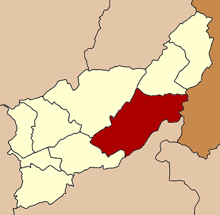
Neighboring districts are (from the south clockwise) Chat Trakan of Phitsanulok Province, and Thong Saen Khan, Tha Pla and Fak Tha of Uttaradit Province. To the east is Xaignabouli of Laos.
The main river of the district is the Pat River.
History
Originally named Saen To as the main tambon, it was renamed to Nam Pat in 1932.[1]
Administration
The district is subdivided into 6 subdistricts (tambon), which are further subdivided into 45 villages (muban). Nam Pat is a township (thesaban tambon), covering parts of the same-named tambon. There are further 6 Tambon administrative organizations (TAO).
No. Name Thai name Villages Inh. 1. Saen To แสนตอ 8 8,656 2. Ban Fai บ้านฝาย 8 7,458 3. Den Lek เด่นเหล็ก 6 4,376 4. Nam Khrai น้ำไคร้ 7 6,065 5. Nam Phai น้ำไผ่ 8 3,878 6. Huai Mun ห้วยมุ่น 8 2,604 References
- ^ "ประกาศกระทรวงมหาดไทย เรื่อง เปลี่ยนนามอำเภอแสนตอ เป็นอำเภอน้ำปาด" (in Thai). Royal Gazette 49 (0 ง): 271. April 24 1932. http://www.ratchakitcha.soc.go.th/DATA/PDF/2475/D/271.PDF.
External links
Mueang Uttaradit · Tron · Tha Pla · Nam Pat · Fak Tha · Ban Khok · Phichai · Laplae · Thong Saen Khan
Categories:- Amphoe of Uttaradit
- Uttaradit Province geography stubs
Wikimedia Foundation. 2010.