- National Highway 544 (India)
-
National Highway 544

544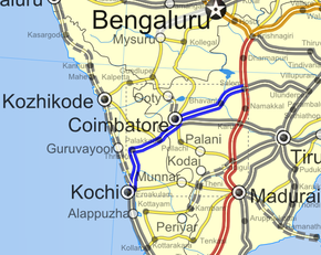
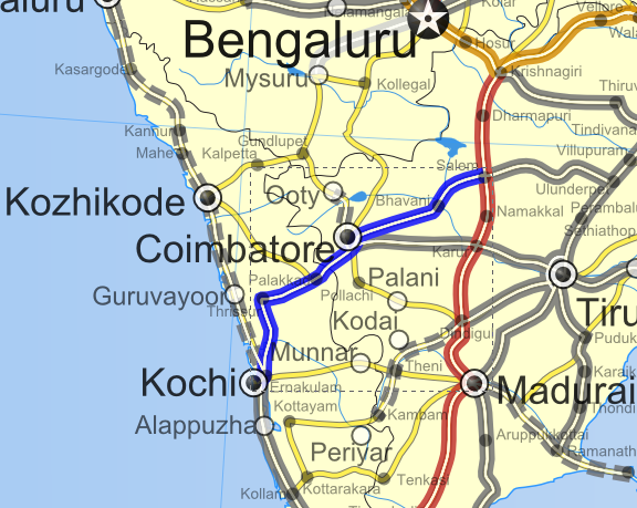
Road map of India with National Highway 544 highlightedRoute information Length: 340 km (210 mi) Major junctions North end: Salem, Tamil Nadu Coimbatore (NH 67) South end: Kochi, Kerala Location States: Kerala: 146 km (91 mi)
Tamil Nadu: 194 km (121 mi)Primary
destinations:Salem - Coimbatore - Palakkad - Thrissur - Kochi Highway system Indian Road Network
National • Expressways • State
State Highways in ¬National Highway 544, commonly referred to as NH 544, is a 340 km (210 mi) long highway connecting the city of Salem to Kochi city in southern India. The highway runs through the states of Kerala and Tamil Nadu, connecting various important cities and towns such as Salem, Coimbatore, Palakkad, Thrissur and Kochi. It is a spur of National Highway 44, which forms the North South Corridor of the National Highway network of India. It was formerly designated National Highway 47.[1]
The highway is currently undergoing conversion to 4 lane, with some sections 6 lane.[2][3] At the end of 2010, 40% of this stretch is 4 laned, and 35% under implementation.
Contents
Cities & Towns connected
Salem, (Erode Bypass), (Coimbatore Bypass), (Palakkad Bypass), (Thrissur Bypass),[4]
Road Improvement
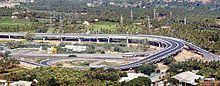 Salem ByPass NH 544 trumpet Grade interchange
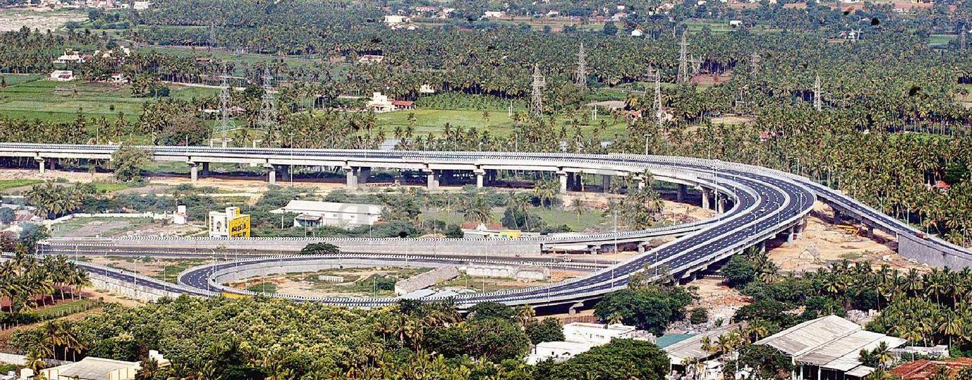
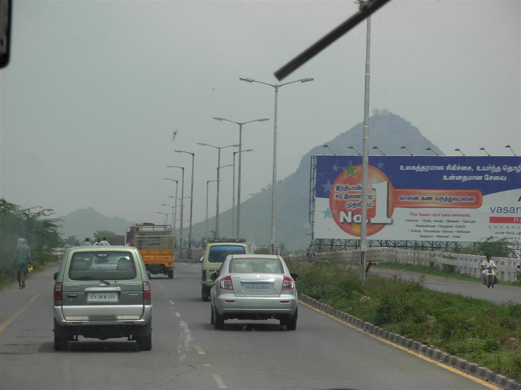
 NH-544 Coimbatore-Salem stretch of North-South Corridor
The stretch from Thrissur to Kochi city has been widened to multiple lanes with six-lanes in many stretches. The road widening has started at the Salem End of the Highway and the 4 lane work has been completed in the Salem-Chengapalli (Km 0 to 100) stretch and there is a new bridge built on the Cauvery river at Bhavani Kooduthurai. Widening to six lanes is in progress between Perumanallur and Coimbatore City). Also, widening is in progress from Thrissur to Walayar (Kerala- Tamil Nadu Border, Palakkad District, Kerala). Of this, the stretch from Mannuthy in Thrissur to Wadakkanchery in Palakkad District (30 km) would facilitate six-lane traffic while the 58 km segment from Wadakkanchery to Walayar would be four-lane. The widening of Chengapalli-Walayar stretch is in process,Of this, the first stretch from Chengapalli to Nilambur (42.705 km), where it would touch the already widened Coimbatore bypass, would facilitate six-lane traffic while the 12 km segment from Madukkarai to Walayar would be four-lane. Six laning from Chengapalli starts from Coimbatore Bypass section and Four lane from Madukarai on end of Coimbatore Bypass to Tamil nadu/Kerala Border up to Walayar section in the State of Tamil Nadu.
See also
References
- ^ "Rationalization of Numbering Systems of National Highways". Govt of India. 28 April 2010. http://www.morth.nic.in/writereaddata/sublinkimages/finaldoc6143316640.pdf. Retrieved 21 Aug 2011.
- ^ "NS&EW Corridor Map". National Highway Authority of India. http://www.nhai.org/images/Nov10/NSEW%20%20%20Eng%20.jpg. Retrieved 2011-02-10.
- ^ "NS&EW Corridor Chainage Chart". National Highway Authority of India. http://www.nhai.org/chain_NS.asp. Retrieved 2011-02-10.
- ^ National Highway No. 47 Route: Maps of India
Categories:- National Highways in Kerala
- National Highways in Tamil Nadu

Wikimedia Foundation. 2010.