Murray Darling Depression

Murray Darling Depression
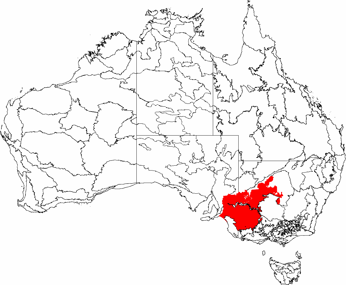
The IBRA regions, with Murray Darling Depression in red

The Murray Darling Depression , also known as the Murray-Darling woodlands and mallee, is a biogeographic region and an ecoregion in southeastern Australia consisting of a wooded plain through which flow two of Australia's biggest rivers, the Murray and the Darling.

Contents

Location and description

The plains have a dry Mediterranean climate with more rainfall (400mm per year) in the south than in the drier north (250mm). Fires are common in the hot dry summers. [1]

Flora

The original vegetation of the basin was mallee eucalyptus woodlands with thicker Black Box (Eucalyptus largiflorens) and River Red Gum (Eucalyptus camaldulensis) woodland on riverbanks but most has been cleared for wheat farming and pasture. The flora of the plain need to be adapted to renew itself after the summer droughts and accompanying fires.

Fauna

Wildlife of the area includes large numbers of lizards, ants, and Honeyeater birds (especially of the Lichenostomus and Meliphaga genera). Lizards include species of Skink (especially of Ctenotus, Egernia, and Lerista genera). Ants include species of Iridomyrmex, Carpenter ants, and Melophorus. Endangered species include the Black-eared Miner bird (Manorina melanotis) and the Malleefowl (Leipoa ocellata).

Threats and preservation

Although much of the plain has been cleared this is now carefully controlled and areas of protected natural vegetation remain, especially in the large Ngarkat Conservation Park - Big Desert Wilderness Park on the South Australia-Victoria border. Threats to habitats today come from introduced weeds, over-salination of rivers as water is drawn off for irrigation, over-use of fire to remove dry shrubs and prevent forest fires and overgrazing by introduced goats and rabbits.

References


Wikimedia Foundation. 2010.

Игры ⚽ Поможем написать реферат

Look at other dictionaries:

  • Darling River — Coordinates: 34°6′47″S 141°54′43″E / 34.11306°S 141.91194°E / 34.11306; 141.91194 …   Wikipedia

  • David Murray Anderson — For other people named David Anderson, see David Anderson (disambiguation). Admiral Sir David Anderson KCB, KCMG, MVO 28th Governor of New South Wales …   Wikipedia

  • Interim Biogeographic Regionalisation for Australia — The Interim Biogeographic Regionalisation for Australia (IBRA) is a biogeographic regionalisation of Australia developed by the Australian Government s Department of the Environment and Heritage. It was developed for use as a planning tool, for… …   Wikipedia

  • Interim Biogeographic Regionalisation For Australia — Pour les articles homonymes, voir Intérim. L Interim Biogeographic Regionalisation for Australia, ou IBRA, est un plan de découpage du continent australien en régions biogéographiques créé par le « Ministère de l environnement et de l… …   Wikipédia en Français

  • Interim Biogeographic Regionalisation for Australia — 20°18′28″S 147°58′05″E / 20.30778, 147.96806 …   Wikipédia en Français

  • Interim biogeographic regionalisation for australia — Pour les articles homonymes, voir Intérim. L Interim Biogeographic Regionalisation for Australia, ou IBRA, est un plan de découpage du continent australien en régions biogéographiques créé par le « Ministère de l environnement et de l… …   Wikipédia en Français

  • Anexo:Interim Biogeographic Regionalisation for Australia — Interim Biogeographic Regionalisation for Australia (IBRA) es una regionalización biogeográfica de Australia desarrollado por el Gobierno de Australia, departamento de Medio Ambiente, Agua, patrimonio y las artes. Ha sido desarrollado para su uso …   Wikipedia Español

  • Interim Biogeographic Regionalisation for Australia — Die Interim Biogeographic Regionalisation for Australia (übersetzt die Vorläufige biogeographische Regionalisierung Australiens, abgekürzt IBRA) ist eine biogeographische Einteilung Australiens, die von der australischen Regierungsbehörde… …   Deutsch Wikipedia

  • Drovers Cave National Park — IUCN Category II (National Park) …   Wikipedia

  • Scotia Sanctuary — is a 650 km2 nature reserve in the south western plains of New South Wales, Australia, adjacent to the border with South Australia. It is located in the Murray Mallee subregion of the Murray Darling Depression Bioregion, 150 km south of the city… …   Wikipedia

Share the article and excerpts

Direct link
Do a right-click on the link above
and select “Copy Link”