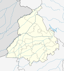
- Mullanpur, Ludhiana
-
Mullanpur — city — Coordinates 30°50′N 75°40′E / 30.84°N 75.67°ECoordinates: 30°50′N 75°40′E / 30.84°N 75.67°E Country India State Punjab District(s) Ludhiana Nearest city Ludhiana Parliamentary constituency Ludhiana Time zone IST (UTC+05:30) [Sometimes called Mandi Mullanpur , or Mullanpur]
Location : Ludhiana, Punjab, India
Website: www.mullanpur.com and www.mandimullanpur.com
A town located 18 km from Ludhiana on the Grand Trunk Road to Jagraon. Postal Code is 141101 and telephone area code is 0161 [same as Ludhiana]. Most of the people living here are farmers and businessmen.There are two sections of Mullanpur one is village Mullanpur and second is town known as Mandi Mullanpur.The village of Mullanpur is connected to the town of Mandi-Mullanpur via two link roads. On one road there is a Gurdwara, a Sikh Temple, Gurudwara maskiana sahib, having historical significance. On the other road there are houses of families who have lived there since Independence [Circa 1950]. Near town of Mullanpur there are many towns like Jangpur, Raqba, Pandori, etc.
Mullanpur Garibdas
Location : Punjab, India
A small village located 10 km from Chandigarh, Capital city of Punjab [India].
Mullanpur
Also known as Chak Number 52
Categories:- Ludhiana
- Villages in Ludhiana district
- Punjab (India) geography stubs
Wikimedia Foundation. 2010.


