- Mount Teshio
-
Mount Teshio 天塩岳 
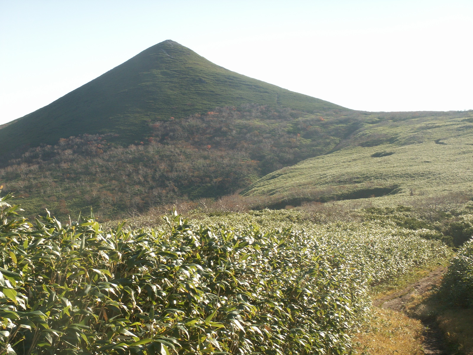
Mount Teshio (October 2007)Elevation 1,557.6 m (5,110 ft) Listing List of mountains and hills of Japan by height Location Location On the border of Shibetsu and Takinoue, Hokkaidō, Japan Range Kitami Mountains Coordinates 43°57′52″N 142°53′17″E / 43.96444°N 142.88806°E Topo map Geographical Survey Institute 25000:1 天塩岳
25000:1 宇江内山
50000:1 旭川Geology Type volcanic Age of rock Middle Miocene–Late Miocene Volcanic arc/belt Kurile Arc Climbing Easiest route Hike New Trail (新道コース Shindō Course) Mount Teshio (天塩岳 Teshio-dake) is the tallest mountain in the Kitami Mountains. It is located on the border of Shibetsu and Takinoue, Hokkaidō, Japan. It is the source of the Teshio River.
Contents
History
On January 6, 1978, Mount Teshio and the surrounding region was designated the Mount Teshio Prefectural Natural Park (天塩岳道立自然公園 Teshio-dake Dōritsu Shizenkōen).[1]
Geology
Mount Teshio is made from felsic non-alkali rock from 15 to 7 million years old.[2]
Flora and fauna
At the base of the mountain there are abundant Black Woodpeckers as well as Japanese Red Foxes and Hokkaidō Brown Bears. Near the summit, Pika can be found.[1]
Prominent alpine plants are Rhododendron aureum Georgi and Diapensia.[1]
Climbing routes
There are three climbing routes up the mountain.
- New Trail (新道コース) is 5.4 kilometres (3.4 mi) and 3.5 hours to the top.
- Mount Mae Teshio Trail (前天塩コース) is 9.1 kilometres (5.7 mi) and a 4 hour climb over Mount Mae Teshio.
- Historic Trail (旧道(沢)コース) starts on the Mount Mae Teshio trail and branches off. It is 4 kilometres (2.5 mi) and 3.5 hours to the top. This trail is only for experienced climbers.
There is a connecting path between the new trail and the other two trails.[1]
External links
- Mount Teshio Prefectural Natural Park Trail Map, Official Hokkaido website.
References
- ^ a b c d "天塩岳道立自然公園" (in Japanese). HOKKAIDO Government. 2006. http://www.pref.hokkaido.lg.jp/ks/skn/environ/parks/teshiodake.htm. Retrieved 2009-04-06.
- ^ "Hokkaido". Seamless digital geological map of Japan. Geological Survey of Japan, AIST. 2007. http://riodb02.ibase.aist.go.jp/db084/kihon/hokkaido_e.xml. Retrieved 2010-10-15.
Categories:- Mountains of Hokkaidō
Wikimedia Foundation. 2010.