- Tatamailau
-
Tatamailau 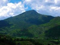
Elevation 2,963 m (9,721 ft) Prominence 2,963 m (9,721 ft) Listing Country high point
Ultra
Spesial RibuLocation Ainaro District,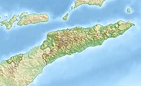
 Tatamailau
 East Timor
Coordinates 8°54′23″S 125°29′35″E / 8.90639°S 125.49306°ECoordinates: 8°54′23″S 125°29′35″E / 8.90639°S 125.49306°E Climbing Easiest route Hike Tatamailau (Tetum: Foho Tatamailau), sometimes referred as Mount Ramelau, is the highest mountain in East Timor and also of Timor island at 2,963 m (9,721 ft). The mountain is located approximately 70 km (43 mi) of the capital Dili in the district of Ainaro. In Portuguese colonial days it was considered the highest mountain of Portugal, and indeed of the whole Portuguese colonial empire, since the highest mountain of Portugal is of a more modest height. The name "Tatamailau" is Mambai-origin, the local language and means "Grandfather of all". "Ramelau" is the name of the massif of the mountain. The Tatamailau is dedicated to the Virgin Mary and the subject of an annual pilgrimage commemorating the Annunciation of the Blessed Virgin Mary, on or around March 25. There is a three meter high statue of the Virgin Mary on the peak, which came from Italy and was erected during the Indonesian rule in 1997.
Tatamailau can be climbed from the town of Hato Bulico 3 km (1.9 mi) to the northeast or from the village of Aimeta 6 km (3.7 mi) to the north; there is about 910 m (2,990 ft) of climbing from either. The track from Hato Bulico to the summit is very well formed having originally been cut to create a pilgrimage trail to the Virgin Mary figure on the summit and was once negotiable by four wheel drive vehicle. A map is not required once on the track. The track is now very severely degraded with massive washouts requiring major detours to negotiate. Because the track was cut for vehicular access the constant gradient is monotonous, the poor engineering has caused major environmental damage and the route affords few views of note. The route from Aimeta is via a network of goat herders' tracks, it does not appear on current maps and a local guide is needed. However, the Aimeta track is varied, traverses unspoilt country, is extremely interesting with many unfolding mountain views and consequently presents by far the most enjoyable climb. A fit person should allow four hours from Hato Bulico to the summit, six hours from Aimeta, nine hours from Aimeta to Hato Bulico. Assume no water is available en route. There is no human habitation above Hato Bulico or Aimeta. It is possible to camp on the saddle below the summit in the dry season and experience the sunset and sunrise from the same location. The summit can freeze in the dry season; in the wet season the summit can be sufficiently cold, wet and windy to pose a risk of hypothermia.
Hato Bulico is a 1½ - 2 hour drive from Maubisse on a sealed road but requires a four wheel drive. In the wet season it can be dangerous and periodically impassable but never for long. There is an excellent resting place at Hato Bulico close to the start of the track.
Aimeta can be reached from Letefoho in about 1½ hours. Shelter, but not food, may be negotiated at Aimeta with local assistance but it is advisable to arrive entirely self sufficient. The nearest accommodation is at the Saint Bakhita, Eraulo, via Vila Ermera and an excellent, easy walk is to be had from there to Aimeta in about four hours. Horses for baggage can be hired at Aimeta and this is useful if camping on the summit or to assist stragglers. Aimeta can be a logistical challenge, which is why almost all summit bids are launched from Hato Bulico but it is possible, with care, for supporting transport to drive from Aimeta directly to Hato Bulico if the road is navigable otherwise, in the Wet season, via Gleno and Aileu in about five hours. An ideal route is to do the summit from Aimeta to Hato Bulico taking in both sides of the mountain; local assistance is essential for those without fluent Tetum and local knowledge.
-

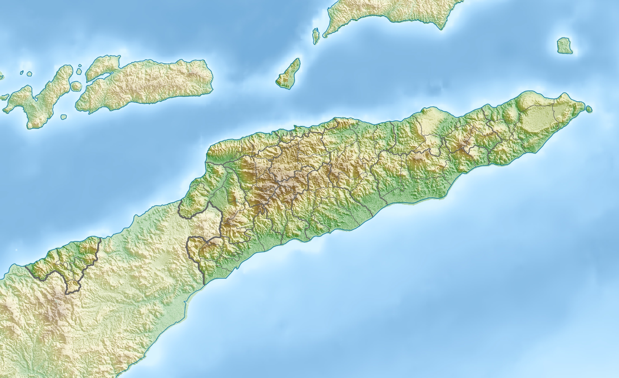
Location
-
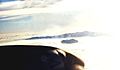
View from a plane
Categories:- Two-thousanders
- Hiking in East Timor
- Mountains of East Timor
-


Wikimedia Foundation. 2010.