- Morro da Boa Vista
-
Morro da Boa Vista Santa Catarina,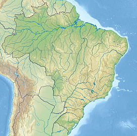
 Morro da Boa Vista
 Brazil
Elevation 1,827 m (5,994 ft) [1] Listing Brazilian state high point Location Range Serra Geral Coordinates 27°54′31″S 49°19′16″W / 27.90861°S 49.32111°WCoordinates: 27°54′31″S 49°19′16″W / 27.90861°S 49.32111°W Morro da Boa Vista (Portuguese pronunciation: [ˈmoʁu dɐ ˈboɐ ˈvistɐ]) is the highest mountain in the Brazilian state of Santa Catarina, the highest at Serra Geral and the third highest in Southern Brazil, after Pico Paraná and Pico Caratuva, at 1,827 metres (5,994 ft)[1]. The peak can get quite cold during winter, with the possibility of snowfall.
See also
References
- ^ a b "Morro da Boa Vista". Peakbagger.com. http://www.peakbagger.com/peak.aspx?pid=8781. Retrieved 2009-02-04.
Highest Points of Brazilian states Acre • Alagoas • Amapá • Amazonas • Bahia • Ceará • Distrito Federal • Espírito Santo • Goiás • Maranhão • Mato Grosso • Mato Grosso do Sul • Minas Gerais • Pará • Paraíba • Paraná • Pernambuco • Piauí • Rio de Janeiro • Rio Grande do Norte • Rio Grande do Sul • Rondônia • Roraima • Santa Catarina • São Paulo • Sergipe • Tocantins
Categories:- Highest points of Brazilian states
- Mountains of Brazil
- Santa Catarina (state)
- Santa Catarina geography stubs
Wikimedia Foundation. 2010.