- Montmorency River
-
Montmorency River Rivière Montmorency  Mouth of the Montmorency River
Country Canada Province Quebec Region Capitale-Nationale Source Montmorency Lake - location Lac-Jacques-Cartier Unorg. Terr. - elevation 907 m (2,976 ft) - coordinates 47°34′35″N 71°06′05″W / 47.57639°N 71.10139°W Mouth Saint Lawrence River - location Boischatel - elevation 31 m (102 ft) - coordinates 46°53′06″N 71°08′36″W / 46.885°N 71.14333°W Length 101 km (63 mi) Basin 1,150 km2 (444 sq mi) Discharge - average 35.6 m3/s (1,257 cu ft/s) - max 580 m3/s (20,483 cu ft/s) May - min 2.2 m3/s (78 cu ft/s) March The Montmorency River is a river in the Capitale-Nationale region of Quebec, Canada. It drains into the Saint Lawrence River, about 9 kilometres (5.6 mi) downstream from Quebec City. It is especially known for the impressive Montmorency Falls near its mouth.
It has an average flow of 35.6 m³/s. Typical average summer flow is about 25 m³/s, whereas during spring run-off, the river could swell anywhere from 130 to 650 m³/s. Above 770 m³/s is considered an exceptional flood condition, and the Montmorency experienced a record flow of 1100 m³/s in November 1966.[1]
Contents
Geography
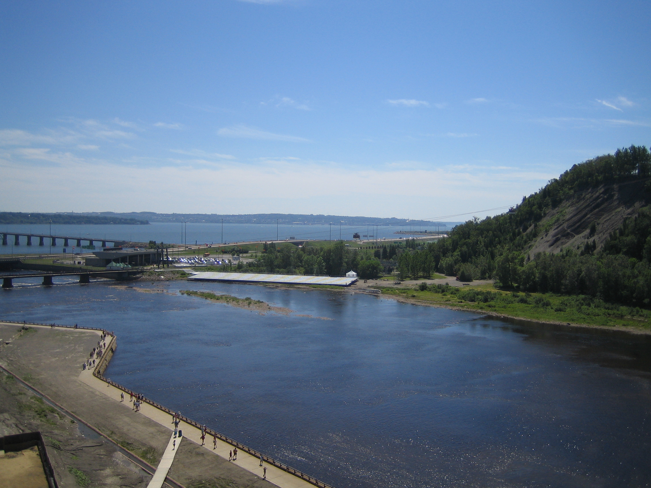
The Montmorency River flows from Lake Montmorency in a southerly direction through the undeveloped Canadian Shield of the Laurentides Wildlife Reserve. Reaching the northern part of the municipality of Château-Richer, it flows between high rocky cliffs that in some places are more than 600 metres (2,000 ft) high. Thereafter, it passes through the municipalities of Sainte-Brigitte-de-Laval, Beauport, and Boischatel, where the course of the river is characterized by the presence of numerous rapids before plunging 83 metres (272 ft) over the Montmorency Falls.[2]
The river's watershed basin is sparsely populated, 92% of it is forested and dotted with 424 lakes. The largest lake, with an area of 7.53 square kilometres (2.91 sq mi), is Snow Lake (Lac des Neiges) which is the source of Neiges River, Montmorency's largest tributary. Urban and agricultural land makes up only 2% and 1% of the basin respectively, and is mostly confined to a small section in the far south of the Saint Lawrence lowlands.[1][3]
The municipalities and unorganized territories that cover the Montmorency basin are:[1]
Municipality Area within basin (km²) Proportion of basin (%) Population within basin Proportion of basin (%) Boischatel 16.96 1.47 3508 12.47 Chateau-Richer 108.33 9.42 1541 5.06 L'Ange-Gardien 28.31 2.46 1574 5.17 Lac-Beauport 6.43 0.56 583 1.91 Lac-Jacques-Cartier 822.09 71.50 0 0 Lac-Pikauba 2.46 0.21 0 0 Quebec City 22.16 1.93 19,213 63.07 Sainte-Brigitte-de-Laval 110.59 9.62 3492 11.46 Stoneham-et-Tewkesbury 32.44 2.82 262 0.85 Totals 1149.77 100 30,173 100 Tributaries
The larger tributaries of the Montmorency River are (downstream default sorting order):[1]
Name Length
(km)Size of sub-basin
(km²)Left or right
tributaryNoire 24.5 68.3 Left des Neiges 36.6 372.8 Left de la Décharge/Smith 15.5 63.9 Left de l'Île 11.0 81.8 Right aux Pins -- -- Right Ferrée 16.8 -- Left History
In 1608, Samuel de Champlain visited the falls at the mouth of the river and named it le grand saut de Montmorency ("the great falls of Montmorency") in honour of Charles de Montmorency (1537-1612), to whom Champlain had dedicated his explorations. The name of the falls came to be applied to the whole river, as the 1641 map by Jean Bourdon showed it as "Saut de Montmorency".[2]
French colonization along the Montmorency River initially occurred at the mouth and falls only. The town of Boischatel was settled circa 1664.
In 1759, the Montmorency River formed a major obstacle to English General James Wolfe that prevented him from invading Quebec City from the east and subsequently forced him to scale the cliffs west of the city and battle the French on the Plains of Abraham. Remnants of an earthen fort built by Wolfe can still be found on the east side of the falls.[1]
In the 19th century, colonization and logging of the interior really took off, and settlers came to the Sainte-Brigitte-de-Laval area in 1830. The river was used for log driving and its shores became industrialized when a hydro-electric dam and sawmill were built at the top and foot of the Montmorency Falls respectively. After the logging period ended, textile industry developed at the mouth of the river.[1]
In 1992, the area surrounding the falls and mouth of the river was made into a park and developed for tourism with new viewing platforms, stairs, pedestrian bridge, aerial tram, restaurant, and visitor's centre.
Development and use
 Montmorency Falls
There are 48 dams in all on the Montmorency River and its tributaries. Of these, 14 are used to regulate water flow, five to provide drinking water, and only one is used exclusively for hydro-electric power generation.[3] The Hydro-Québec power station at the Montmorency Falls is no longer in operation, but not far upstream is the Marches-Naturelles Hydro-electric Power Station. It has an installed capacity of 4.16 MW.[1]
All municipalities along its course rely on the Montmorency or tributaries for its drinking water supply. Only Sainte-Brigitte-de-Laval treats its waste waters before pumping it back into the Montmorency. Boischatel and Beauport put their waste water into the Saint Lawrence River. The municipalities of L’Ange-Gardien, Château-Richer, Lac-Beauport, Stoneham-et-Tewkesbury do not impact the water quality of the Montmorency since their population centres lie outside the rivers basin, and therefore the water quality is very good.[3]
A total of 76 bridges cross the Montmorency River. Of these, only 3 are public road bridges: Quebec Route 40, Avenue Royale between Beauport and Boischatel, and one at Enchanteresse Island.[1]
Fauna
The 4 most dominant fish species within the Montmorency basin are the rainbow trout, lake trout, Arctic char, and especially brook trout. Other species include the Longnose Sucker, White Sucker, Slimy sculpin, and Pearl dace.[1]
There are 2 species of reptiles: Common Garter Snake and Redbelly Snake. Also there are 8 species of amphibians: American toad, Wood Frog, Green frog, Spring Peeper, Red Back Salamander, Dusky Salamander, Northern two-lined salamander, and Eastern newt.[1]
References
- ^ a b c d e f g h i j "Le Portrait de Bassin Versant" (in French). Plan Directeur de l'Eau 2005. Conseil de Bassin de la Rivière Montmorency. http://pde.rivieremontmorency.com/101.htm. Retrieved 2010-05-27.
- ^ a b "Rivière Montmorency" (in French). Commission de toponymie du Québec. http://www.toponymie.gouv.qc.ca/CT/toposweb/fiche.aspx?no_seq=42141. Retrieved 2010-04-20.
- ^ a b c HÉBERT, S., 2007. État de l’écosystème aquatique du bassin versant de la rivière Montmorency : faits saillants 2004-2006, Québec Ministère du Développement durable, de l’Environnement et des Parcs, Direction du suivi de l’état de l’environnement, ISBN 978-2-550-51290-5
External links
Categories:- Rivers of Quebec
- Capitale-Nationale

Wikimedia Foundation. 2010.