- Mission Creek (Marion County, Oregon)
-
Mission Creek 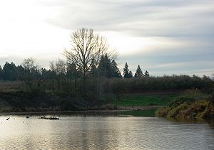 Creek at St. Paul
Country United States State Oregon County Marion County Source French Prairie - location near St. Paul - elevation 175 ft (53 m) [1] - coordinates 45°10′16″N 122°59′33″W / 45.17111°N 122.9925°W [2] Mouth Champoeg Creek - location near Champoeg - elevation 72 ft (22 m) [2] - coordinates 45°14′51″N 122°52′57″W / 45.2475°N 122.8825°W [2] Length 9 mi (14 km) [3] 
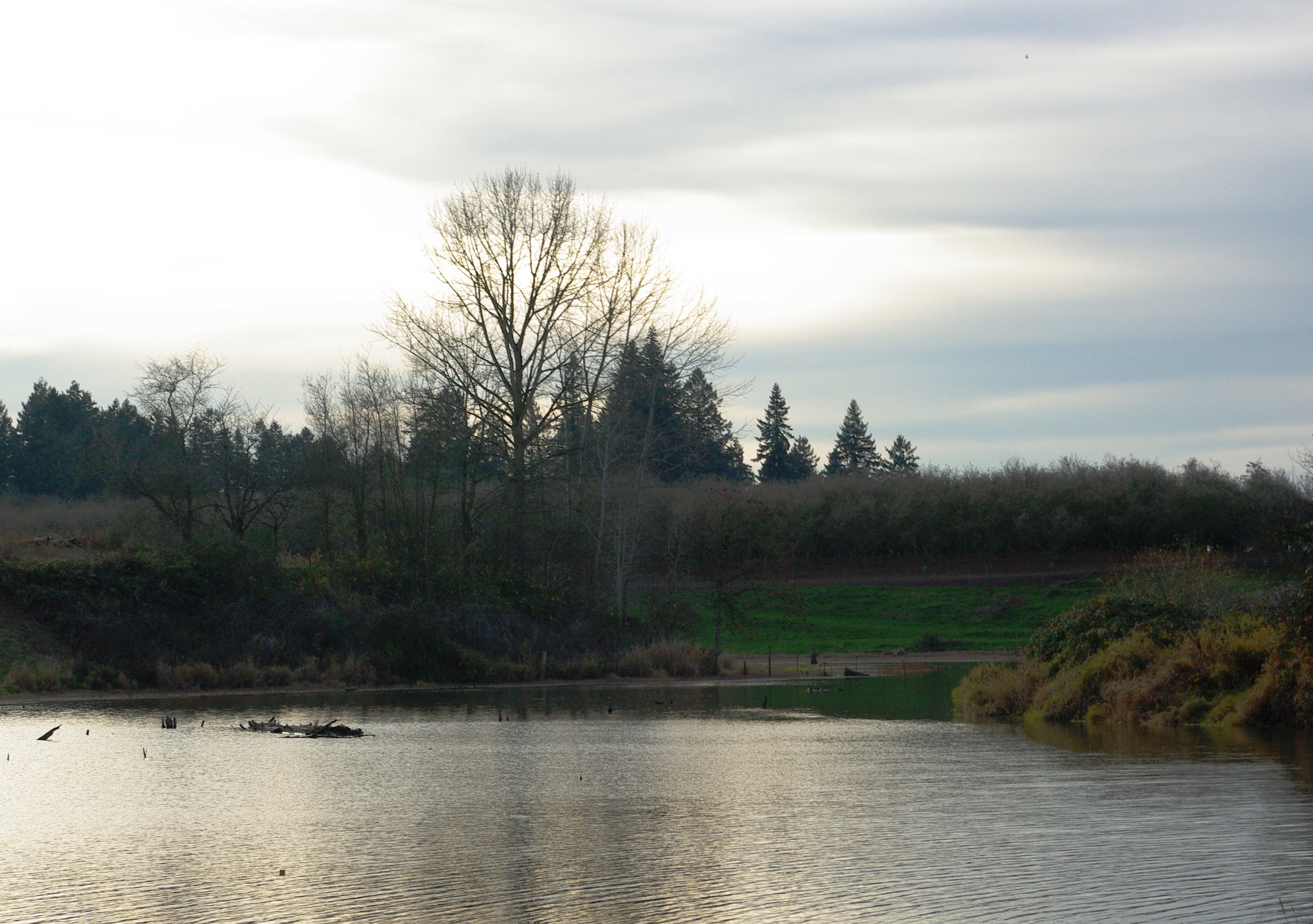
 Location of the mouth of Mission Creek in Oregon
Mission Creek is a tributary, roughly 9 miles (14 km) long, of Champoeg Creek in Marion County in the U.S. state of Oregon. The creek arises southwest of St. Paul in the French Prairie region of the Willamette Valley and flows generally northeast to meet Champoeg Creek near Champoeg. The combined streams then flow less than 1 mile (1.6 km) before entering the Willamette River, 45 miles (72 km) from its confluence with the Columbia River.[3][4]
Course
From its source on French Prairie southwest of St. Paul, the creek flows northeast, passing under River Road Northeast and then under Oregon Route 219 just east of St. Paul. After entering and exiting Mission Creek Reservoir, it passes under Buyserie Road and enters Zorn Pond. Exiting the pond, it flows under McKay Road, then through the ghost town of Champoeg and under Champoeg Road. It joins Champoeg Creek in the Champoeg State Heritage Area, a short distance from the larger creek's confluence with the Willamette River. Champoeg's Creek's mouth is at river mile (RM) 45 or river kilometer (RK) 72 of the Willamette, a tributary of the Columbia River. Mission Creek has no named tributaries.[3][4]
See also
References
- ^ Source elevation derived from Google Earth search using GNIS source coordinates.
- ^ a b c "Mission Creek". Geographic Names Information System (GNIS). United States Geological Survey. November 28, 1980. http://geonames.usgs.gov/pls/gnispublic/f?p=gnispq:3:::NO::P3_FID:1163152. Retrieved November 24, 2009.
- ^ a b c DeLorme Mapping. Oregon Atlas and Gazetteer (Map) (2008 ed.). Section 28. ISBN 978-0-89933-347-2.
- ^ a b United States Geological Survey. "United States Geological Survey Topographic Map: St. Paul quadrant". TopoQuest. http://www.topoquest.com/map.php?lat=45.24487&lon=-122.88816&datum=nad83&zoom=4&map=auto&coord=d&mode=zoomin&size=m. Retrieved November 25, 2009.
Categories:- Streams of Oregon
- Landforms of Marion County, Oregon

Wikimedia Foundation. 2010.