- Milton Keynes Museum
-
Milton Keynes Museum is an independent local museum in the parish of Wolverton and Greenleys in Milton Keynes, England.[2] It is mostly run by volunteers with a small number of paid staff.
The museum is housed in a former Victorian farmstead. It covers the history of the Milton Keynes area, including northern Buckinghamshire and southern Northamptonshire, from the year 1800 onwards. It includes the Stacey Hill Collection of rural life, consisting of agricultural, domestic, industrial, and social objects connected to the area before the 1967 foundation of Milton Keynes.
There is also a collection of many memorabilia of the nearby Wolverton railway works.
The museum's Connected Earth collection includes a variety of historic telephones and switchboards, many still in working order.[3] The museum also has some historic Post Office and British Telecom vehicles. The largest of these is the Road Phone, an enormous working telephone used for promotional purposes.
The museum was previously called the Stacey Hill Museum.[4]
See also
References
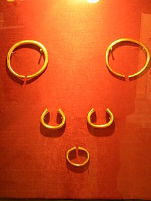
- ^ British Museum: the Milton Keynes Hoard (now in collection of the British Museum).
- ^ Milton Keynes Museum, Culture 24.
- ^ Milton Keynes Museum, Connected Earth.
- ^ Milton Keynes Museum Trust, Qype, UK.
External links
Categories:- Museums in Buckinghamshire
- Buildings and structures in Milton Keynes
- Farm museums in England
- Rural history museums in England
- Local museums in Buckinghamshire
- Telecommunications museums in the United Kingdom
- Technology museums in the United Kingdom
- Railway museums in England
- Buckinghamshire building and structure stubs
- United Kingdom museum stubs

Wikimedia Foundation. 2010.