- Marker 32 (reef)
-
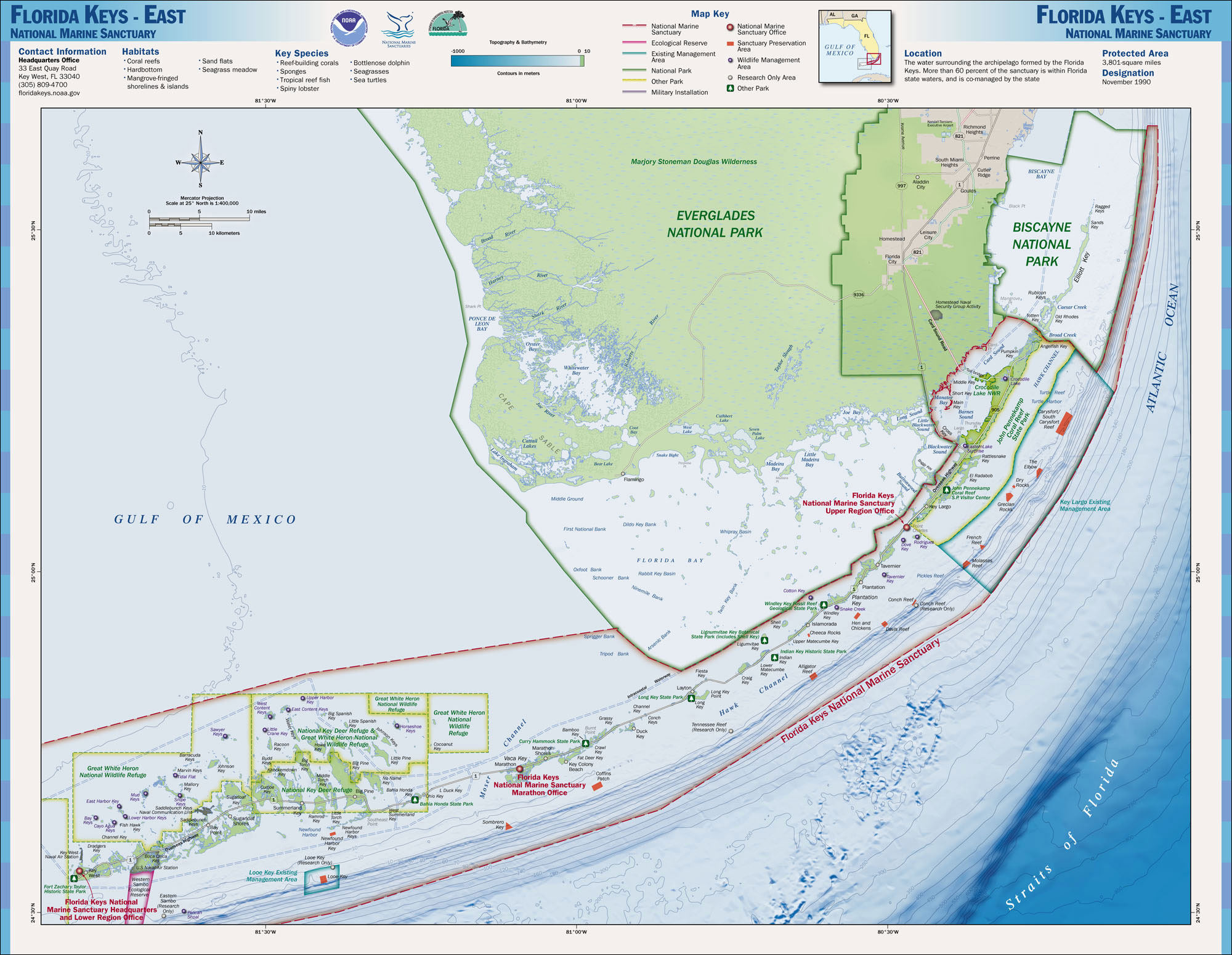
Marker 32 is a coral reef located within the Florida Keys National Marine Sanctuary. It lies to the south of Key West, and is between Western Sambo reef and 9-Foot Stake reef. Unlike many reefs in the Sanctuary, it is not within a Sanctuary Preservation Area (SPA).
The reef is close to navigational marker 32.
Approximate coordinates: 24°28′30″N 081°44′40″W / 24.475°N 81.74444°WCoordinates: 24°28′30″N 081°44′40″W / 24.475°N 81.74444°W
Gallery
-

A large colony of Pillar coral (Dendrogyra cylindricus) at Marker 32 reef, June 2010
-

A small colony of Pillar coral at Marker 32 reef, June 2010
-
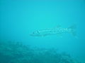
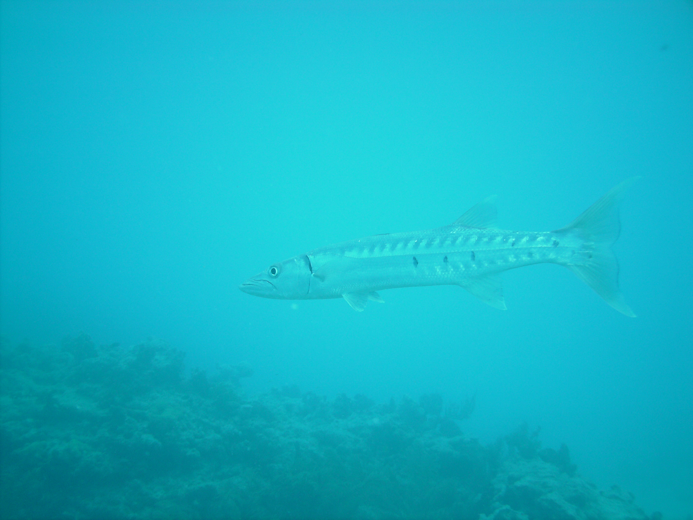
Large Barracuda at Marker 32 reef, June 2010
-

Endangered Nassau Grouper (Epinephelus striatus) at Marker 32 reef, June 2010
References
- NOAA National Marine Sanctuary Maps, Florida Keys East
- NOAA Website on Marker 32
- NOAA Navigational Chart 11441
Corals and coral reefs Stony corals 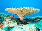
Soft corals - Alcyonacea
- Black coral
- Bamboo coral
- Organ pipe coral
- Sea fans
- Sea pens
Coral reefs - Atoll reef
- Cay
- Fringing reef
- Microatoll
- Coral reef fish
- Census of Coral Reefs
- The Structure and Distribution of Coral Reefs
Coral regions Coral diseases - Coral bleaching
- Black band disease
- Skeletal eroding band
- White band disease
- White pox disease
Protection - Coral reef protection
- Project AWARE
- Reef Check
- Reef Ball
- Coral Reef Alliance
- International Society for Reef Studies
Other - Artificial reef
- Coral aquaculture
- Coral dermatitis
- Coral (precious)
- Coral rag
- Coral sand
- Coralline algae
- Human impact
- Fire coral
- Rugosa (extinct)
- Tabulate (extinct)
- Zooxanthella
Categories:- Marine biology
- Reefs of the Atlantic Ocean
-


Wikimedia Foundation. 2010.