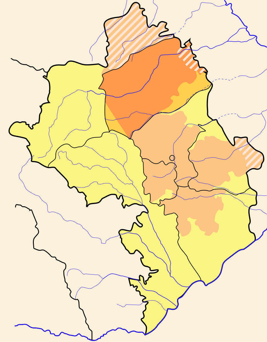
- Martakert Province
-
Coordinates: 40°12′37″N 46°48′33″E / 40.21028°N 46.80917°E
Martakert
Մարտակերտ— Province — 
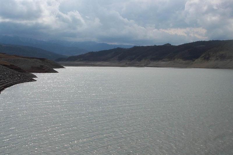
Capital Martakert Government - Governor Sergei Ohanyan Area - Total 1,795 km2 (693.1 sq mi) Area rank Ranked 4th Population (2005)[1] - Total 18,963 - Rank Ranked 3rd - Density 10.6/km2 (27.4/sq mi) Postal code Website karabakh.net Martakert (Armenian: Մարտակերտ, Russian: Мартакерт) is a province of the de facto independent Nagorno-Karabakh Republic. Its territory is a de jure part of Azerbaijan, divided between the Tartar and Kelbajar rayons after Azerbaijan's abolition of the Nagorno-Karabakh Autonomous Oblast in 1991. The Sarsang reservoir is located in this province.
Cultural sites
The Gandzasar monastery, the Yeghishe Arakyal Monastery and the 17th century Armenian monastery Yerits Mankants are located in this province. In the summer of 2006, Armenian media announced that the ruins of an ancient city built by King Tigranes the Great had been discovered in the Mardakert region. Archaeologist Hamlet Petrosyan said it was no coincidence that that very location had been chosen for excavation - history had pointed to it strongly.
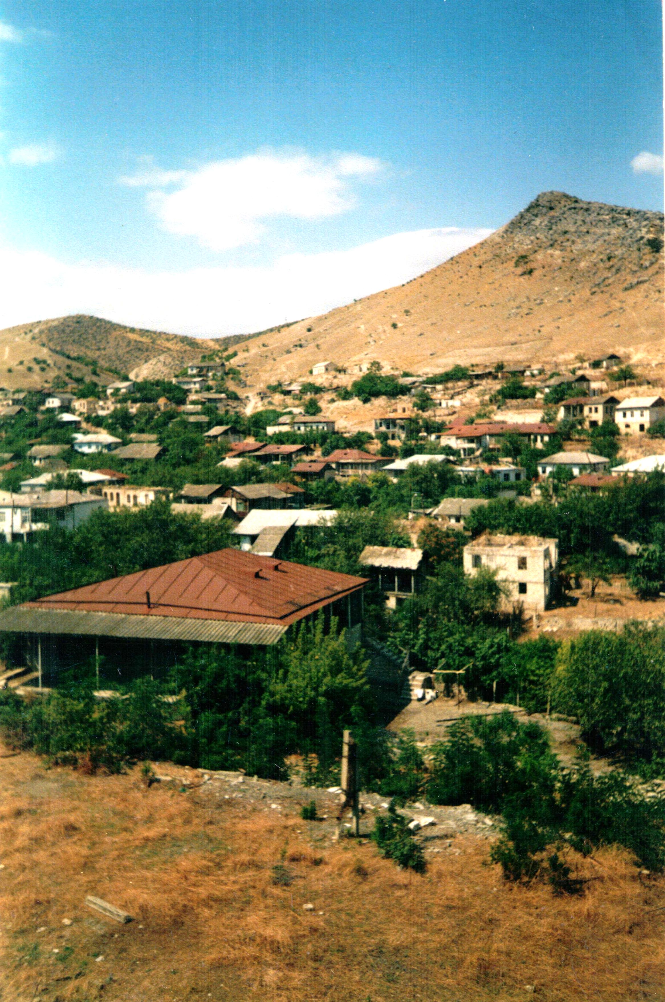
 Mardakert view

References
See also
Aghabekalandj • Aradjadzor • Chankatagh • Chapar • Chldran • Drmbon • Garnakar • Getavan • Harutyunagomer • Haterk • Hovtashen • Khnkavan • Kichan • Kochoghot • Kolatak • Kousapat • Madaghis • Maghavouz • Mehmana • Mets Shen • Mokhratagh • Nerkin Horatagh • Nor Aygestan • Nor Ghazanchi • Nor Haykadjur • Nor Karmiravan • Nor Maragha • Nor Seysoulan • Poghosagomer • Shahmasour • Talish • Tbldou • Tsaghkashen • Tsamakahogh • Vaghouas • Vank • Vardadzor • Varnkatagh • Verin Horatagh • Zaglik • Zardakhach
Cities Stepanakert (capital)
Provinces
(Մարզեր marzer)Provincial capitals 1 Claimed by the Nagorno-Karabakh Republic but under Azerbaijani control.
2 Claimed by the Nagorno Karabakh Republic as the capital of the province of Shahumyan.Categories:- Martakert Province
- Armenia geography stubs
- Azerbaijan geography stubs
Wikimedia Foundation. 2010.