- Manteigas Municipality
-
Manteigas — Municipality — 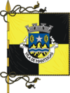
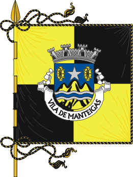
Flag
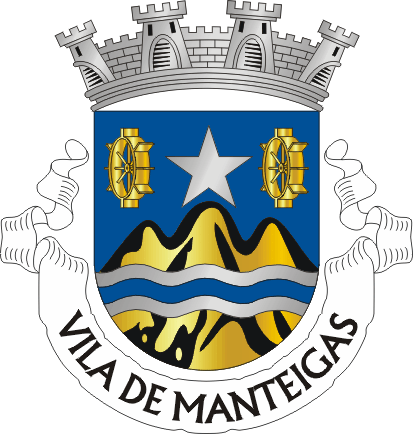
Coat of armsLocation in Portugal
Coordinates: 40°24′N 7°32′W / 40.4°N 7.533°WCoordinates: 40°24′N 7°32′W / 40.4°N 7.533°W Country  Portugal
Region Centro Subregion Beira Interior Norte District/A.R. Guarda Government - Mayor Esmeraldo Carvalhinho (PS) Area - Total 125.0 km2 (48.3 sq mi) Population (Manteiguenses) - Total 4,002 - Density 32/km2 (82.9/sq mi) Parishes (no.) 4 Municipal holiday
March 4Website http://www.cm-manteigas.pt Manteigas (Portuguese pronunciation: [mɐ̃ˈtɐjɣɐʃ]) is a town and a municipality in Portugal with a total area of 125.0 km² and a total population of 4,002 inhabitants.
The municipality is composed of 4 parishes, and is located in Guarda District; in Centro Region and Beira Interior Norte Subregion, Comunidade urbana: Beiras. It is located in the Serra da Estrela Mountain, the highest elevation in mainland Portugal. Cities nearby: Guarda, Seia, Gouveia and Covilhã. The present Mayor is Esmeraldo Saraiva Neto Carvalhinho, elected by the Socialist Party.
The municipal holiday is March 4.
Parishes
- Sameiro
- Santa Maria (Town of Manteigas)
- São Pedro (Town of Manteigas)
- Vale de Amoreira
See also
External links
Aguiar da Beira · Almeida · Celorico da Beira · Figueira de Castelo Rodrigo · Fornos de Algodres · Gouveia
Guarda · Manteigas · Mêda · Pinhel · Sabugal · Seia · Trancoso · Vila Nova de Foz Côa Categories:
- Spa towns in Portugal
- Municipalities of Portugal
- Towns in Portugal
- Portugal geography stubs

Wikimedia Foundation. 2010.