- Mangalwedha
-
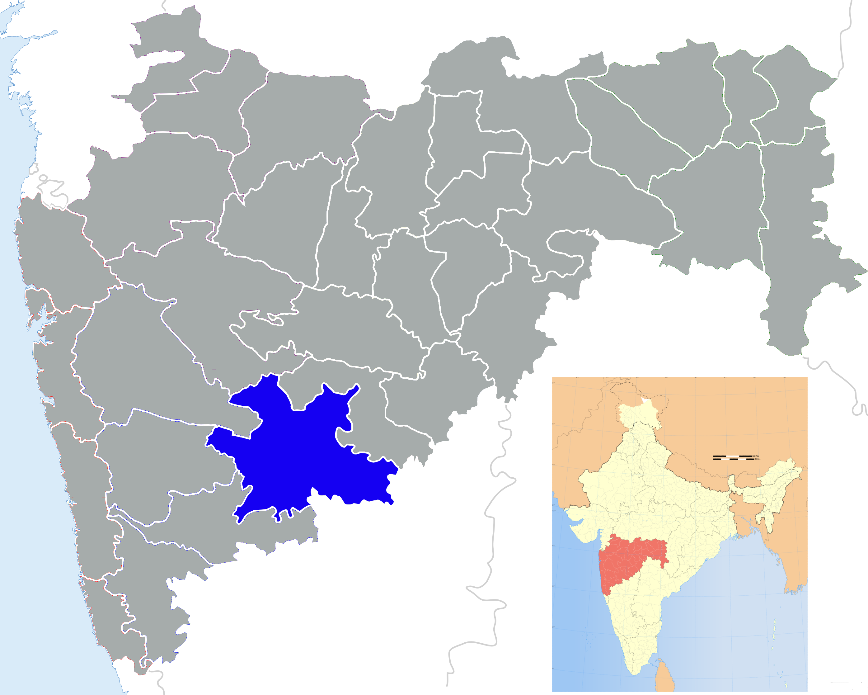
Mangalwedha — city — Coordinates 17°31′00″N 75°28′00″E / 17.51667°N 75.46667°ECoordinates: 17°31′00″N 75°28′00″E / 17.51667°N 75.46667°E Country India State Maharashtra District(s) Solapur Population 21,694 (2001[update]) Time zone IST (UTC+05:30) Website www.mangalwedha.com/ Mangalwedha (Devanagari: मंगळवेढा) is a city and a municipal council in Solapur district in the Indian state of Maharashtra. It is the birthplace of Shri Jayatirtha also called as Teekacharya, one of the greatest saints of the Dvaita school of Vedanta.
Contents
Geography
The city of Mangalwedha is situated 55 km west of the district headquarters at Solapur and 25 km southeast of Pandharpur.Laxmi Dahiwadi is the famous village in mangalwedha taluka.This village is 18 km from mangalwedha city. Mangalwedha is also famous for the Jwari crop.
History
Mangalwedha is also called "The Land of Saints". In the 14th century, Mangalwedha was an active workplace of many saints such as Sant Damaji, Sant Chokhamela, Sant Gadgebaba, Sant Gopabai, Sant Kanhopatra and others.[1] Mangalwedha is also called 'Jwariche Kothar' and Laxmi Dahiwadi is known for the village of Primary Teachers. Major crops in Laxmi Dahiwadi is taken as Onion.as well as Jawar, Bajari, Makka like that.
The Name of Village 'Laxmi Dahiwadi' comes from God Laxmi Temple in Dahiwadi and Milk Production is very big in Dahiwadi, so from Milk ,they sold Dahi near to rural area so Dahiwadi. The current population of Laxmi Dahiwadi is Near About 10000.All type of people leaving in Laxmi dahiwadi very Happpily.
Demographics
As of 2001[update] India census,[2] Mangalwedha had a population of 21,694. Males constitute 52% of the population and females 48%. Mangalwedha has an average literacy rate of 68%, higher than the national average of 59.5%: male literacy is 76%, and female literacy is 60%. In Mangalwedha, 13% of the population is under 6 years of age.
References
- ^ http://mangalwedha4u.com/Sant%20Main.htm
- ^ "Census of India 2001: Data from the 2001 Census, including cities, villages and towns (Provisional)". Census Commission of India. Archived from the original on 2004-06-16. http://web.archive.org/web/20040616075334/http://www.censusindia.net/results/town.php?stad=A&state5=999. Retrieved 2008-11-01.
External links
Solapur district topics History 
Geography Tehsils Akkalkot · Barshi · Karmala · Madha · Malshiras · Mangalvedhe · Mohol · Pandharpur · Sangola · Solapur North · Solapur SouthCities and towns Education Lok Sabha constituencies Vidhan Sabha constituencies MadhaCategories:- Cities and towns in Solapur district
- Talukas in Maharashtra
- Pune Division geography stubs


Wikimedia Foundation. 2010.