- Malshiras
-
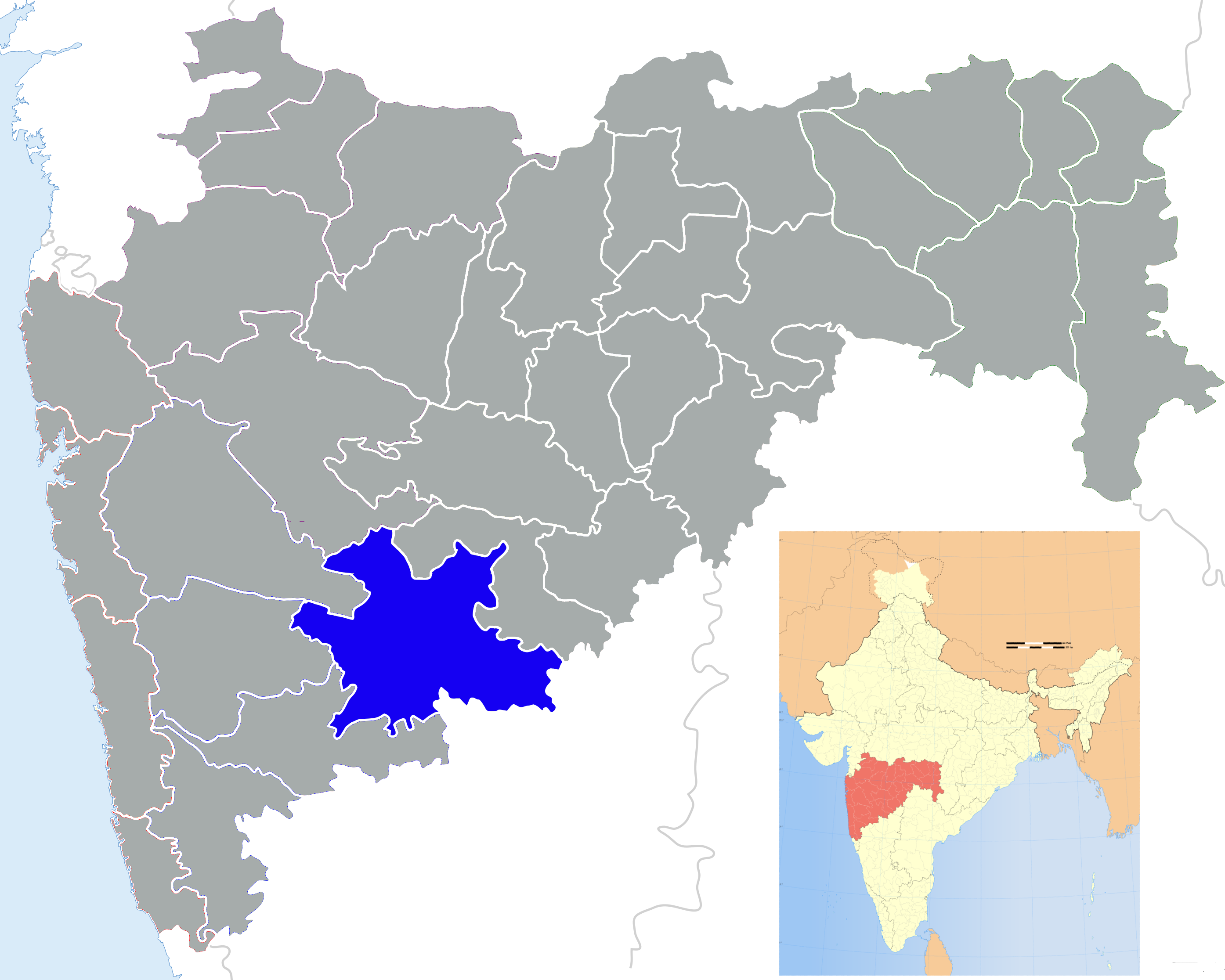
Malshiras — town, taluka — Coordinates 17°55′N 74°57′E / 17.92°N 74.95°ECoordinates: 17°55′N 74°57′E / 17.92°N 74.95°E Country India State Maharashtra District(s) Solapur Nearest city Solapur Time zone IST (UTC+05:30) Area
• Coastline
• 0 kilometres (0 mi)
Climate
Temperature
• Summer
• WinterDry and hot (Köppen)
• 45 °C (113 °F)
• 12 °C (54 °F)Codes-
• Telephone • +02185 • Vehicle • MH-13
Malshiras is a town and the headquarters of Malshiras taluka in Solapur district of Maharashtra state in western India. There are many popular towns in Malshiras taluka such as Akluj, Natepute, Malinagar Velapur (for famous Ardhnari Nateshwar temple)etc.
This taluka headquarters has a post and telegraph office, Gram-panchayat and panchayat samiti, Primary health center monitored by Zilla-parishad, Solapur. Generally wells are the main source of water-supply. Primary schools conducted by the Zilla Parishad and one high school known as the Gopalrao Dev Prashala and Jr. College cater to the educational needs of the town populace.
A weekly open market is held on every Thursday. There is one movie theatre near canal no. 58.
The Hanumaan temple (town god) near the natural canal is especially famous one.
Contents
Transportation
Malshiras is on the road connecting Pune- Pandharpur. Malshiras is well-connected by Maharashtra State Road Transport Corporation (MSRTC) buses to all the major cities in Maharashtra. The nearest train station is Pandharpur.
It is situated near the border of Satara and Solapur districts. The nearby places to visit are Pandharpur, Akluj.The good high school is k.j.s.p.v.malshiras
Economy
Malshiras' economy is Agri-driven. Most of the population is living on agriculture, Daily transport of their products such as vegetables,Grains & Flowers etc.is nowadays done by the private vehicles that run the trips to the city of Pune and get earnings for the farmers. Many of the farmers are now approaching to the modern technology, be it dripping or equipped with the latest tools and techniques to get the maximum use of the resources. Many are staying outstations to earn incomes for their families and rest of the family members are cultivating fields.
Majority of the people rely on water which is available in the wells and canals and their sub-canals. It has Sugar factories located nearby town named Sadashivnagar, and Yashwant Nagar in Akluj.
Various factories are located around including the Shivamrut Milk and Milk Products, Poultries, and green houses of various agri products.
Malshiras is under-developed town due to lack of local and political will power. They can still do the wonders & develop their town to a marvel provided they overcome the above said fact.
See also
Malshiras (Vidhan Sabha constituency)
External links
Maps
Solapur district topics History 
Geography Tehsils Akkalkot · Barshi · Karmala · Madha · Malshiras · Mangalvedhe · Mohol · Pandharpur · Sangola · Solapur North · Solapur SouthCities and towns Akkalkot · Barshi · Karmala · Madha · Malshiras · Mangalwedha · Mohol · Pandharpur · Sangole · SolapurEducation Lok Sabha constituencies Vidhan Sabha constituencies MadhaCategories:- Talukas in Maharashtra
- Cities and towns in Solapur district
-


Wikimedia Foundation. 2010.