- Dutton Park railway station
-
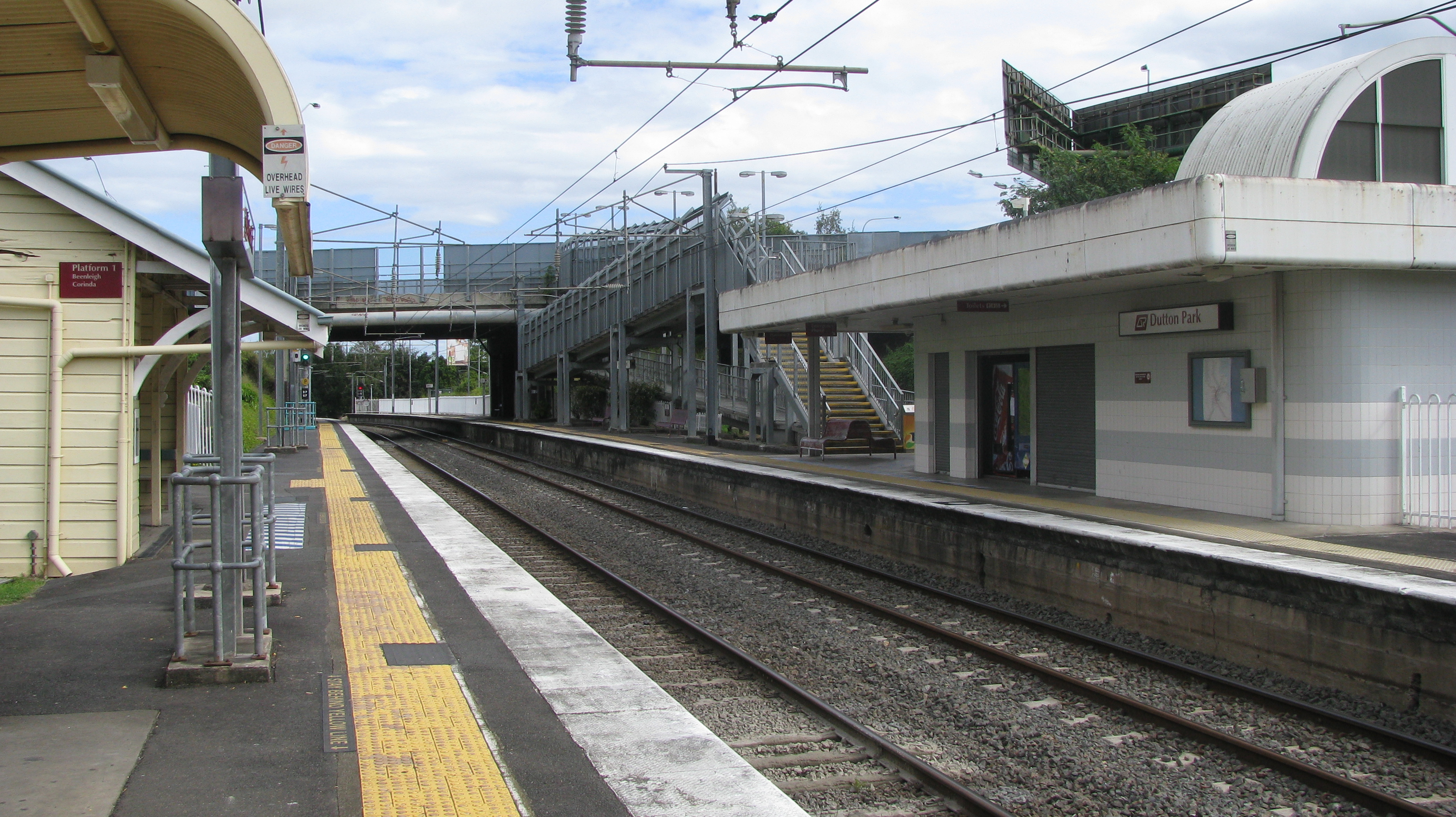
Dutton Park 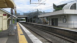
Station statistics Address Railway Terrace, Dutton Park Coordinates 27°29′59″S 153°01′45″E / 27.4998°S 153.0291°ECoordinates: 27°29′59″S 153°01′45″E / 27.4998°S 153.0291°E Lines Beenleigh LinePlatforms 2 total (2 side platforms) Other information Accessible 
Owned by Queensland Rail Fare zone 2 Services Preceding station Queensland Rail Following station Park Roadtoward Bowen HillsBeenleigh Line toward BeenleighDutton Park Station is a railway station on the Beenleigh Line of Brisbane, Australia. It is part of the Queensland Rail City network.
It is in Zone 2 of the TransLink integrated public transport system.
Services by platform
Platform Line Destination Notes 1 Beenleigh
CorindaBeenleigh
Corinda & DarraAll stations
All stations (Peak-hr only)2 Ferny Grove
CorindaCity & Ferny Grove
CityAll stations
All stations (Peak-hr only)See also
External links
Queensland Rail's Beenleigh line Bowen Hills • Fortitude Valley • Central • Roma Street • South Brisbane • South Bank • Gloucester Street (closed) • Park Road • Dutton Park • Fairfield • Yeronga • Yeerongpilly • Moorooka • Rocklea • Salisbury • Coopers Plains • Banoon • Sunnybank • Altandi • Runcorn • Fruitgrove • Kuraby • Trinder Park • Woodridge • Kingston • Loganlea • Bethania • Edens Landing • Holmview • BeenleighCategories:- Railway stations in Brisbane
- Queensland rail transport stubs
Wikimedia Foundation. 2010.