- Doomben railway station
-
Doomben 
Station statistics Address Lamington Avenue, Ascot Coordinates 27°25′53″S 153°04′31″E / 27.4314°S 153.0753°ECoordinates: 27°25′53″S 153°04′31″E / 27.4314°S 153.0753°E Lines Pinkenba LinePlatforms 2 total (2 side platforms) Other information Accessible 
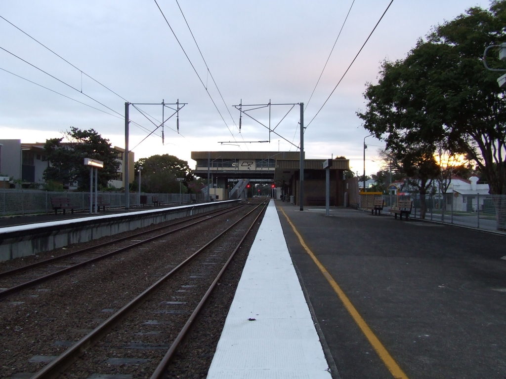
Code DBN[1] Owned by Queensland Rail Fare zone 2 Services Preceding station Queensland Rail Following station toward Roma StreetDoomben Line Terminus Terminus Pinkenba Line Eagle Farmtoward PinkenbaDoomben railway station is a railway station on the Doomben line in Ascot, a northeast suburb of Brisbane, the capital of Queensland, Australia. It is part of the Queensland Rail City network and terminus for passenger services on the Pinkenba line. It is in Zone 2 of the TransLink integrated public transport system.
Doomben railway station is nearby to the Doomben Racecourse.
Contents
History
For more details on this topic, see Rail transport in Queensland.A station for Doomben Racecourse was opened in 1909[2] alongside the Nudgee Road level crossing, and in 1976 a new station – Whinstanes-Doomben – opened slightly further east; Whinstanes was the name of the industrial branch line that crosses Kingsford Smith Drive to the Hamilton Cold Stores.
The station was renamed as simply Doomben with the electrification of the line in 1988, but only as far as Eagle Farm station, the next station east.
Passenger services on the line were suspended on 27 September 1993 by the Goss Labor Party state government rationalization of the rail network throughout Queensland, with the suspending or closing of unprofitable and under-utilized rail lines. However, the station remained functional as a freight control centre.
On 27 January 1998, passenger services resumed under a Borbidge National Party government,[3] and the station re-opened to passengers as a terminus as passenger services only operated to as far as Doomben.
Services
Rail services
Most services terminate at Doomben's platform 1, and depart towards the city from the same.
References
- ^ "Innercity Timetable". Translink. 23 February 2009. http://translink.com.au/resources/travel-information/services-and-timetables/timetables/090223_innercity.pdf. Retrieved 27 December 2010.
- ^ Shunting Doomben Milne, Rod Australian Railway Historical Society Bulletin, November, 1991 pp264-275
- ^ "Doomben Rail Service Resume January 27" (Press release). Queensland Government. 1998-01-21. http://statements.cabinet.qld.gov.au/MMS/StatementDisplaySingle.aspx?id=5094. Retrieved 2007-11-22.
External links
Queensland Rail's Pinkenba line Roma Street • Central • Fortitude Valley • Bowen Hills • Follows Doomben line • Doomben • Eagle Farm • Bunour • Meeandah • PinkenbaCategories:- Railway stations in Brisbane
- Queensland rail transport stubs
Wikimedia Foundation. 2010.