- Donington, Shropshire
-
Coordinates: 52°38′35″N 2°17′06″W / 52.643°N 2.285°W
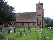 St Cuthbert's church, Donington.
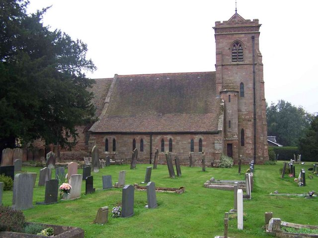
Donington is a hamlet and civil parish in Shropshire, England.
The hamlet is situated on the northern outskirts of the large village of Albrighton.
The parish is geographically large however and includes Cosford and DCAE Cosford, as well as encompassing a small part of the village of Albrighton (close to the railway station). The M54 motorway passes through the parish, as does the Wolverhampton to Shrewsbury Line (Albrighton railway station is on the border of the parishes of Donington and Albrighton). Wigmore Wood lies in the parish.
To the east of the parish is Staffordshire.
Ceremonial county of Shropshire Boroughs or districts Major settlements Bishop's Castle • Bridgnorth • Broseley • Church Stretton • Cleobury Mortimer • Clun • Craven Arms • Ellesmere • Ludlow • Market Drayton • Much Wenlock • Newport • Oswestry • Shifnal • Shrewsbury • Telford (Dawley • Madeley • Oakengates • Wellington) • Wem • Whitchurch
See also: List of civil parishes in ShropshireRivers Topics Categories:- Villages in Shropshire
- Civil parishes in Shropshire
- Shropshire geography stubs
Wikimedia Foundation. 2010.