- Distington
-
Coordinates: 54°36′N 3°32′W / 54.60°N 3.54°W
Distington 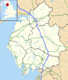
 Distington
Distington shown within CumbriaPopulation 2,247 (2001) OS grid reference NY0023 Parish Distington District Copeland Shire county Cumbria Region North West Country England Sovereign state United Kingdom Post town WORKINGTON Postcode district CA14 Dialling code 01946 Police Cumbria Fire Cumbria Ambulance North West EU Parliament North West England UK Parliament Copeland List of places: UK • England • Cumbria Distington is a large village and civil parish in Cumbria, England, 3 miles (4.8 km) south of Workington and 4 miles (6.4 km) north-northeast of Whitehaven. Historically a part of Cumberland, the civil parish includes the nearby settlements of Common End, Gilgarran and Pica. The population of the civil parish was recorded as 2,247 in the 2001 Census.[1] The village has a co-op, a school and a garage.
South of the village by the Lowca Beck are the fragmentary remains of Hayes Castle, a manor house fortified by Robert de Leyburn in 1322.
Transport
The main road through Distington is the A595. There was once a railway station at Distington on the Cleator and Workington Junction Railway. Harrington railway station, on the Cumbria Coast Line, is the nearest operational station.
References
- ^ Distington CP (Parish): Parish Headcounts. neighbourhood.gov.uk. Office for National Statistics
External links
 Media related to Distington at Wikimedia CommonsCategories:
- Villages in Cumbria
- Civil parishes in Cumbria
- Cumbria geography stubs

Wikimedia Foundation. 2010.