- Devils Brook
-
Devils Brook 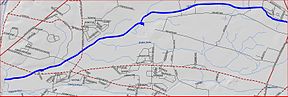
Devils Brook mapOrigin 40°21′22″N 74°29′47″W / 40.35611°N 74.49639°W Mouth 40°19′49″N 74°37′27″W / 40.33028°N 74.62417°W Progression Millstone River, Raritan River, Atlantic Ocean Basin countries United States Mouth elevation 59 ft (18 m) River system Raritan River system Left tributaries Shallow Brook Devils Brook is a tributary of the Millstone River found in central New Jersey, United States. It is a moderately large brook with many unnamed tributaries.
Contents
Course
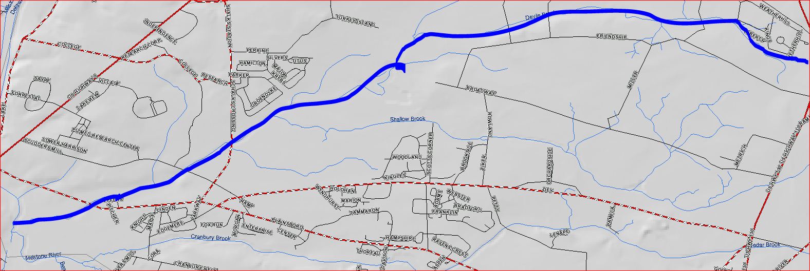
The Devils Brook starts at 40°21′22″N 74°29′47″W / 40.35611°N 74.49639°W[1], near exit 8A on the New Jersey Turnpike. It flows west, following Friendship Road. It then passes through the Plainsboro Preserve, where it feeds a marsh. It joins with Shallow Brook, its tributary, and crosses Scudders Mill Road, also known as CR-614. It crosses Princeton-Plainsboro Road in a dammed section of the brook known as Gordon Pond. It then drains into the Millstone River at 40°19′49″N 74°37′27″W / 40.33028°N 74.62417°W[1].
Accessibility
The Devils Brook drains a large area in Mercer and Middlesex counties. There are many tributaries that cross roads, so it is easily accessible.
Tributaries
The Devils Brook has one tributary; the Shallow Brook.
Sister tributaries
- Beden Brook
- Bear Brook
- Cranbury Brook
- Harrys Brook
- Heathcote Brook
- Indian Run Brook
- Little Bear Brook
- Millstone Brook
- Peace Brook
- Rocky Brook
- Royce Brook
- Simonson Brook
- Six Mile Run
- Stony Brook
- Ten Mile Run
- Van Horn Brook
See also
References
- ^ a b "GNIS Detail - Devils Brook". USGS. http://gnis.usgs.gov/pls/gnispublic/f?p=139:3:8952278180168298::NO:3:P3_FID,P3_TITLE:875900%2CDevils%20Brook. Retrieved 6 July 2010.
External links
Categories:- Tributaries of the Raritan River
- Rivers of New Jersey
- Geography of Mercer County, New Jersey
- Geography of Middlesex County, New Jersey
Wikimedia Foundation. 2010.