- Deadvlei
-
 Dead Acacia erioloba in Deadvlei
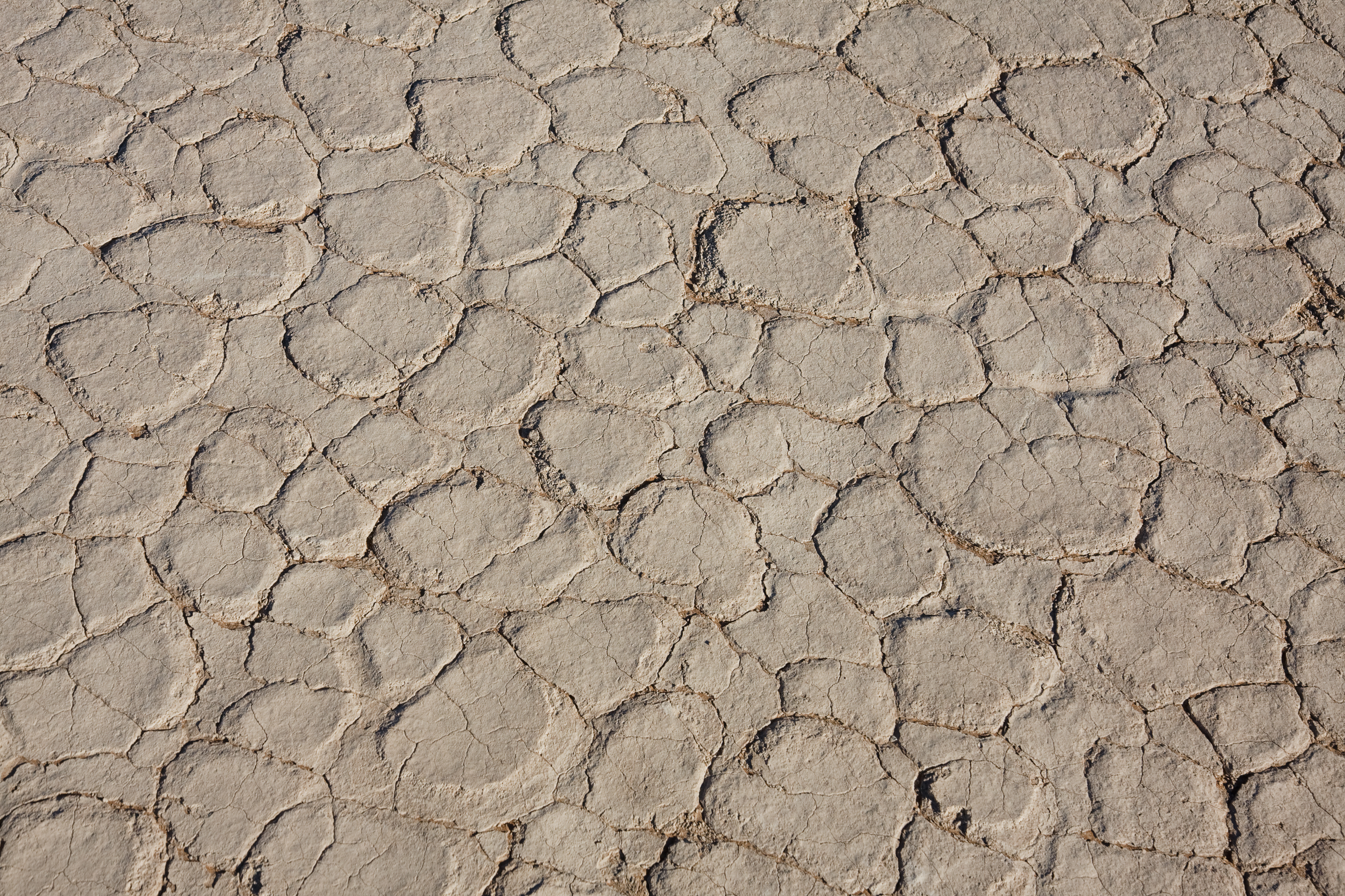
 The parched ground in Deadvlei
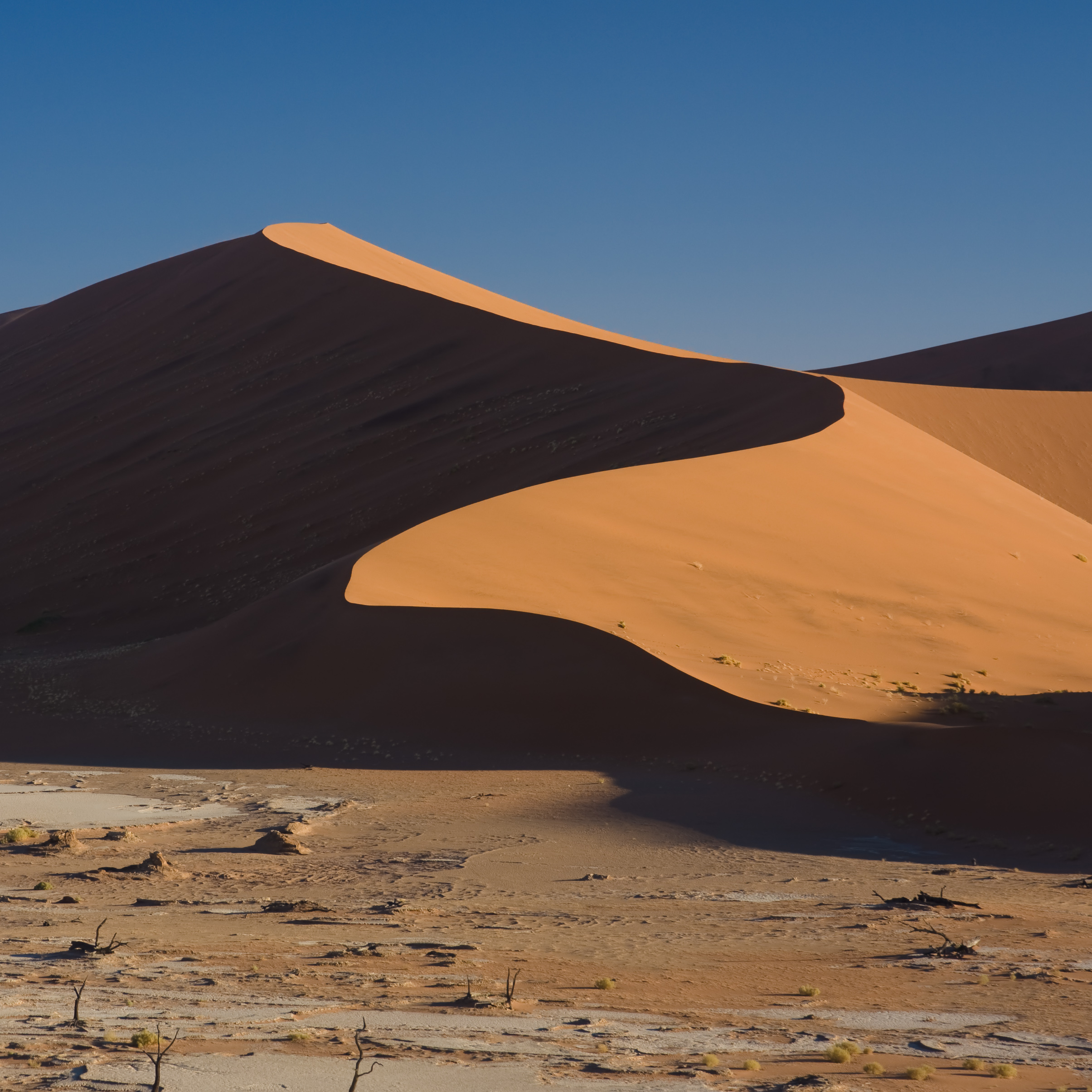
 Dunes around the Vlei
Deadvlei is a white clay pan located near the more famous salt pan of Sossusvlei, inside the Namib-Naukluft Park in Namibia. Also written DeadVlei or Dead Vlei, its name means "dead marsh" (from English dead, and Afrikaans vlei, a lake or marsh in a valley between the dunes). The pan also is referred to as "Dooie Vlei" which is the (presumably original) fully Afrikaans name. In Google there are many references to the site, its name often being translated erroneously in terms such as "dead valley"; a vlei is not a valley (which in Afrikaans is "vallei").[1] Nor is the site a valley; the pan is a desiccated vlei.
Dead Vlei has been claimed to be surrounded by the highest sand dunes in the world, the highest reaching 300-400 meters (350m on average, named "Big Daddy" or "Crazy Dune"), which rest on a sandstone terrace. However, the Wikipedia article on dunes contradicts this claim; firstly, there is room for debate on the criteria, such as whether there are higher individual dunes (the article lists at least three higher than "Big Daddy") or whether there are higher "average highest area" dunes elsewhere (the dune article lists one possibly higher area in Africa.)
The clay pan was formed after rainfall, when the Tsauchab river flooded, creating temporary shallow pools where the abundance of water allowed camel thorn trees to grow. When the climate changed, drought hit the area, and sand dunes encroached on the pan, which blocked the river from the area.
The trees died, as there no longer was enough water to survive. There are some species of plants remaining, such as salsola and clumps of !nara, adapted to surviving off the morning mist and very rare rainfall. The remaining skeletons of the trees, which are believed to be about 900 years old, are now black because the intense sun has scorched them. Though not petrified, the wood does not decompose because it is so dry.2008
Bollywood Blockbuster Ghajini was shot here.
References
- P & M Bridgeford, Touring Sossusvlei and Sesriem. ISBN 9991630775
Further reading
- Lancaster, Nicholas (2002). "How dry was dry?—Late Pleistocene palaeoclimates in the Namib Desert". Quaternary Science Reviews 21 (7): 769–82. doi:10.1016/S0277-3791(01)00126-3.
Coordinates: 24°45′35″S 15°17′31″E / 24.75972°S 15.29194°E
Categories:

Wikimedia Foundation. 2010.