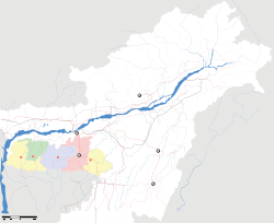
- Dalu, Meghalaya
-
Dalu — town — Coordinates 24°56′0″N 92°46′0″E / 24.933333°N 92.766667°ECoordinates: 24°56′0″N 92°46′0″E / 24.933333°N 92.766667°E Country India State Meghalaya District(s) West Garo Hills Time zone IST (UTC+05:30) Area
• Elevation
• Coastline
• 16 metres (52 ft)
• 0 kilometres (0 mi)Dalu is a town in West Garo Hills district, Meghalaya, India.
Location
National Highway 51 and National Highway 62 ends at Dalu. Nearest airport is Lokpriya Gopinath Bordoloi International Airport at Guwahati.
References
External links
Categories:- Cities and towns in West Garo Hills district
- India geography stubs
- Meghalaya stubs
Wikimedia Foundation. 2010.


