- D49 road (Croatia)
-
D49 state road
Route information Length: 19.0 km (11.8 mi) Major junctions From:  D38 in Pleternica
To:  A3 in Lužani interchange
Location Counties: Požega-Slavonia, Brod-Posavina Major cities: Pleternica Highway system State roads in Croatia
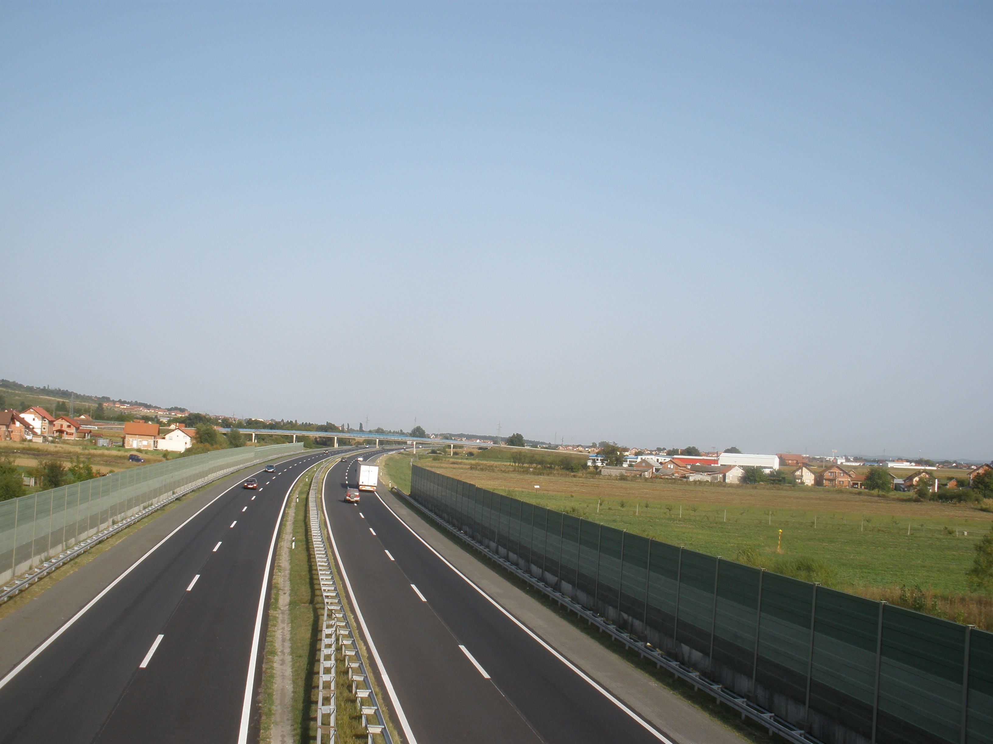
 The D49 road links Pleternica to the A3 motorway
D49 is a state road in the Slavonia region of Croatia that connects the A3 motorway's Lužani interchange to the D38 state road, facilitating access from the A3 motorway to Pleternica and its surroundings.[1] The road is 19.0 km long.[2]
The road, as well as all other state roads in Croatia, is managed and maintained by Hrvatske Ceste, state owned company.[3]
Contents
Traffic volume
Traffic is regularly counted and reported by Hrvatske Ceste, operator of the road.[4]
D49 traffic volume Road Counting site AADT ASDT Notes  D49
D493509 Batrina north 1,275 1,574 Between Ž4185 and Ž4158 junctions. Road junctions and populated areas
D49 junctions Type Slip roads/Notes 
Pleternica
D38 to Požega (to the west) and to Đakovo (to the east).
 D525 to Slavonski Brod.
The northern terminus of the road.Bresnica Sulkovci Ratkovica Dragovci
Ž4185 to Brodski Drenovac and Bilice.Batrina
Ž4158 to Vrbova, Staro Petrovo Selo and Nova Gradiška.
Ž4244 to Lužani, Oriovac and Stari Slatinik. 
Lužani interchange.
A3 to Zagreb (to the west) and to Slavonski Brod(to the east).
Southern terminus of the road.Sources
- ^ "Regulation on motorway markings, chainage, interchange/exit/rest area numbers and names" (in Croatian). Narodne novine. May 6, 2003. http://narodne-novine.nn.hr/clanci/sluzbeni/305463.html.
- ^ "Decision on categorization of public roads as state roads, county roads and local roads" (in Croatian). Narodne novine. February 17, 2010. http://narodne-novine.nn.hr/clanci/sluzbeni/2010_02_17_410.html.
- ^ "Public Roads Act" (in Croatian). Narodne novine. December 14, 2004. http://narodne-novine.nn.hr/clanci/sluzbeni/2004_12_180_3130.html.
- ^ "Traffic counting on the roadways of Croatia in 2009 - digest" (in English). Hrvatske Ceste. May 1, 2010. http://www.hrvatske-ceste.hr/WEB%20-%20Legislativa/brojenje-prometa/CroDig2009.pdf.
See also
- A3 motorway
- State roads in Croatia
- Hrvatske ceste
Categories:- State roads in Croatia
- Brod-Posavina County
- Požega-Slavonia County

Wikimedia Foundation. 2010.