- Currabubula, New South Wales
-
Currabubula
New South Wales
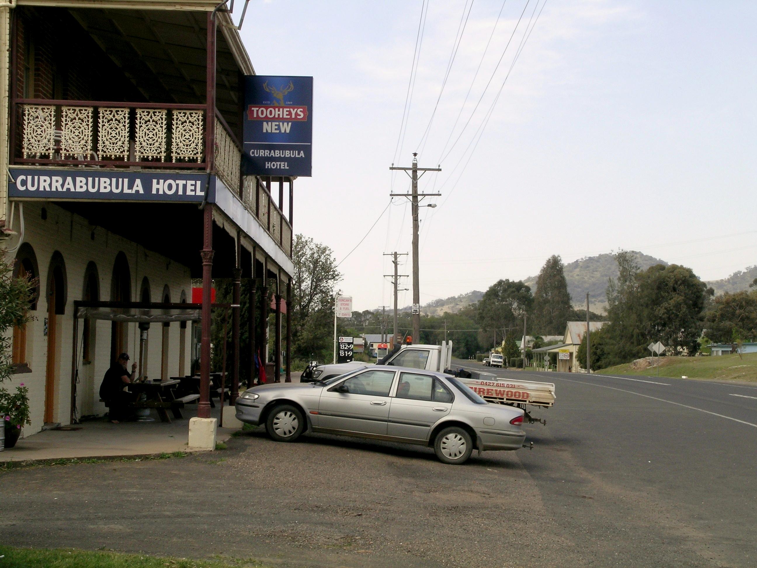
The main street.
 Currabubula
Population: 389[1] Established: c.1855 Postcode: 2342 Elevation: 433 m (1,421 ft) LGA: Liverpool Plains Shire County: Buckland State District: Tamworth Federal Division: New England Currabubula is a village on the North West Slopes of the New England region of New South Wales, Australia. It is located on the Werris Creek Road 30 kilometres south-west of Tamworth and 15 km north-east of Werris Creek. Currabubula is in the Liverpool Plains Shire Local Government Area.
History
The Indigenous Kamilaroi people lived in the area for many thousands of years.[2] The name Currabubula comes from the Gamilaraay language, possibly meaning 'two-forked tree', or a meeting of ranges at differing angles.[3] Thomas Mitchell first recorded it as the local creek name in 1831.
Before 1848 there was an 'accommodation house' at Currububla and by 1854 (or even possibly earlier) there was an inn located at Carabobbela. The village was laid out before 1860 and in 1862 Currabubula was shown on the county map.[4] A railway station on the Main North railway line was located there between 1878 and 1985.[5]
Currabubula has a public school and a hotel. The annual Currabubula Red Cross Art Exhibition takes place there. Agriculture is the major industry in the area. Important agricultural activities include the production of beef cattle, sheep and grain.
References
- ^ Australian Bureau of Statistics (25 October 2007). "Currabubula (State Suburb)". 2006 Census QuickStats. http://www.censusdata.abs.gov.au/ABSNavigation/prenav/LocationSearch?collection=Census&period=2006&areacode=SSC16917&producttype=QuickStats&breadcrumb=PL&action=401. Retrieved 2011-06-16.
- ^ http://www.abc.net.au/indigenous/map/
- ^ http://www.oktravel.com.au/au/nsw/liverpool-plains/currabubula/
- ^ "Currabubula". OK Travel. OK Travel. http://www.oktravel.com.au/au/nsw/liverpool-plains/currabubula/. Retrieved 16 June 2011.
- ^ Currabubula station. NSWrail.net, accessed 17 January 2010.
Preceding station NSW Main lines Following station Belgambatowards WallangarraMain North Line Warrigunditowards SydneyCategories:- Towns in New South Wales
- Towns in New England, New South Wales
- Australian Aboriginal placenames

Wikimedia Foundation. 2010.