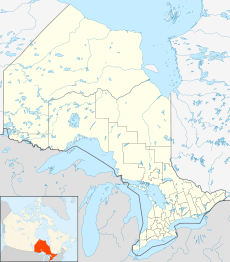
- Crawford Lake (Calcite Creek)
-
Crawford Lake Location Timiskaming District, Ontario Coordinates 47°42′03″N 80°40′58″W / 47.70083°N 80.68278°WCoordinates: 47°42′03″N 80°40′58″W / 47.70083°N 80.68278°W Primary inflows Unnamed creek Primary outflows Unnamed creek towards Lost Lake Basin countries Canada Max. length .63 km (0.39 mi) Max. width .2 km (0.12 mi) Surface elevation 348 m (1,142 ft) Crawford Lake is a lake in the Montreal River and Ottawa River drainage basins in Timiskaming District, Ontario, Canada. It is about 0.63 kilometres (0.4 mi) long and 0.2 kilometres (0.1 mi) wide, and lies at an elevation of 348 metres (1,142 ft) about 8 kilometres (5 mi) northeast of the community of Gowganda. A short unnamed creek flows in at the north. The primary outflow, at the south, is an unnamed creek towards Lost Lake, which flows via Calcite Creek, Sydney Creek and the Montreal River to Lake Timiskaming on the Ottawa River.
A second Crawford Lake in Timiskaming District and also in the same drainage basins, Crawford Lake (Long Lake), lies just 15 kilometres (9 mi) southwest.
References
- "Crawford Lake". Geographical Names Data Base. Natural Resources Canada. http://geonames.nrcan.gc.ca/search/unique_e.php?id=FAUAZ&output=xml. Retrieved 2010-07-21.
- "Topographic Map sheet 41P10". Atlas of Canada. Natural Resources Canada. 2010-02-04. http://atlas.nrcan.gc.ca/site/english/maps/topo/map/. Retrieved 2010-07-21.
Categories:- Lakes of Timiskaming District, Ontario
- Northern Ontario geography stubs
Wikimedia Foundation. 2010.

