- Counthorpe
-
Coordinates: 52°46′00″N 0°30′00″W / 52.766701°N 0.49999997°W
Counthorpe 
Counthorpe
 Counthorpe
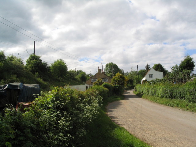
Counthorpe shown within LincolnshireOS grid reference TF 01304 19844 District South Kesteven Shire county Lincolnshire Region East Midlands Country England Sovereign state United Kingdom Post town Grantham Postcode district NG33 Police Lincolnshire Fire Lincolnshire Ambulance East Midlands EU Parliament East Midlands UK Parliament Grantham and Stamford List of places: UK • England • Lincolnshire Counthorpe is a hamlet in the civil parish of Counthorpe and Creeton in the South Kesteven district of Lincolnshire, England. It adjoins the hamlet of Creeton and lies 5 miles (8.0 km) south-west from Bourne and 3 miles (4.8 km) south from Corby Glen, on the River Glen
Counthorpe shares the Grade I listed Anglican parish church at Creeton, dedicated to St Peter.[1] The church is of late Decorated style. A restoration of 1851 discovered the arches and piers of a former Norman aisle. The church holds a chained bible from 1611. Two examples of Saxon crosses stand in the churchyard, with 20 stone coffins considered to mark the internment of Cistercian monks of Vallis Dei abbey in the neighbouring parish of Edenham.[2]
Counthorpe was formerly a hamlet of Castle Bytham and had, up to the 16th century, its own parochial chapel,[2] but was annexed to Creeton in 1860.[3]
References
- ^ "Church of St Peter", National Heritage List for England, English Heritage. Retrieved 19 July 2011
- ^ a b Cox, J. Charles (1916) Lincolnshire p. 108; Methuen & Co. Ltd
- ^ Kelly's Directory of Lincolnshire with the port of Hull 1885, p. 370
External links
 Media related to Creeton at Wikimedia Commons
- "Creeton", www.genuki.org.uk. Retrieved 20 July 2011
Categories:- Villages in Lincolnshire
- Hamlets in England
- Lincolnshire geography stubs

Wikimedia Foundation. 2010.