- Cotacotani Lake
-
Cotacotani Lake 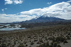
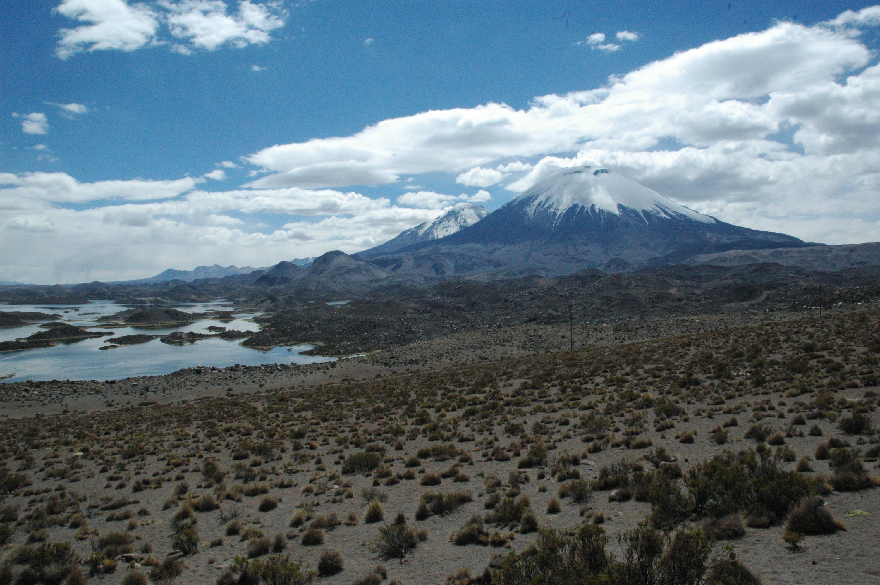
Cotacotani (left), Pomerape and Parinacota (right). Location Arica-Parinacota Region Coordinates 18°11′S 69°13′W / 18.183°S 69.217°WCoordinates: 18°11′S 69°13′W / 18.183°S 69.217°W Primary inflows Benedicto Morales River, El Encuentro Creek Primary outflows Desaguadero River Catchment area 119 km² [1] Basin countries Chile Surface area 6 km² [1] Max. depth 10 m Surface elevation 4495 m [1] References [1] Laguna de Cotacotani is a lake[2] located in the Andean altiplano of the Parinacota Province, Arica-Parinacota Region, Chile. It lies 4 km northwest of Chungará Lake, which is one of the highest lakes in the world and is surrounded by several volcanoes, such as the group formed by the Nevados de Payachata (Parinacota and Pomerape), the Nevado Sajama and the Guallatiri.
Laguna de Cotacotani is separated from the lake Chungará by a strip of volcanic rock and receives groundwater inflow from that lake, however its major sources are Benedicto Morales River and El Encuentro Creek. Cotacotani Lake's main feature is the considerable number of islands and islets that it holds, which are really lava hummocks generated by a past volcanic event. With a surface of 6 km², the Cotacotani holds a volume of water between 30 to 40 million of m³, which empty through Lauca River into Coipasa Lake, in Bolivia.
Although much of its present hummocky topography is related to a large volcanic debris avalanche occurred in the zone, this lacustrine area was not originated by such event. Recent investigations suggests that Cotacotani originated as a series of kettle hole ponds.[3]
Cotacotani lies close to the Route CH-11, which connects Arica and La Paz via Tambo Quemado International Pass. The lake is located about 54 km east of Putre and 9 km west of the border with Bolivia, within Lauca National Park.
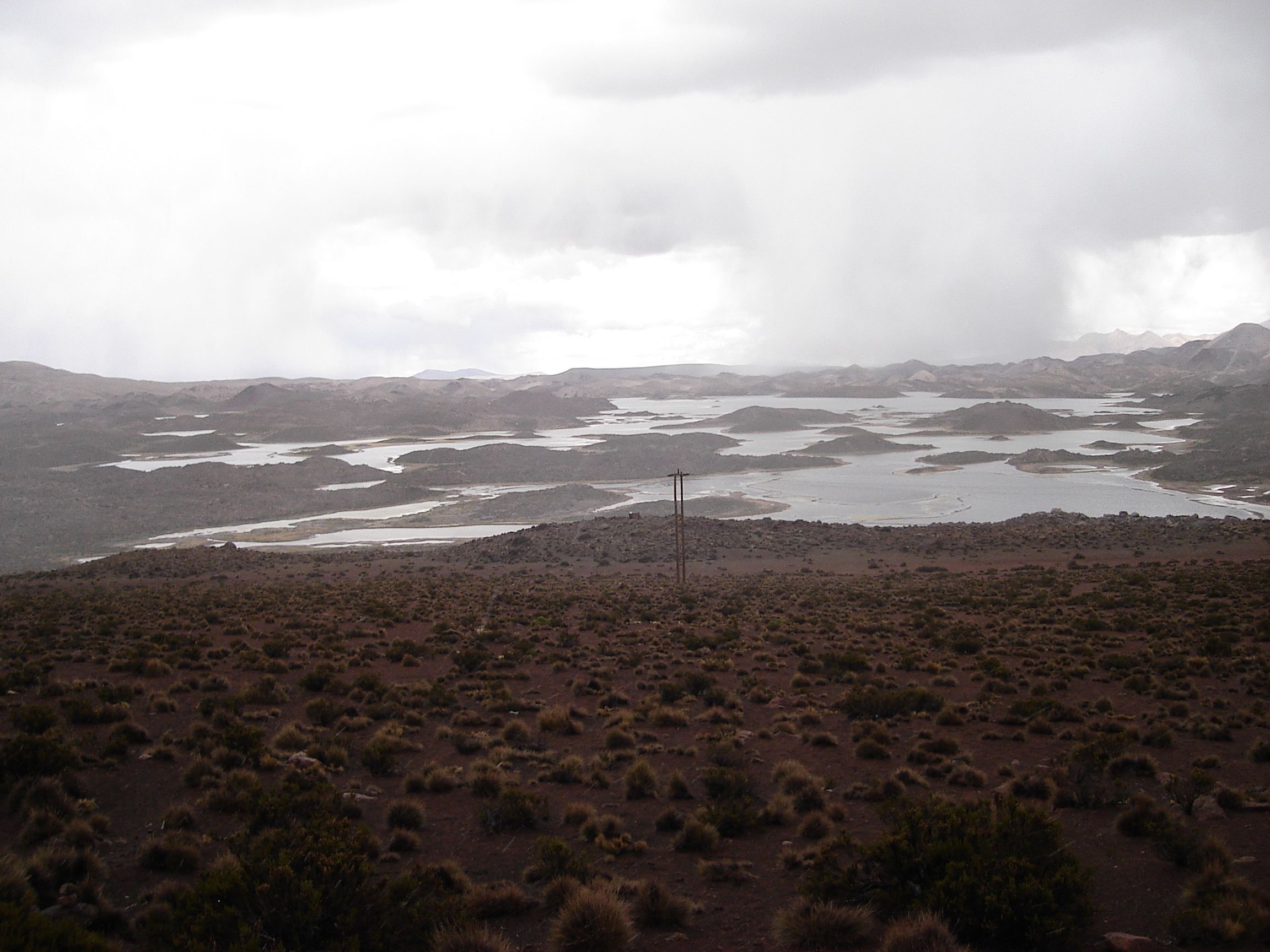
 Bad weather
References
- ^ a b c d (Spanish) IRD en Chile: Lagunas Cotacotani
- ^ It is considered as one or several lakes, depending on sources.
- ^ "Geological constraints on the emplacement mechanism of the Parinacota debris avalanche, northern Chile". http://www.itg.cam.ac.uk/people/heh/Paper170.pdf. Retrieved 2007-08-07.
- This article draws partially on the corresponding article in the Spanish-language Wikipedia, accessed August 7, 2007.
Categories:- Chile geography stubs
- Lakes of Chile
Wikimedia Foundation. 2010.