- Corsenside
-
Coordinates: 55°11′56″N 2°10′55″W / 55.199°N 2.182°W
Corsenside 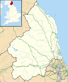
 Corsenside
Corsenside shown within NorthumberlandOS grid reference NY885895 Unitary authority Northumberland Ceremonial county Northumberland Region North East Country England Sovereign state United Kingdom Post town HEXHAM Postcode district NE48 Dialling code 01434 Police Northumbria Fire Northumberland Ambulance North East EU Parliament North East England UK Parliament Hexham List of places: UK • England • Northumberland Corsenside is a village in Northumberland, England alongside the A68 road about 17 miles (27 km) north of Corbridge.
Contents
Governance
Corsenside is in the parliamentary constituency of Hexham.
Religious sites
The tiny church of St. Cuthbert at Corsenside, between the road and the river, contains a Norman chancel arch. The age and dedication of the church makes it probable that this was one of the spots where the body of St. Cuthbert rested during the flight of the monks from Holy Island, 875-882 AD. They probably came here from Elsdon; and continued by way of Bellingham, Haydon Bridge, Beltingham, etc. The neighbouring house with small mullioned windows is a 17th century building.[1]
References
- ^ Hugill, Robert (1931). Road Guide to Northumberland and The Border. Newcastle upon Tyne, England: Andrew Reid & Company, Limited.
External links
 Media related to Corsenside at Wikimedia Commons
- GENUKI (Accessed: 28 November 2008)
Categories:- Villages in Northumberland
- Northumberland geography stubs

Wikimedia Foundation. 2010.