- Clymping
-
Coordinates: 50°48′48″N 0°34′43″W / 50.81346°N 0.57855°W
Clymping 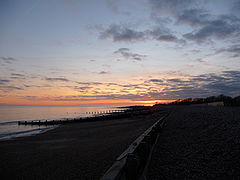
Climping beach at sunset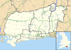
 Clymping
Clymping shown within West SussexArea 6.91 km2 (2.67 sq mi) [1] Population 600 [1] 2001 Census - Density 87 /km2 (230 /sq mi) OS grid reference TQ002024 - London 52 miles (84 km) NNE Parish Clymping District Arun Shire county West Sussex Region South East Country England Sovereign state United Kingdom Post town LITTLEHAMPTON Postcode district BN17 Dialling code 01903 Police Sussex Fire West Sussex Ambulance South East Coast EU Parliament South East England UK Parliament Bognor Regis and Littlehampton Website http://www.clymping.org.uk/ List of places: UK • England • West Sussex Clymping is a civil parish, located around the hamlet of Climping in the Arun District of West Sussex, England. The parish also contains the coastal hamlet of Atherington. It is located three miles (5 km) west of Littlehampton, just north of the A259 road. The parish church, dedicated to St Mary, dates from 1080, and is teamed with those of Yapton and Ford under one vicar.
Fringing the coast towards the River Arun and Littlehampton are the Climping sand dunes, a Site of Special Scientific Interest, which includes areas of rare vegetated shingle.
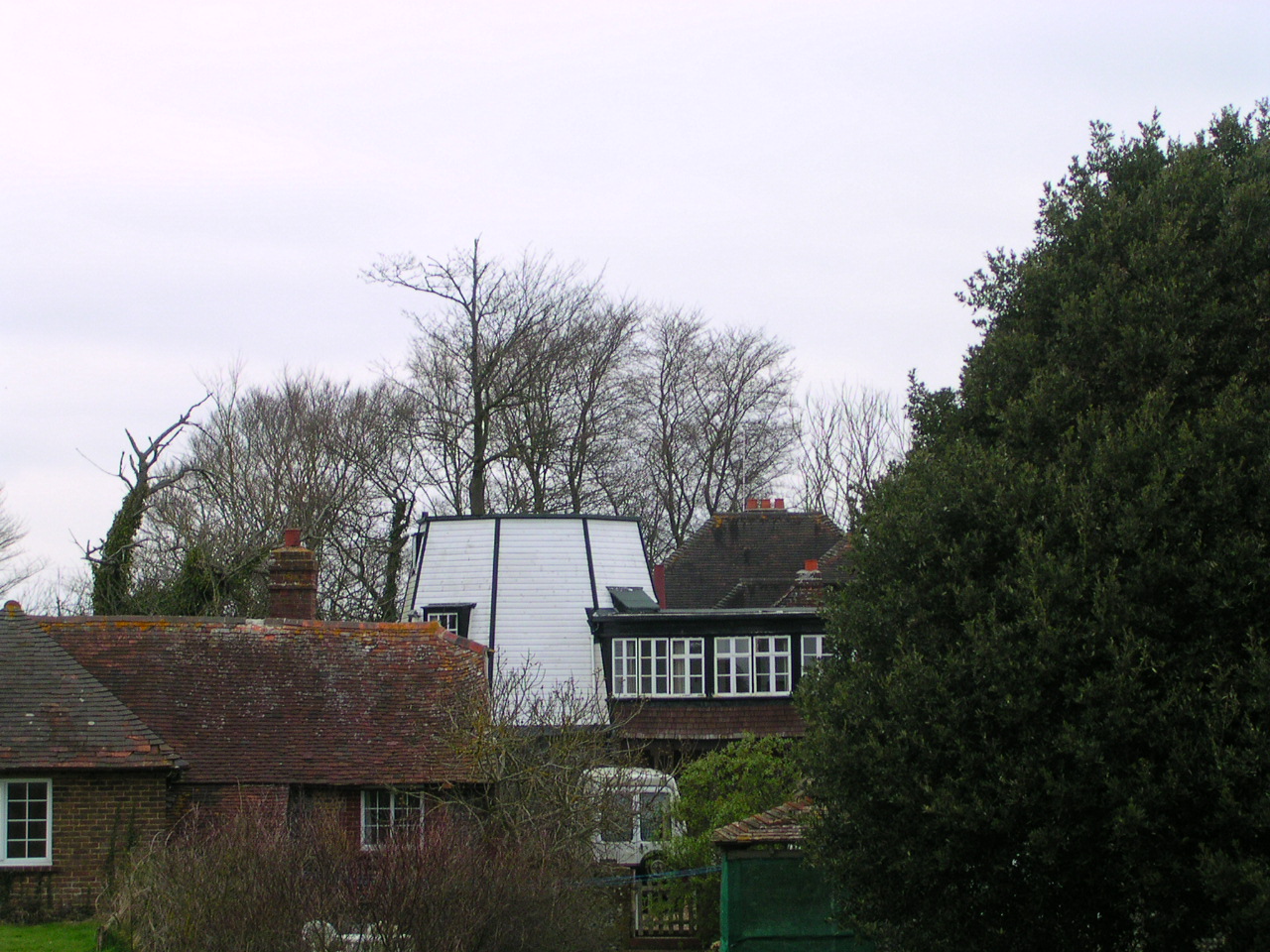
 Climping Windmill
References
- ^ a b "2001 Census: West Sussex – Population by Parish". West Sussex County Council. http://www.westsussex.gov.uk/communityandliving/census2001/pop_parish_summary.pdf. Retrieved 29 March 2009.
External links
Towns Villages and Hamlets Aldingbourne · Aldwick · Ancton · Angmering · Atherington · Barnham · Bilsham · Binsted · Burpham · Clapham · Climping · East Preston · Eastergate · Elmer · Felpham · Ferring · Findon · Flansham · Fontwell · Ford · Houghton · Kingston Gorse · Lagness · Lyminster · Madehurst · Middleton-on-Sea · Nepcote · North Bersted · Nyetimber · Offham · Pagham · Patching · Poling · Rose Green · Rustington · Shripney · Slindon · South Bersted · South Stoke · Toddington · Tortington · Walberton · Warningcamp · Wepham · Westergate · Wick · YaptonCivil Parishes Categories:- Villages in West Sussex
- Arun
- West Sussex geography stubs


Wikimedia Foundation. 2010.