Clee St. Margaret

Clee St. Margaret

Coordinates: 52°27′18″N 2°38′28″W / 52.455°N 2.641°W / 52.455; -2.641

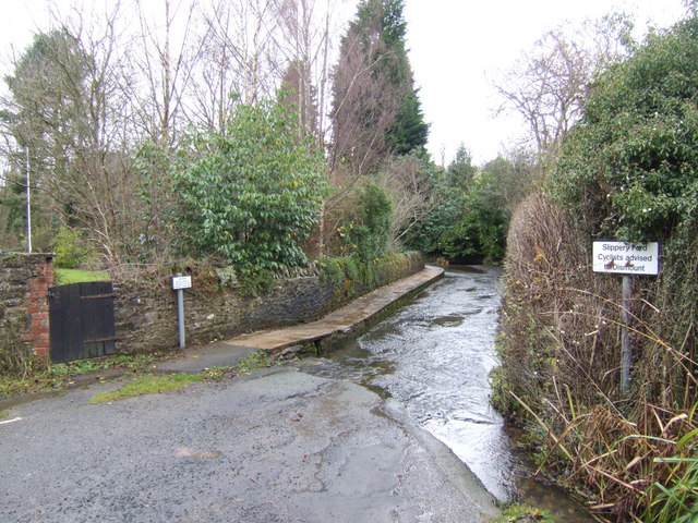
Ford on the Clee Brook.

Clee St. Margaret is an upland hamlet and civil parish in the Clee Hills area of Shropshire, England.

There is a 900 year old parish church and a village hall but no pub, despite the hamlet boasting five pubs earlier during the height of the quarrying on nearby Brown Clee Hill. Historically the settlement also had a shop, a Methodist Chapel, a school and a post office. The current population of the parish of Clee St. Margaret, which includes the settlements of Cockshutford and Cold Weston, is 134.

Clee St. Margaret is seven miles north east (about a fifteen-minute drive) from the market town of Ludlow.

Clee Brook passes through the settlement as a 50 m long, shallow ford.

Local land use includes two small vineyards and extensive sheep grazing.

External links

Media related to Clee St. Margaret at Wikimedia Commons


Wikimedia Foundation. 2010.

Игры ⚽ Нужно решить контрольную?

Look at other dictionaries:

  • Brown Clee Hill — Brown Clee Hill, looking towards Abdon Burf Elevation 540 m (1,772 ft) …   Wikipedia

  • Lester H. Clee — Lester Harrison Clee (July 1, 1888 ndash; March 15, 1962) was an American clergyman and politician who served in both houses of the New Jersey Legislature and was the Republican nominee for Governor of New Jersey in 1937.Clee was born in 1888 in… …   Wikipedia

  • Nordy Bank (novel) — Nordy Bank   First edition cover Auth …   Wikipedia

  • Nordy Bank — Coordinates: 52°27′30″N 2°37′33″W / 52.4583°N 2.6257°W / 52.4583; 2.6257 For the children s novel by Sheena Porter, please see …   Wikipedia

  • List of civil parishes in Shropshire — This is a list of civil parishes in the ceremonial county of Shropshire, England. Contents 1 Shropshire 2 Telford and Wrekin 3 Notes 4 See also …   Wikipedia

  • Cleethorpes — For the constituency of this name, see Cleethorpes (UK Parliament constituency). Coordinates: 53°33′12″N 0°01′18″W / 53.5533°N 0.02155°W / …   Wikipedia

  • Abdon, Shropshire — Abdon is an upland village in the Clee Hills area of English county of Shropshire. Domesday Book Village It was called Abetune in the Domesday Book. ABDON, a parish in the lower division of the hundred of Munslow, in the county of Salop, a short… …   Wikipedia

  • Cornovii (Midlands) — Not to be confused with Cornovii (Caithness) or Cornovii (Cornish). Cornovii …   Wikipedia

  • Grimsby — For other uses, see Grimsby (disambiguation). Coordinates: 53°33′34″N 0°04′05″W …   Wikipedia

  • List of schools in Yorkshire and the Humber — The following is a partial list of currently operating schools in the Yorkshire and the Humber region of England. You may also find of use to find a particular school. See also the List of the oldest schools in the United Kingdom.Listed by local… …   Wikipedia

Share the article and excerpts

Direct link
Do a right-click on the link above
and select “Copy Link”