San Joaquin River — Coordinates: 38°04′00″N 121°51′04″W / 38.0666667°N 121.85111°W / 38.0666667; 121.85111 … Wikipedia
Kern River — Coordinates: 35°16′4″N 119°18′25″W / 35.26778°N 119.30694°W / 35.26778; 119.30694 … Wikipedia
Mariposa War — v · Indian … Wikipedia
Plains and Sierra Miwok — People A Sierra Miwok cedar bark umuucha cabin reproduction in Yosemite Valley. The material came from lumbering operations of 19th century miners. Previously the Miwok lived in rounded huts made of brush and mud[1] … Wikipedia
California State Route 152 — Infobox road state=CA type=SR route=152 section=452 maint=Caltrans length mi=104.419 length ref= length round=3 length notes=(plus about 1.5 mi (2.5 km) on US 101) history=State highway in 1916; SR 152 in 1934 direction a=West terminus… … Wikipedia
Valley and Sierra Miwok — infobox ethnic group group = Valley Sierra Miwok People caption = A Sierra Miwok cedar bark umuucha cabin reproduction in Yosemite Valley. The material came from lumbering operations of 19th century miners. Previously the Miwok lived in rounded… … Wikipedia
Metropolitan Fresno — Common name: Metropolitan Fresno or Greater Fresno Largest city Fresno Other cities … Wikipedia
Visalia, California — This article is about the city in California. For the metropolitan area, see Visalia Metropolitan Area. For other meanings of Visalia , see Visalia (disambiguation). Visalia City City of Visalia … Wikipedia
San Joaquin Valley — The San Joaquin Valley (pronEng|ˌsæn wɑːˈkiːn) refers to the area of the Central Valley of California that lies south of the Sacramento San Joaquin Delta in Stockton. Although most of the valley is rural, it does contain urban hubs such as… … Wikipedia
Central Valley (California) — The Central Valley is a large, flat valley that dominates the central portion of the U.S. state of California, United States. It is home to many of California s most productive agricultural efforts.The valley stretches nearly 400 miles (600 km)… … Wikipedia
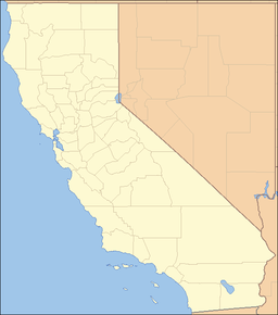
 location of Chowchilla Mountains in California [1]