- Chitrakoot Falls
-
Chitrakoot Falls 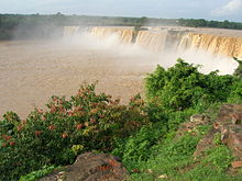
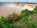
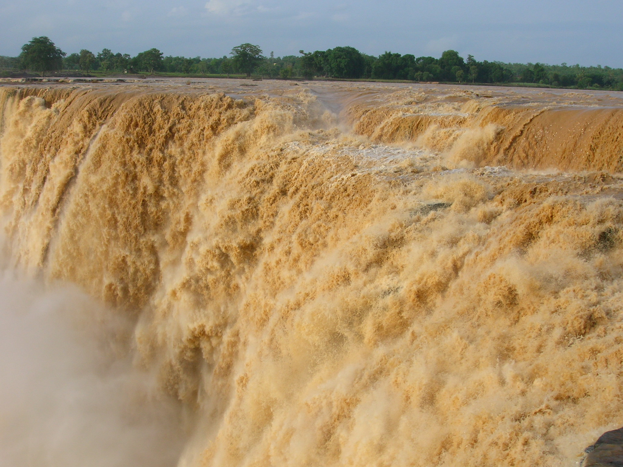
Chitrakoot in monsoonLocation Jagdalpur, India Coordinates 19°12′23″N 81°42′00″E / 19.206496°N 81.699979°E Type Cataract Total height 29 metres (95 ft) Number of drops 1 Watercourse Indravati River The Chitrakoot Falls (alternative spelling Chitrakut) (Hindi: चित्रकोट जलप्रपात) is a waterfall located near Jagdalpur, in Bastar district in the Indian state of Chhattisgarh on the Indravati River. The height of the falls is about 29 metres (95 ft).[1][2] The breadth of the waterfall varies, as the water level in the river goes down drastically during summer. However during a monsoon the river touches both the banks and is filled with silt. In contrast, during summer the water carries no silt and looks different. This is a contrast to Jog falls which has water that looks white even during monsoon.
The area around the falls is largely forested.
Contents
Chitrakoot in monsoon
The day before the photographs were taken, the region was cut off due to floods, so the photographs here will show you the falls at maximum water level. However when most visitors visit they will find the falls much narrower but taller. Chitrakoot Waterfalls is also called The Niagara Falls of India
-

Chitrakoot in monsoon
-
Chitrakoot in monsoon
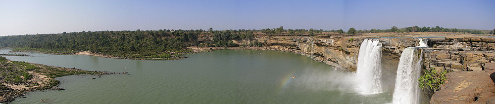
Panoramic View
Location
It is 48 kilometres (30 mi) west of Jagdalpur. Chitrakoot is a place of Hindu pilgrimage, which means that the footfall is high and accommodation is available at or near the falls.
See also
- Tourism in Chhattisgarh
- List of waterfalls in India
References
- ^ Incredible India Central India: Natural Attractions Accessed 24 April 2008
- ^ "Chitrakoot Falls". famous india. http://www.famous-india.com/falls/chitrakoot.html. Retrieved 2010-07-05.
Hydrology of Chhattishgarh Rivers Waterfalls Chitrakoot • TeerathgarhDams Hydrology of surrounding areas Orissa • Jharkhand • Uttar Pradesh • Madhya Pradesh • Maharashtra • Andhra PradeshCategories:- Waterfalls of Chhattisgarh
- Tourism in Chhattisgarh
-


Wikimedia Foundation. 2010.