- Chah Dadkhoda District
-
Chah Dadkhoda District
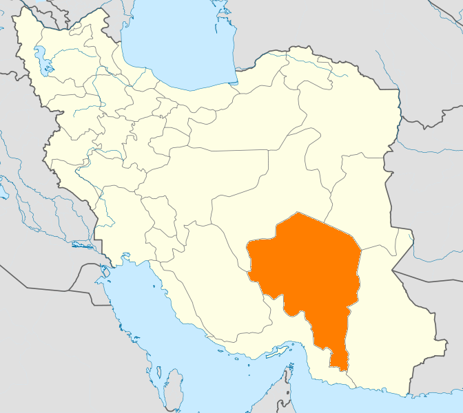
بخش چاه دادخداLocation in Iran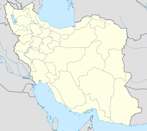
 Chah Dadkhoda District
Coordinates: 27°14′N 58°21′E / 27.233°N 58.35°ECoordinates: 27°14′N 58°21′E / 27.233°N 58.35°E Country  Iran
IranProvince Kerman County Qaleh Ganj Chah Dadkhoda District (Persian: بخش چاه دادخدا) is a district (bakhsh) in Qaleh Ganj County, Kerman Province, Iran. At the 2006 census, its population was 23,641, in 5,111 families.[1] The District is entirely rural.
It is about 56 kilometres (35 mi) south east of this county centre and most of its population are farmers. Cereals, Sesame and dates are major plants grown in this area. The main source of irrigation is underground water with some seasonal rivers that flow and end in Jaz-e-Moryan. The proposed Jaz-e-Moryan special economic zone is partly located in this area.
References
- ^ "Census of the Islamic Republic of Iran, 1385 (2006)" (Excel). Islamic Republic of Iran. http://www.amar.org.ir/DesktopModules/FTPManager/upload/upload2360/newjkh/newjkh/08.xls.
 Kerman Province
Capital 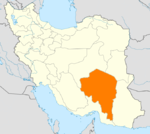
Counties (A-L)
and CitiesAnar CountyAnar • AminshahrAnbarabad • MardehekBaft CountyBam • BaravatFahraj CountyFahrajFaryab CountyFaryabKahnuj CountyKuhbanan CountyKuhbanan • Kian ShahrCounties (M-Z)
and CitiesQaleh Ganj CountyQaleh GanjRabor CountyRaborRavar • HojedkRigan CountyRudbar Jonubi CountyShahr-e Babak CountySights Arg-é Bam · Bardsir citadel · Carpet Museum, Kerman · Dinosaur remnants, Zarand · Dousari waterfall · Ganjali Khan Complex · Hajagha-ali historical complex · Ibrahim Khan's school · Jamé Mosque of Kerman · Kerman's grand Bazzar · Kerman's museum of industry · Khanqah of Sheykh Saeid · Konar Sandal · Maymand · Naderi Milestone, Fahraj · Pid-e Nekooieh · Presidential museum of Rafsanjan · Rayen Castle · Shazdeh Garden · Sirjan's Yakhchals · Torang cave · Shah Nematollah Vali Shrine · Vakil bath, Kerman
Categories:- Qaleh Ganj County
- Districts of Iran
- Districts of Kerman Province
- Iran geography stubs

Wikimedia Foundation. 2010.