- Maroondah Reservoir
-
Maroondah Reservoir 
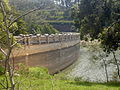
Maroondah Reservoir at HealesvilleLocation near Healesville Victoria Opening date 1927 Dam and spillways Height 41m Length 291m Impounds Watts River Reservoir Creates Maroondah Reservoir Capacity 22,000 megalitres Catchment area 104 km² Surface area 2 km² The Maroondah Reservoir is a small reservoir used to supply water to Melbourne, Victoria.
Constructed in the 1920s by the Melbourne and Metropolitan Board of Works, it is a concrete gravity dam. It is now operated by Melbourne Water.[1]
Like most of Melbourne's water storages, the entire catchment is eucalypt forest completely closed to human activity, as is the reservoir itself. Immediately below the wall, the Maroondah Reservoir Park features a large garden landscaped in an "English style", featuring many exotic plants very different to the surrounding native vegetation.
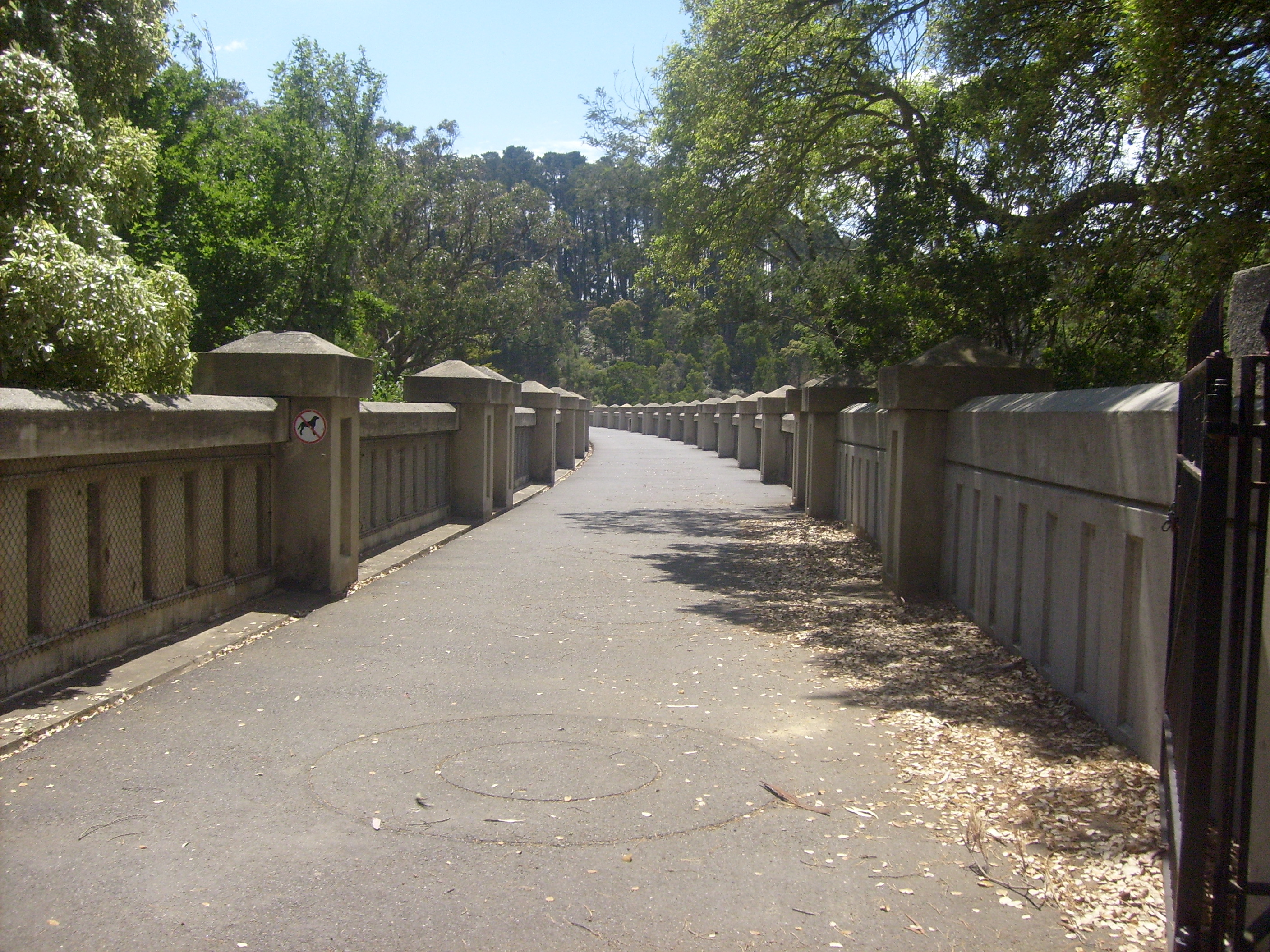
A walking track leads across the dam wall, over the spillway, and up to a lookout from which much of the reservoir can be viewed.
Contents
History
The Maroondah scheme was the third water supply source for Melbourne, following the Yan Yean and Toorourrong schemes.
The Maroondah Aqueduct was build in 1886–1881 to supply water to the Preston Reservoir from a diversion weir on the Watts River. The level for the aqueduct was determined by the site of the proposed Maroondah Reservoir. Preparatory work for the dam was undertaken during the period 1915–1919. Construction commenced in October 1920 and was completed in 1927. During this period the capacity of the Maroondah Aqueduct was increased.[1]
Gallery
-

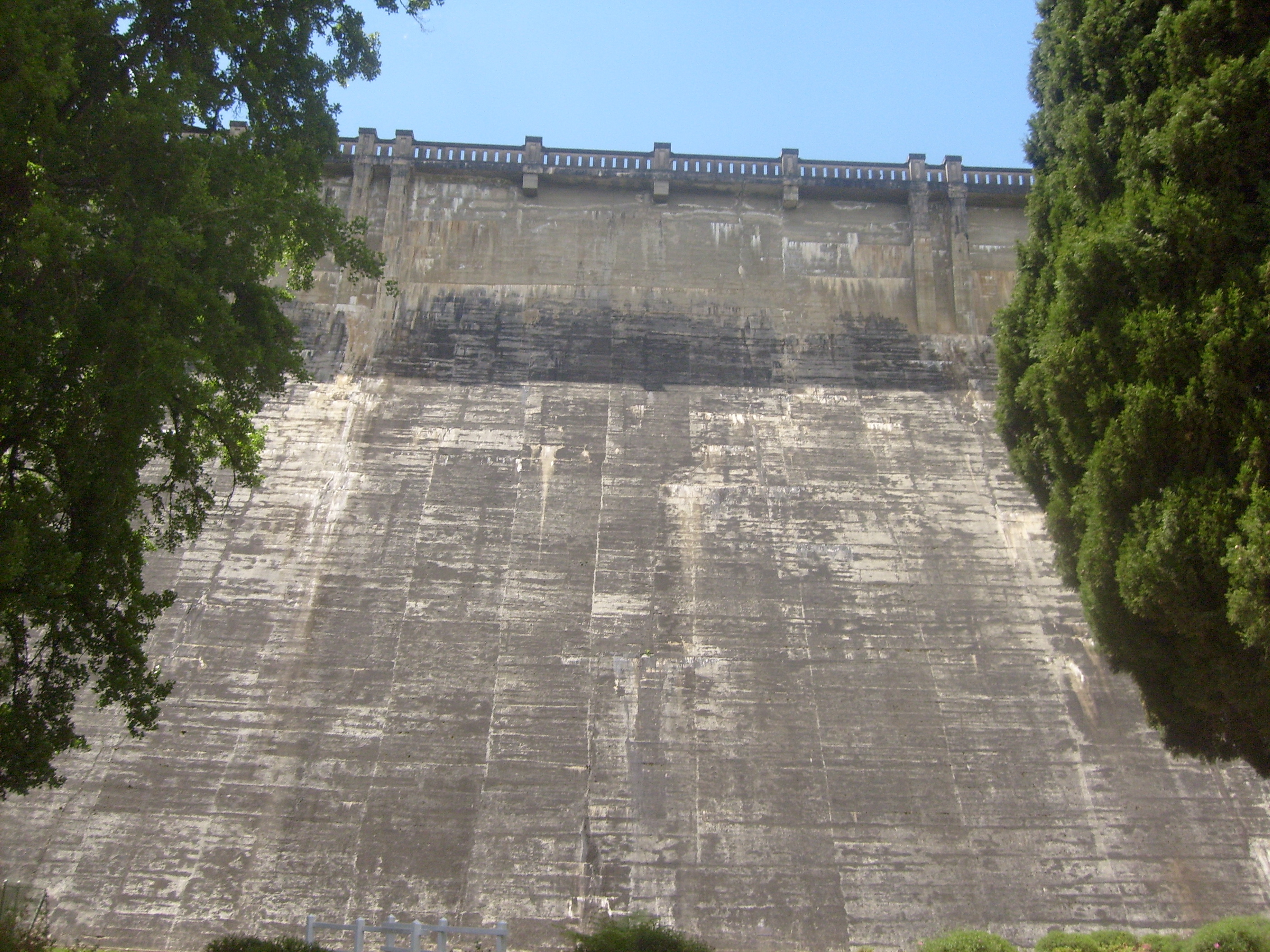
The dam wall
-
The dam wall from the reservoir side.
-
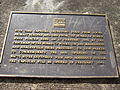
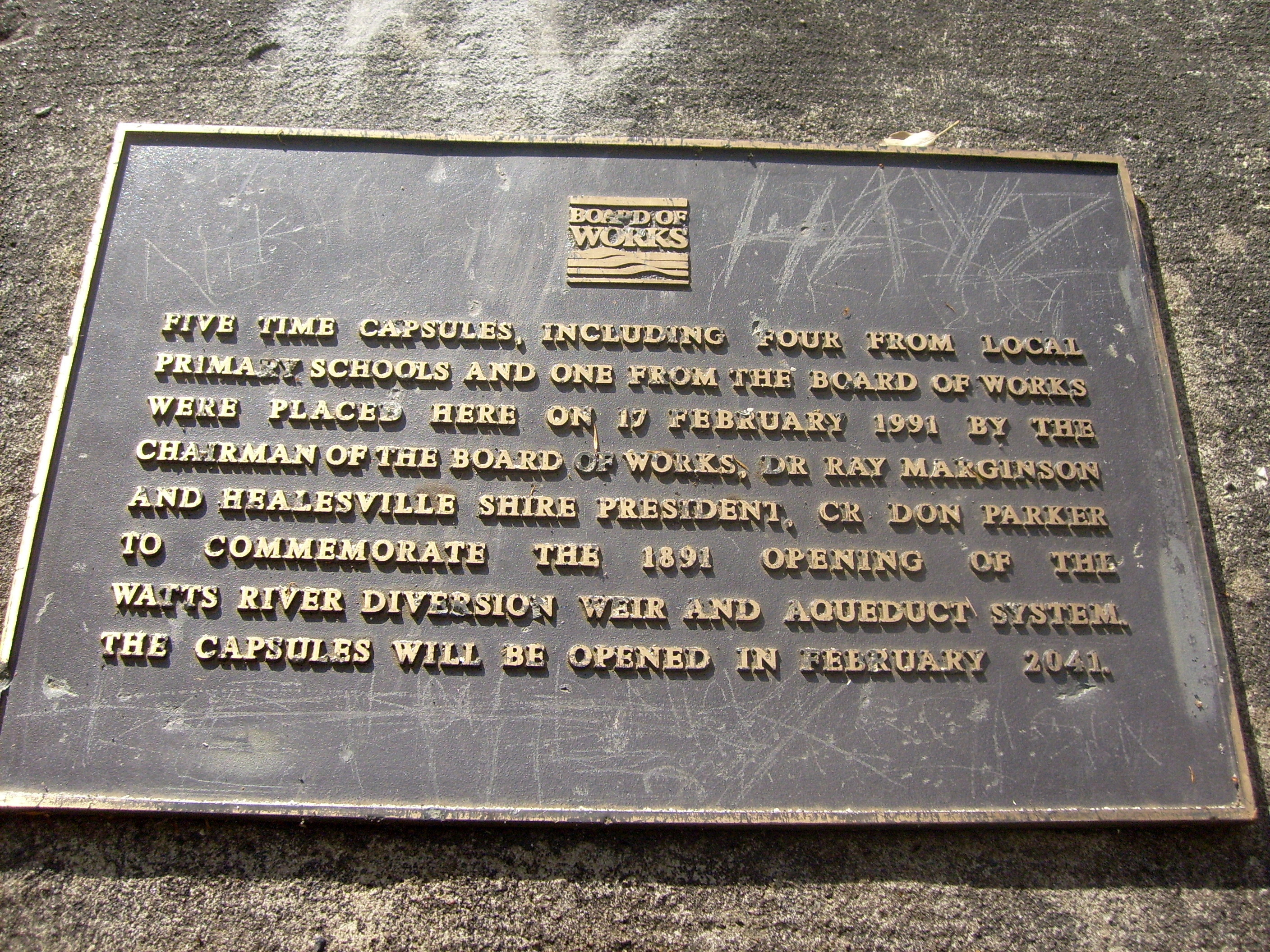
Plaque on dam wall
-

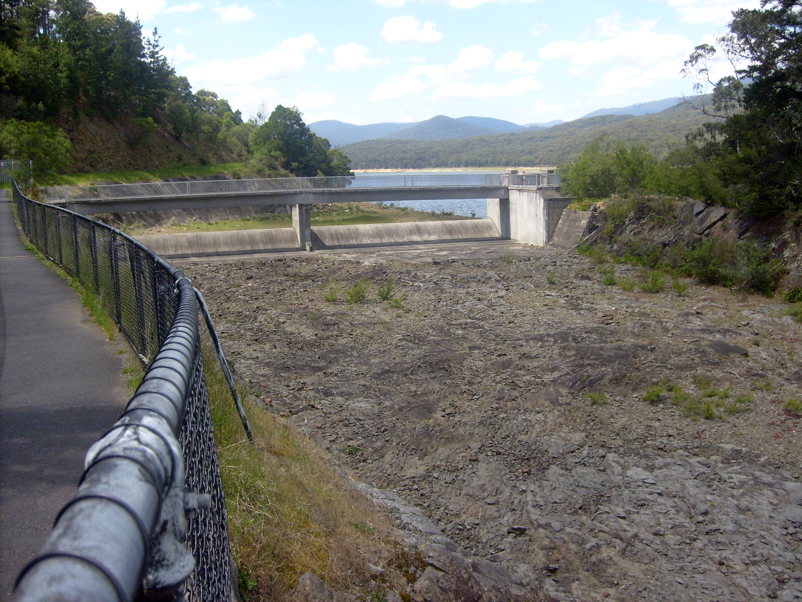
The Spillway
-
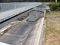
Looking at the spillway wall
-
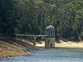
The outlet tower
-
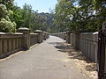
Looking along the dam wall pathway
-
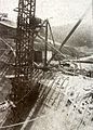
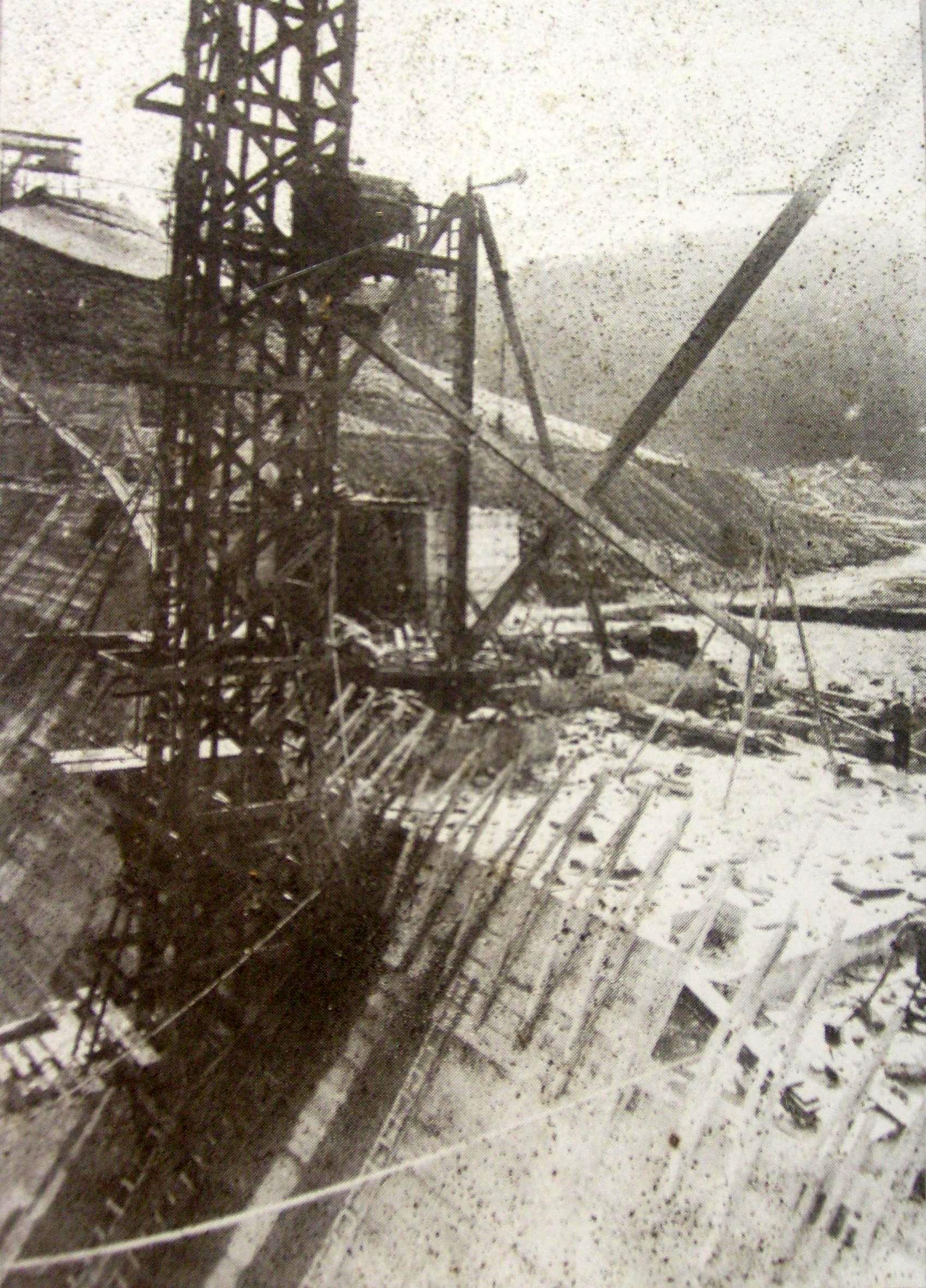
The park side of Maroondah Dam during construction
-
The reservoir side of Maroondah Dam during construction
-
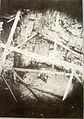
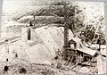
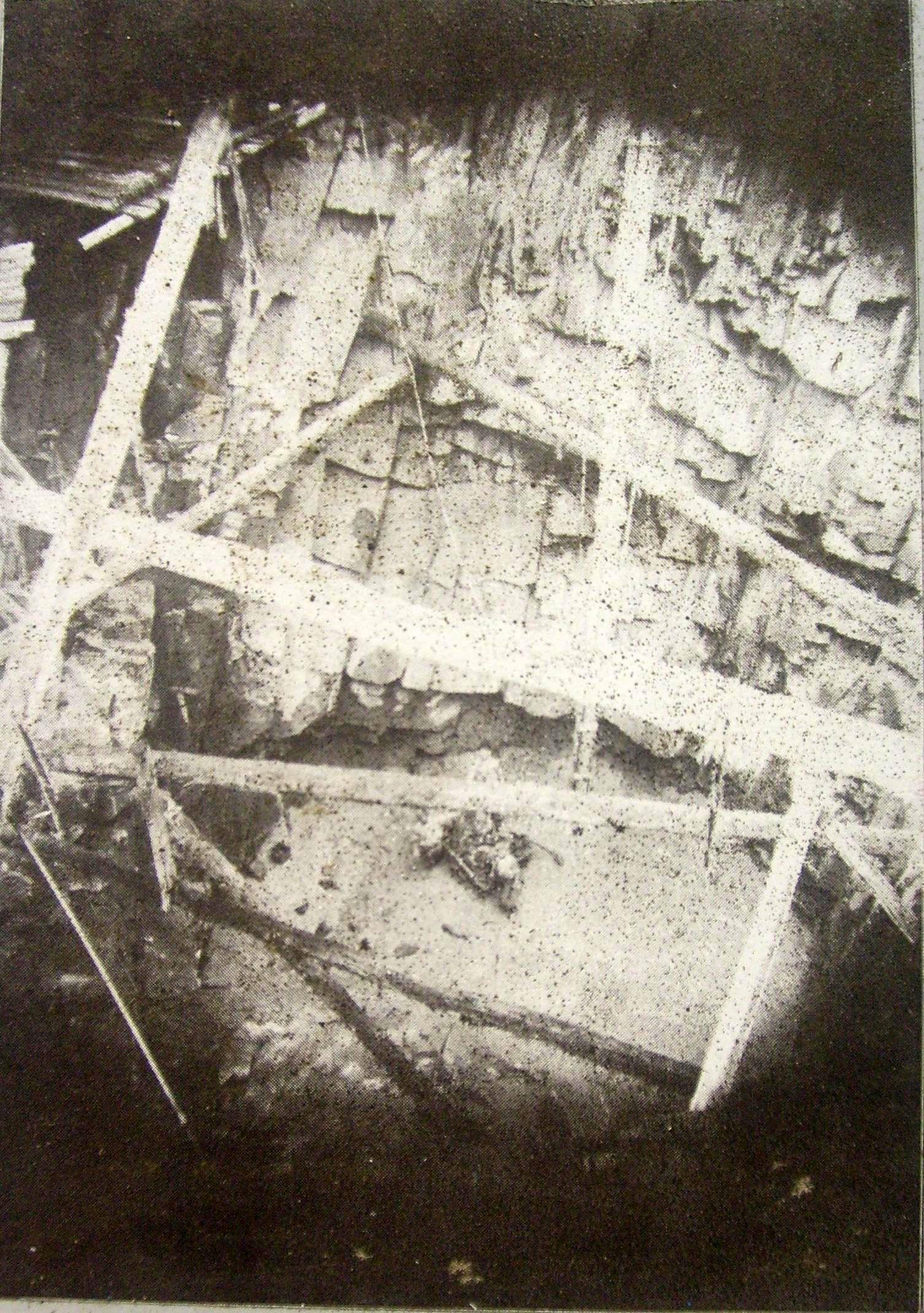
The base of the outlet tower, during construction
-
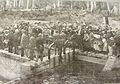
The opening of the dam in 1927
-
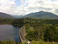
Maroondah Dam at capacity, October 2011
-
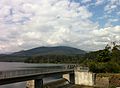
Maroondah Dam spillway operating, October 2011.
-
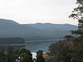
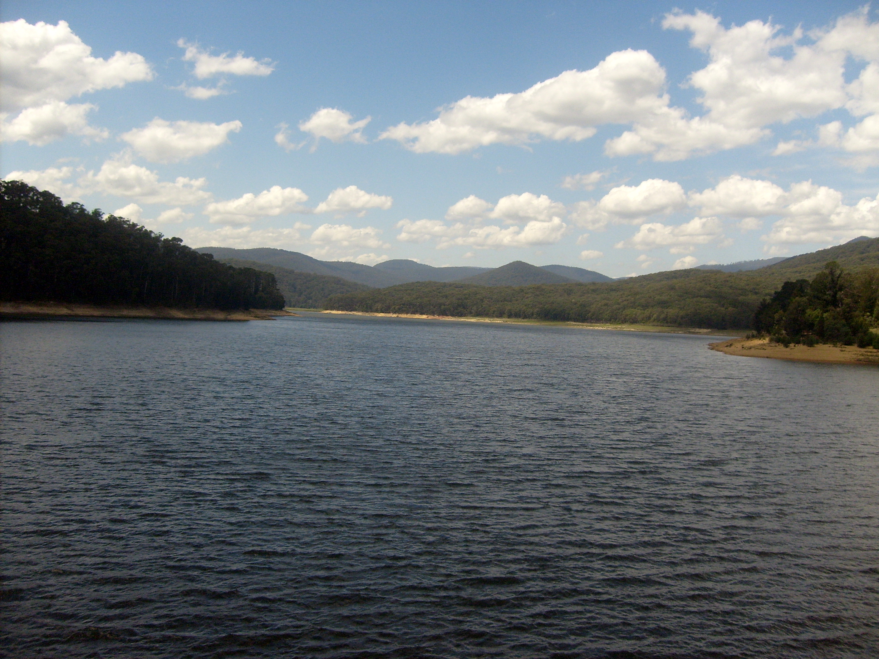
Maroondah Reservoir viewed from the Melba Highway, 2009
References
- ^ a b Ritchie, E. G. (October 1934), "Melbourne's Water Supply Undertaking", Journal of Institution of Engineers Australia 6: 379–382, archived from the original on 2011-04-05, http://www.webcitation.org/5xi1VS8i9
External links
Coordinates: 37°38′05″S 145°33′47″E / 37.63472°S 145.56306°E
Melbourne dams by capacity Thomson (1,068,000 Ml) • Cardinia (287,000 Ml) • Upper Yarra (200,000 Ml) • Sugarloaf (96,000 Ml) • Silvan (40,000 Ml) • Tarago (37,500 Ml) • Yan Yean (30,000 Ml) • Greenvale (27,000 Ml) • Maroondah (22,000 Ml)• O'Shannassy (3,000 Ml)Categories:- Geography of Melbourne
- Reservoirs and dams in Australia
- Water resources management in Australia
-


Wikimedia Foundation. 2010.