- Đeravica Lake
-
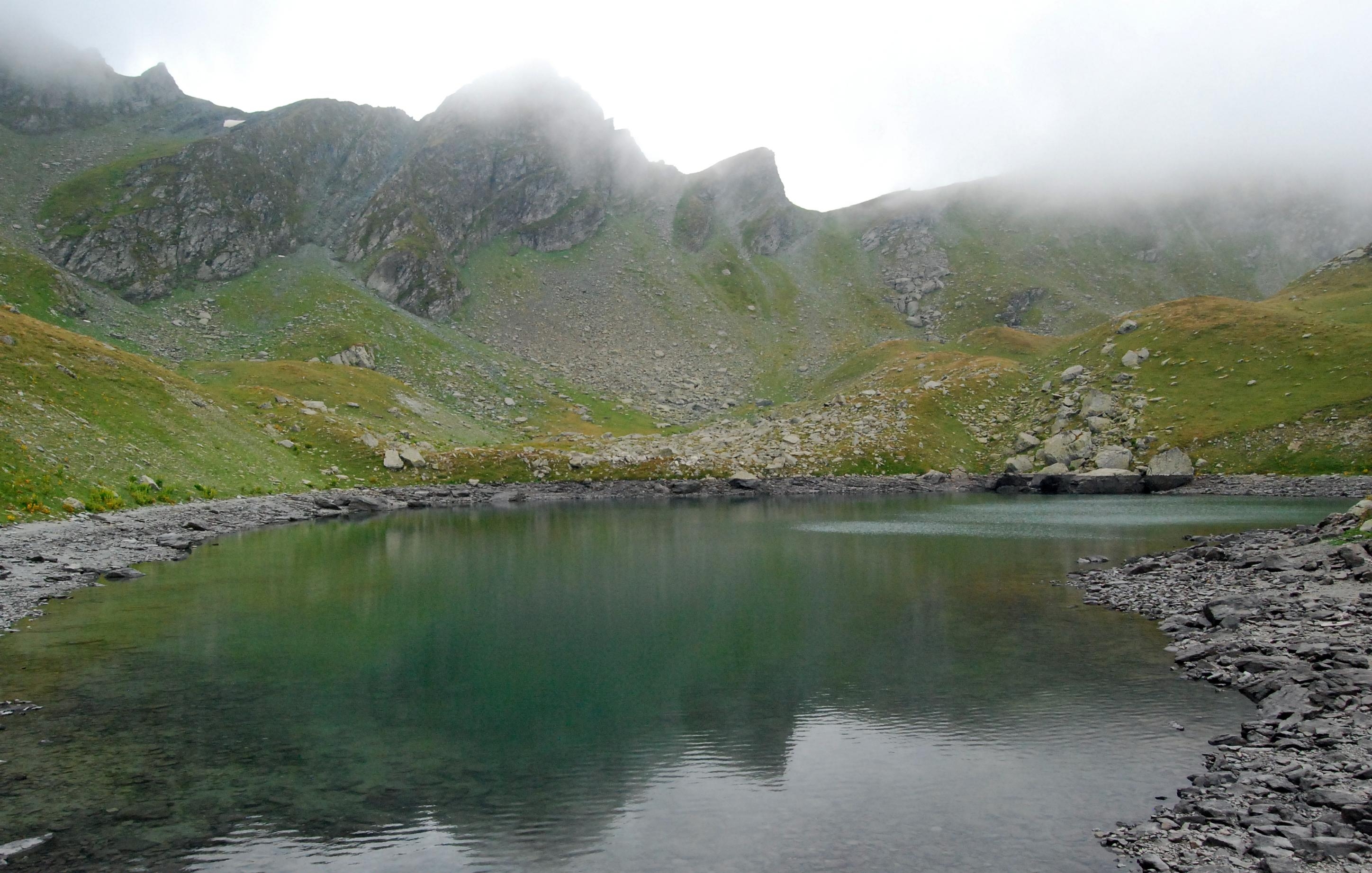
Đeravica Lake Location Kosovo[a] Coordinates 42°31′51″N 20°08′06″E / 42.5308°N 20.1351°ECoordinates: 42°31′51″N 20°08′06″E / 42.5308°N 20.1351°E Primary outflows Erenik Basin countries Kosovo[a] Max. length 240 m (787 ft) Max. width 120 m (394 ft) Average depth 3.8 m (12 ft) Surface elevation 2,200 m (7,200 ft) Đeravica Lake (Serbian: Језеро Ђеравица; Albanian: Liqeni i Gjeravicës) is a mountain lake in Kosovo[a] located just under the summit of Đeravica. The lake is about 2,200 m (7,218 ft) above sea level. It is shaped like a tooth and is the origin of the Erenik river which flows down to the Metohija region of western Kosovo. The maximum length of this lake is 240 m (787 ft) and the width is 120 m (394 ft). The lake is known for is its many salamanders, which feast on flying insects. The lake has a maximum depth of 3.8 m (12 ft). The Lake contains many fish.
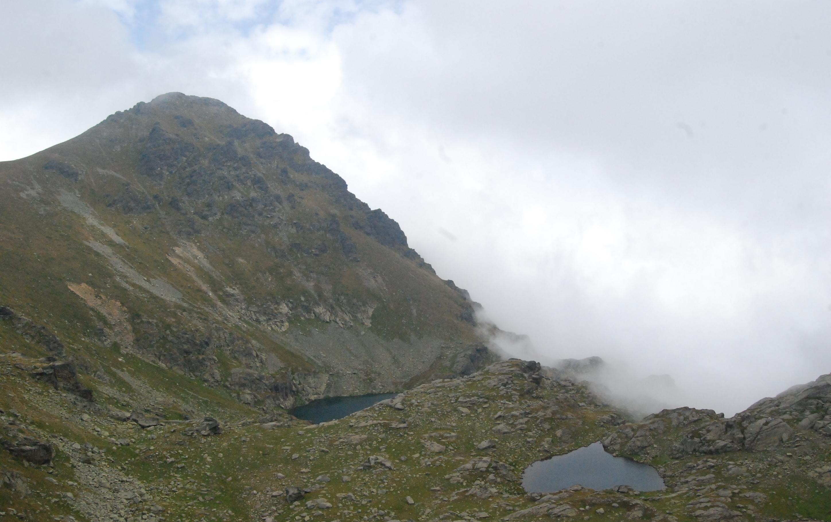
Gallery
Notes and references
Notes:
a. ^ Kosovo is the subject of a territorial dispute between the Republic of Serbia and the self-proclaimed Republic of Kosovo. The latter declared independence on 17 February 2008, while Serbia claims it as part of its own sovereign territory. Its independence is recognised by 85 UN member states. References:
Categories:- Lakes of Kosovo
- Lakes of Serbia
- Glacial lakes
- Prokletije Mountains
- Kosovo geography stubs
-
Wikimedia Foundation. 2010.