- Ceyranbatan
-
Ceyranbatan — Municipality — 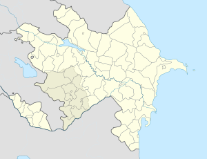
 Ceyranbatan
Coordinates: 40°32′27″N 49°39′35″E / 40.54083°N 49.65972°ECoordinates: 40°32′27″N 49°39′35″E / 40.54083°N 49.65972°E Country  Azerbaijan
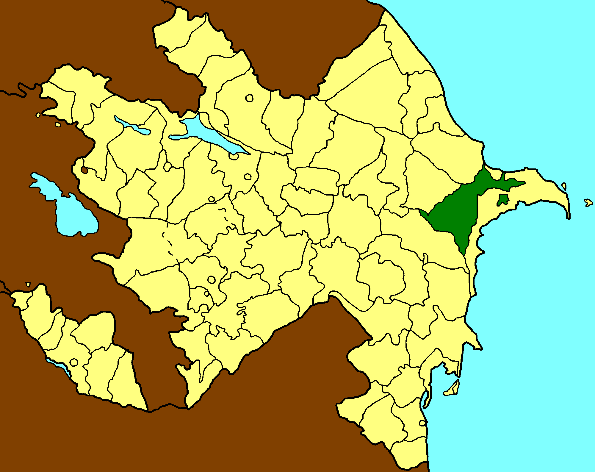
Rayon Absheron Population (2008)[1] - Total 5,969 Time zone AZT (UTC+4) - Summer (DST) AZT (UTC+5) Ceyranbatan (also, Dzheyranbatan) is a village and municipality in the Absheron Rayon of Azerbaijan.[citation needed] It has a population of 5,969.
References
- ^ World Gazetteer: Azerbaijan – World-Gazetteer.com
Absheron Rayon Capital: Xırdalan Aşağı Güzdək, Babadzhan, Ceyranbatan, Çuxanlı, Digah, Fatmayı, Gasan, Hacıvəli, Hökməli, Kayaldzha, Keytikh, Klych, Kum, Masazır, Mehdiabad, Məmmədli, Miadzhik, Nağdalı, Nakhar, Novxanı, Pirəkəşkül, Pirəkəşkül-Qobustan, Qobu, Qobustan, Ramazan, Saray, Shoki, Suleyman, Sündü, Utalgi, Uzun-Dere, Veylyar, Yuzuf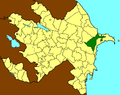 Categories:
- Populated places in Absheron Rayon
- Absheron Economic Region geography stubs

Wikimedia Foundation. 2010.