- Shomera
-
Shomera 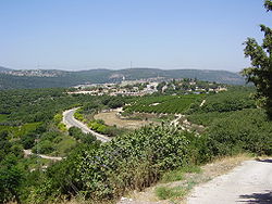
Founded 1949 Founded by Hungarian and Romanian Jews Council Ma'ale Yosef Region Galilee Affiliation Moshavim Movement Coordinates 33°4′58.29″N 35°17′3.26″E / 33.0828583°N 35.2842389°ECoordinates: 33°4′58.29″N 35°17′3.26″E / 33.0828583°N 35.2842389°E 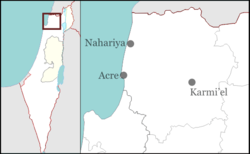
 Shomera
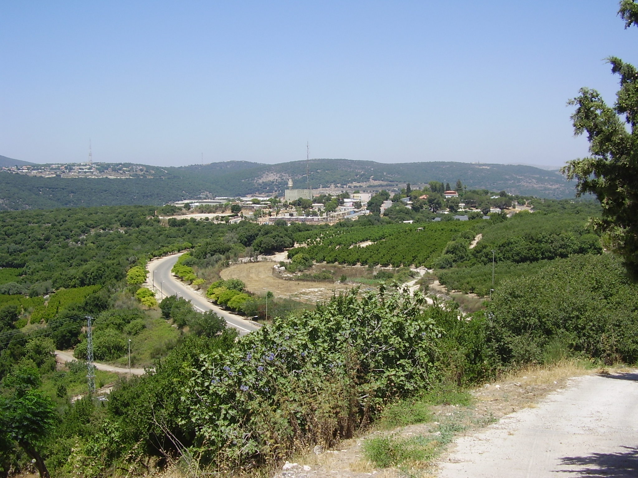
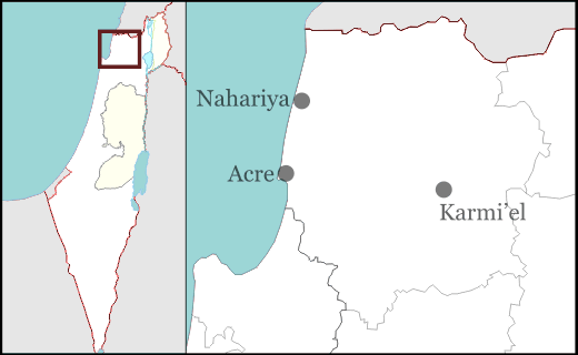
Shomera (Hebrew: שׁוֹמֵרָה, lit. Guard) is a moshav in northern Israel. Located near the Lebanese border, it falls under the jurisdiction of Ma'ale Yosef Regional Council. In 2006 it had a population of 322.
The village was established in 1949 by immigrants from Hungary and Romania near the Arab village of Tarbikha which was depopulated in 1948. In 1950 they were joined by Jewish immigrants from Morocco. Its name reflects the moshav's proximity to the Lebanese border.
An Israel Defense Forces armory is located in the moshav.
Moshavim Avdon · Ein Ya'akov · Elkosh · Even Menachem · Goren · Hosen · Lapidot · Manot · Me'ona · Netu'a · Peki'in HaHadasha · Shomera · Shtula · Tzuriel · Ya'ara · Zar'itCommunal settlements Categories:- Ma'ale Yosef Regional Council
- Moshavim
- Populated places established in 1949
Wikimedia Foundation. 2010.