- Netu'a
-
Netu'a Founded 1966 Founded by Moshavniks Council Ma'ale Yosef Region Galilee Affiliation Moshavim Movement Coordinates 33°3′53.24″N 35°19′21.97″E / 33.0647889°N 35.3227694°ECoordinates: 33°3′53.24″N 35°19′21.97″E / 33.0647889°N 35.3227694°E 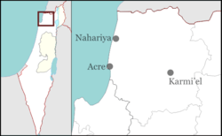
 Netu'a
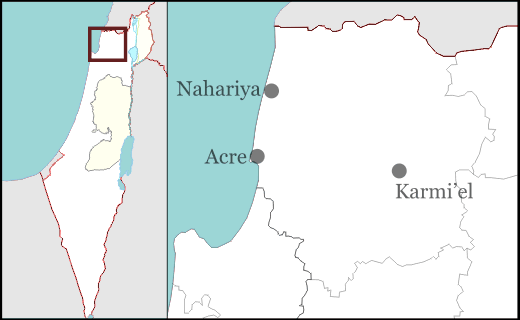
Netu'a (Hebrew: נְטוּעָה, lit. Planted) is an moshav in northern Israel. Located near the Lebanese border, it falls under the jurisdiction of Ma'ale Yosef Regional Council. In 2006 it had a population of 251.
The village was established in 1966 by residents of other local moshavim as part of a plan to encourage more Jewish settlement in the Galilee. It is founded on the land of the Palestinian village of Dayr al-Qassi[1]
References
- ^ Khalidi (1992), p.13
Bibliography
- Khalidi, Walid (1992), All That Remains, Washington D.C.: Institute for Palestine Studies, ISBN 0-88728-224-5
Moshavim Avdon · Ein Ya'akov · Elkosh · Even Menachem · Goren · Hosen · Lapidot · Manot · Me'ona · Netu'a · Peki'in HaHadasha · Shomera · Shtula · Tzuriel · Ya'ara · Zar'itCommunal settlements Categories:- Ma'ale Yosef Regional Council
- Moshavim
- Populated places established in 1966
Wikimedia Foundation. 2010.