- Chitwood, Oregon
-
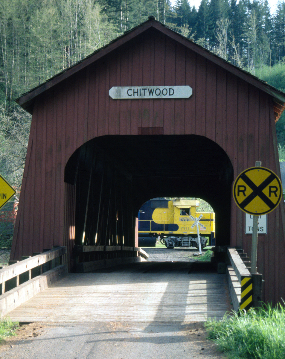
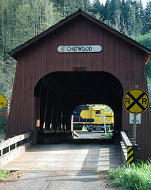 A covered bridge at Chitwood
Chitwood is an unincorporated community in Lincoln County, Oregon, United States. Chitwood lies on U.S. Route 20 between Toledo to the west and Eddyville to the east.
Municipalities and communities of Lincoln County, Oregon County seat: Newport Cities 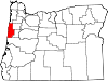
CDPs Unincorporated
communitiesAgate Beach | Beverly Beach | Burnt Woods | Chitwood | Eddyville | Fisher | Gleneden Beach | Harlan | Kernville | Little Albany | Logsden | Nashville | Neotsu | Newport Heights | Nortons | Otis | Otis Junction | Otter Rock | Seal Rock | South Beach | Tidewater | Yaquina
Indian reservation Coordinates: 44°39′17″N 123°49′21″W / 44.65472°N 123.8225°W
Categories:- Unincorporated communities in Lincoln County, Oregon
- Lincoln County, Oregon geography stubs

Wikimedia Foundation. 2010.