- Nevada State Route 28
-
State Route 28
North Shore Road, Tahoe Boulevard Route information Maintained by Nevada DOT Length: 16.174 mi[1] (26.030 km) Major junctions South end:  US 50 near Glenbrook
 SR 431 in Incline Village
North end:  SR 28 at Kings Beach, CA
Location Counties: Douglas, Carson City, Washoe Highway system ←  I-15
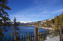
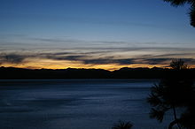
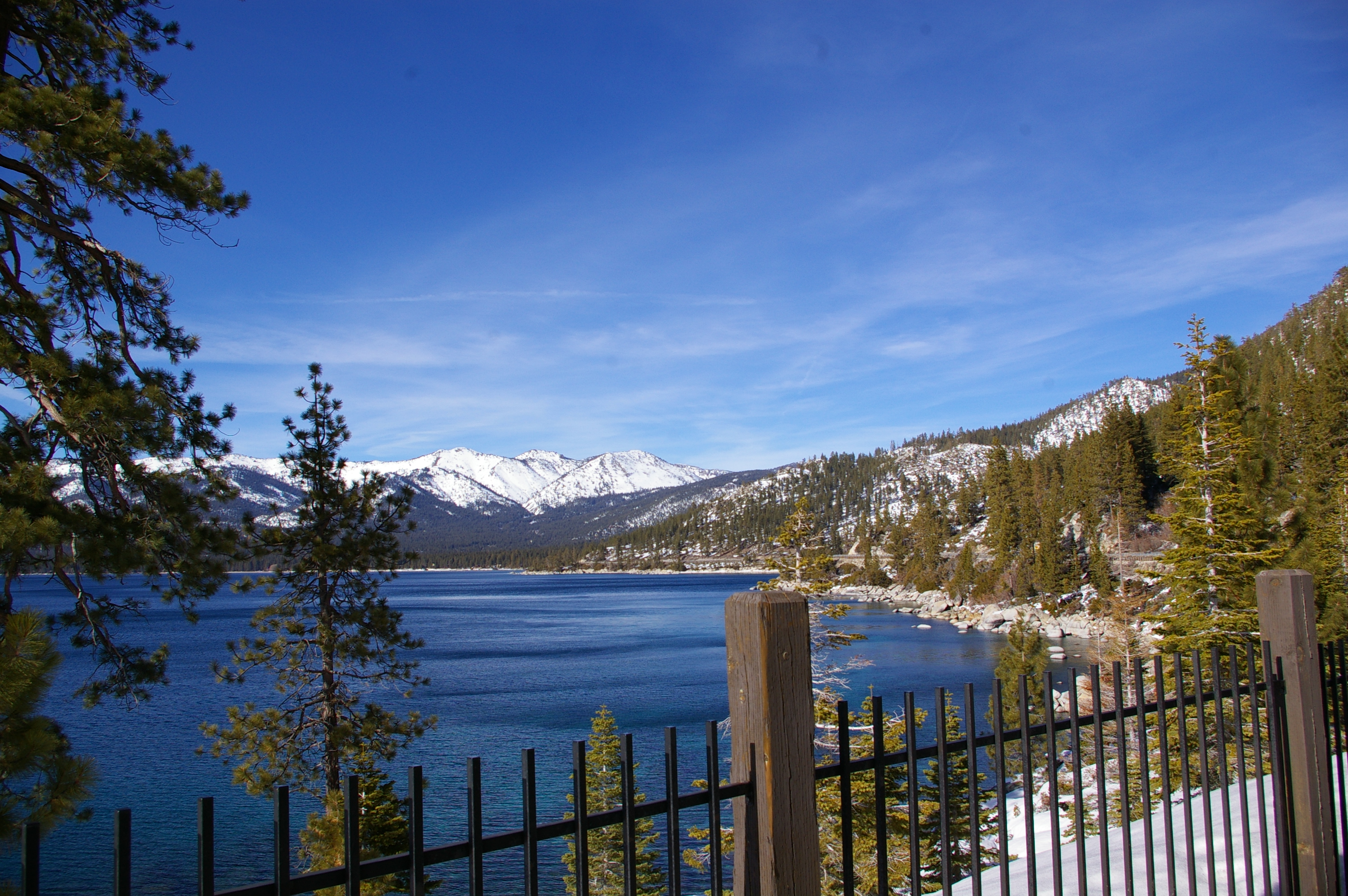
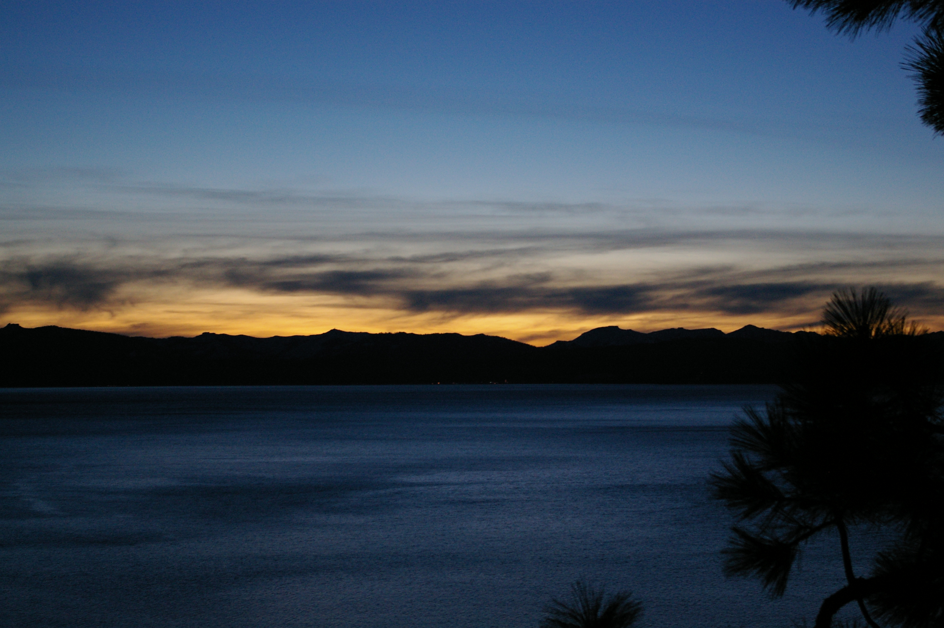
I-15US 50 →State Route 28 is a 16.2-mile (26.1 km) road that runs along the northeastern shore of Lake Tahoe. The road has been designated as the north piece of the Lake Tahoe–Eastshore Drive Scenic Byway as part of the National Scenic Byway program. (The byway continues south on US 50 to Stateline.)[2] The highway is one of three Nevada state routes to continue into California with the same number, the others being State Route 88 and State Route 266.
The highway serves Douglas County and Washoe County as well as a rural part of Carson City
Contents
Route description
SR 28 begins at U.S. Route 50 in Douglas County, Nevada. It heads north from here, forming part of the boundary of Lake Tahoe – Nevada State Park until crossing into Carson City. The highway then enters Washoe County and where the highway enters Humboldt-Toiyabe National Forest. It then turns northwest, running through Incline Village. In western Incline Village, SR 28 junctions with State Route 431, which is a direct link to Reno to the northeast. Just short of the California state line, it turns south to run parallel to the line and finally crosses into California at Crystal Bay. The road continues west of the California border as State Route 28.
History
The Route 28 corridor has been used for flumes in the timber industry since 1880.[3] The highway gained fame for many years as the location of the Ponderosa Ranch, filming location of the television series Bonanza.
Major intersections
- Note: Mileposts in Nevada reset at county lines; the start and end mileposts for each county are given in the county column.
County Location[4] Mile
[1][5]Roads Intersected Notes Douglas
DO 0.00-1.230.00 US 50 – Carson City, StatelineLake Tahoe – Nevada State Park Carson City
CC 0.00-3.95Hidden Cove Washoe
WA 0.00-10.99Sand Harbor Incline Village 4.98 Lakeshore Drive SR 431 – Reno10.99 SR 28 – Tahoe CityReferences
- ^ a b "Nevada's State Maintained Highways: Descriptions, Index and Maps". Nevada Department of Transportation. January 2008. http://www.nevadadot.com/reports_pubs/State_Maintained/. Retrieved 2009-01-14.
- ^ "Lake Tahoe – Eastshore Drive". U.S. Department of Transportation National Scenic Byways Program. http://www.byways.org/explore/byways/2456/.
- ^ "The Great Incline of the Sierra Nevada". State of Nevada, State Historic Preservation Office. http://dmla.clan.lib.nv.us/docs/shpo/markers/mark_246.htm. Retrieved 2008-02-17.
- ^ Benchmark Maps (2003). Nevada Road and Recreation Atlas (Map). 1:250000. ISBN 0-929591-81-X. http://www.benchmark.com.
- ^ Nevada Department of Transportation (May 2008). "Maps of Milepost Location on Nevada's Federal and State Highway System by County". http://www.nevadadot.com/traveler/maps/StateMaps/pdfs/MilepostBook2008.pdf. Retrieved 2009-01-11.
External links
Categories:- State highways in Nevada
- Transportation in Douglas County, Nevada
- Transportation in Carson City, Nevada
- Transportation in Washoe County, Nevada
- Nevada Scenic Byways

Wikimedia Foundation. 2010.