- Dafni, Attica
-
Dafni
ΔάφνηLocation 
 Dafni
DafniCoordinates 37°57′N 23°43′E / 37.95°N 23.717°ECoordinates: 37°57′N 23°43′E / 37.95°N 23.717°E Location within Athens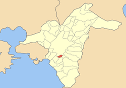
Government Country: Greece Region: Attica Regional unit: Central Athens Municipality: Dafni-Ymittos Population statistics (as of 2001) Municipal unit - Population: 23,674 - Area: 1.38 km2 (1 sq mi) - Density: 17,155 /km2 (44,431 /sq mi) Other Time zone: EET/EEST (UTC+2/3) Elevation (center): 80 m (262 ft) Postal: 172 xx Telephone: 210 Website www.dimosdafnis.gr Dafni, sometimes called Daphne, is a suburb of Athens, Greece. Since the 2011 local government reform it is part of the municipality Dafni-Ymittos, of which it is the seat and a municipal unit.[1]
It has an Athens Metro station (red line), while Vouliagmenis Avenue runs through it. It is the smallest municipality in Athens covering about 1 km². The city hall is in the south, 200 m from the municipal boundary. The municipality is divided in two, with one part covering 85-90% of the total area, and the second part covering 10-15% of the total municipal area, or about 0.5 km². It sits on a hill and almost the entire land is used for residential purposes; there are no industrial factories in that part of suburban Athens. A hill is located to the north near the Athens municipal boundary. The main street is Boumpoulinas Avenue. The Dafni BC HEBA basketball club (A2 Division) competes at the Dafni Indoor Hall; the team has, at times, featured former NBA players.
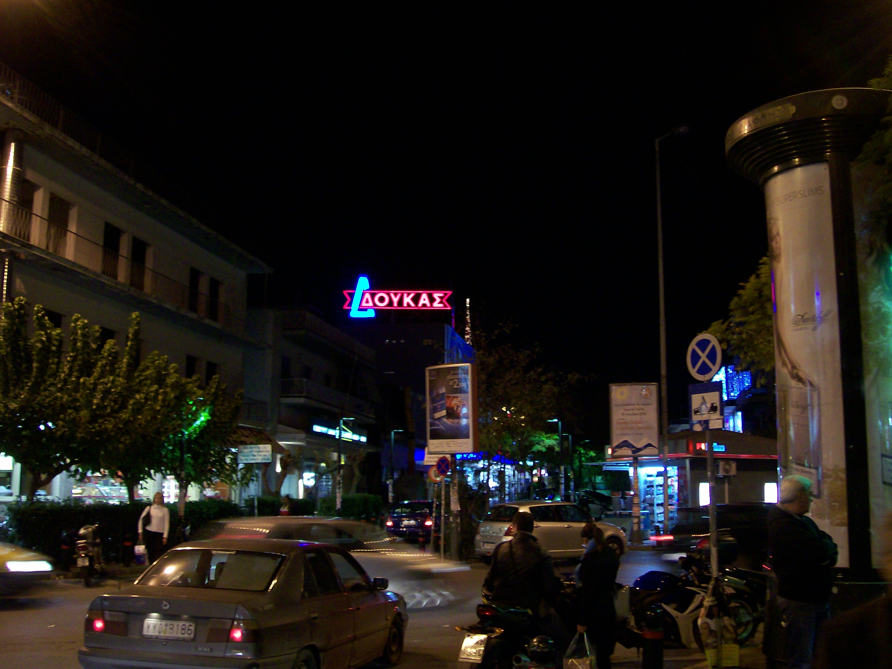
Photo gallery
-
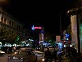
Nighttime scene of Kalogyrous Square, Dafni, Athens, Greece
References
- ^ Kallikratis law Greece Ministry of Interior (Greek)
External links
- Official website (Greek)
Municipal units Dafni · YmittosCategories:- Populated places in Central Athens
- Greece geography stubs
-


Wikimedia Foundation. 2010.