- Dentergem
-
Dentergem 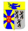
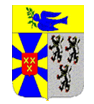
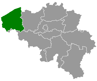
Coat of armsLocation in Belgium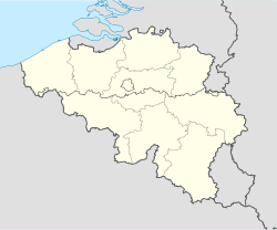
 Dentergem
Coordinates: 50°57′N 03°25′E / 50.95°N 3.417°E Country Belgium Region Flemish Region Community Flemish Community Province West Flanders Arrondissement Tielt Government - Mayor Koenraad Degroote - Governing party/ies Eendracht Area - Total 25.94 km2 (10 sq mi) Population (1 January 2010)[1] - Total 8,254 - Density 318.2/km2 (824.1/sq mi) Demographics - Foreigners 0.73% (7 January 2005) Postal codes 8720 Area codes 051 - 056 - 09 Website www.dentergemonline.com Map of Dentergem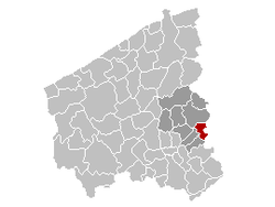
Dentergem is a municipality located in the Belgian province of West Flanders. The municipality comprises the towns of Dentergem proper, Markegem, Oeselgem and Wakken. On January 1, 2006 Dentergem had a total population of 8,188. The total area is 25.94 km² which gives a population density of 316 inhabitants per km².
References
- ^ Population per municipality on 1 January 2010 (XLS; 221 KB)
External links
- Official website - Available only in Dutch
Bruges Beernem · Blankenberge · Bruges/Brugge · Damme · Jabbeke · Knokke-Heist · Oostkamp · Torhout · Zedelgem · Zuienkerke
Diksmuide Kortrijk Ostend Roeselare Tielt Veurne Ypres Heuvelland · Ieper/Ypres · Langemark-Poelkapelle · Mesen · Poperinge · Vleteren · Wervik · ZonnebekeCategories:- Municipalities of West Flanders
- West Flanders geography stubs


Wikimedia Foundation. 2010.