- Watermans Bay, Western Australia
Infobox Australian Place | type = suburb
name = Watermans Bay
city = Perth
state = wa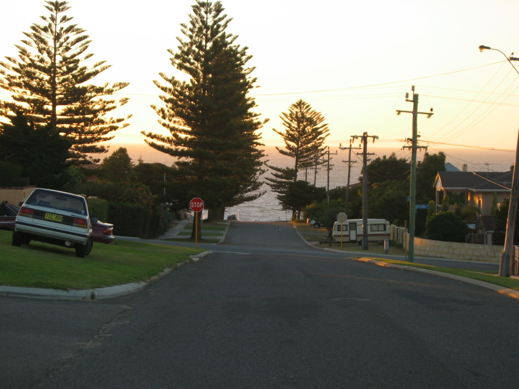
caption =
lga = City of Stirling
area = 1.7
postcode = 6020
pop = 1,195 (2006 census)Census 2006 AUS|id=SSC52476|name=Watermans Bay (State Suburb)|quick=on|accessdate=2008-10-05]
dist1 = 18 |location1=Perth
est = 1918
fedgov = Moore
stategov = Carine
near-nw =
near-n = Marmion
near-ne = Duncraig
near-w =
near-e = Carine
near-sw =
near-s = North Beach
near-se = Karrinyupcoord|-31.851|115.758|type:city(1195)_region:AU-WA_scale:30000|format=dms|display=titleWatermans Bay is a northern coastal suburb of Perth, the capital city of
Western Australia . Its Local Government Area is theCity of Stirling .History
The area originally formed part of the Hamersley Estate, which also included the suburbs now known as Carine, North Beach and Hamersley. These areas were owned by the Hamersley family, who arrived from Europe to settle in the
Swan River Colony in 1837 and built a summer home just south of Waterman called "The Castle" in 1865, where their large family as well as the Perth elite congregated for summer holidays.cite web|url=http://trails.heritage.wa.gov.au/ht_pdf/StarSwamp.pdf|title=Heritage Trail - Star Swamp|accessdate=2006-09-15|author=Heritage Council of WA|year=1999|month=June] Many of the street names in the suburb honour members of theHamersley family , including Ethel, Margaret, Mary and Ada.Originally set aside as a timber reserve, the area was first settled by pastoralists in the 1860s. It served as a stopping point and watering hole along the Coastal Stock Route between Dongara (near Geraldton) and Fremantle. Cattle drovers frequented the area and Afghan camel drivers were a common sight after the opening of the goldfields in the 1890s.
In 1908, the first house in modern-day Waterman was built by a fisherman, Alfred Waterman, who named his house "Zephyr". The beach front adjacent to his house became known as Watermans Bay, which became a popular fishing spot.LandInfo WA|m|W|2007-04-17] The only way into the area at this time was via a wooden block road built by convicts (later
Wanneroo Road ) and then along a limestone track to North Beach, although numerous tracks through the bushland were developed as time progressed.In 1918, the area was subdivided as the Mt Flora Estates, but initial development was largely limited to holiday shacks. After World War II, the area developed rapidly, and in 1954, the Postal District of Watermans Bay was approved.cite web|url=http://www.stirling.wa.gov.au/home/council/Suburbs/Watermans+Bay.htm|title=Suburbs - Watermans Bay|author=City of Stirling|accessdate=2007-01-17] By 1961, nearly all of the existing suburb had been built and settled.
Name controversy
In 1962, the name Watermans Bay was shortened to Waterman as it did not comply with WA state government regulations at the time as it was not strictly speaking a bay. This move was unpopular with local residents, who lobbied to revert the name. In November 2003, the Geographic Names Committee accepted a City of Stirling proposal to return to the original name following a survey of Waterman households, 491 of whom supported the proposal and 11 of whom opposed it.
Star Swamp
Star Swamp Bushland Reserve is a bushland reserve occupying about half of the land area of the suburbs of Watermans Bay and North Beach. The precise origin of the name is unknown, but the earliest known use of the name was on a lease application by J.H.Okely of Wanneroo in 1868.In 1987, the State Government set aside 96 hectares as an A-class reserve, [Gazette WA | title = Naming of Star Swamp | file = 3129/977 V3 | page = 1987:1246 | date = 3 April 1987] and funding from the Bicentennial Commemorative Program and assistance from local organisations facilitated the establishment of the Star Swamp Heritage Trail within the reserve.
Geography
Watermans Bay is bounded by the Beach Road coastal segment to the north,
Marmion Avenue to the east, Hale Street to the south and West Coast Drive and the ocean to the west. Star Swamp sits east of Hope Street and represents just over one-half of the suburb. Reid Highway ends at the southeastern corner, and is the suburb's outlet to theMitchell Freeway and the Perth CBD.Streetsmart WA|maps=Map 280/310]At the ABS 2006 census, Waterman had a population of 1,195 people living in 494 dwellings, with an average age of 45 years (the third-oldest in the northern suburbs). Residential styles in Watermans Bay range from timber and fibro workers' homes to modern two storey dwellings constructed of brick. Due to its small size and surroundings, it is one of the most expensive of the northern suburbs in Perth.
Facilities
Watermans Bay is a residential suburb, relying on a shop on West Coast Drive and nearby shops in Marmion and Duncraig for basic commercial services, and nearby
Karrinyup Shopping Centre for other services. The suburb contains no schools, butMarmion Primary School is just beyond its northern boundary.Star Swamp Bushland Reserve is accessible from the eastern edge of the suburb. The WA Marine Research Laboratories are located on the beach off Elvire Street, and until recently were the headquarters of the Research Division of the WA Department of Fisheries, which moved to Hillarys in June 2005. [cite web|url=http://www.fish.wa.gov.au/docs/pub/Overview/research.php?0406|title=Overview of the Research Division|accessdate=2007-01-17|year=2005|month=November|author=Department of Fisheries (WA)] The site has since become the home of the department's International Operations Branch.
On the southern boundary, on Elvire Street, is the Mount Flora Regional Museum, built in 1936 as a water tower at the highest point of the suburb to provide scheme water to surrounding areas. It was phased out of service in the 1970s, and converted to a museum and lookout in May 1986. It now details the region's history, and is home to the North Suburban Historical Society.
Transport
Watermans Bay is served by the 423 bus route between Warwick and Stirling train stations, operated by
Path Transit . [ [http://www.transperth.wa.gov.au/TimetablePDFs/Northern%2062%2020050808.pdf Northern 62 timetable] , Transperth, effective 8 August 2005. Accessed 17 January 2007.]Politics
Watermans Bay is a reasonably affluent suburb with a large elderly population. It consistently supports the Liberal Party at both federal and state elections.
References
External links
* [http://www.stirling.wa.gov.au/home/community/Environment/Star+Swamp.htm City of Stirling - Star Swamp Nature Reserve]
* [http://trails.heritage.wa.gov.au/ht_pdf/StarSwamp.pdf Heritage Council - Star Swamp Heritage Trail]
* [http://www.stirling.wa.gov.au/home/library/Local+Studies+Collection/ City of Stirling - Mount Flora Regional Museum]
Wikimedia Foundation. 2010.